Todenham and the lost Ditchfords
Recommended by

"A walk among the ghosts of former medieval agricultural communities, abandoned since the 15th century."
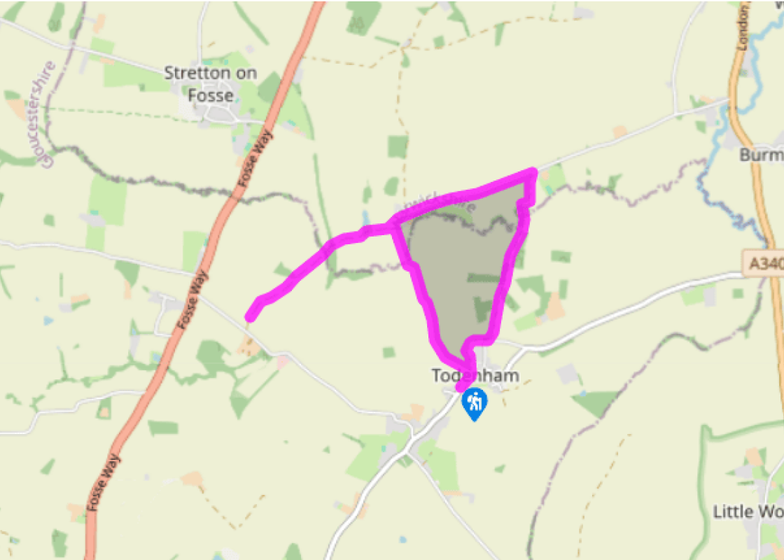
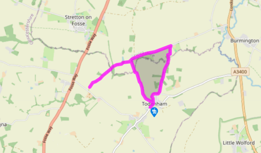
Walk directions
From a lay-by below Todenham village hall, walk up to turn left onto a wide track just after the hall, signposted ‘public path’. Just before Ash House, go left through a kissing gate in the corner of the hedge, then diagonally right across the open field to the gate opposite.
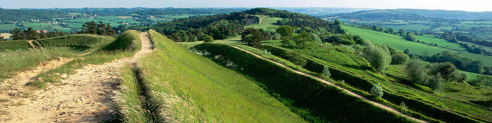
Go through a kissing gate in the hedge on the far side, into a field of undulations indicating medieval ploughing. Go straight ahead to a stile, cross into the neighbouring field and, staying on its upper part, go straight ahead in the direction of a large house.
View all directions
Additional information
Terrain
- Track and field, quiet lanes, ford or bridge, several stiles
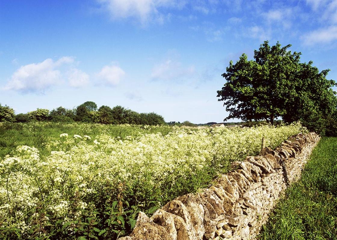
Landscape
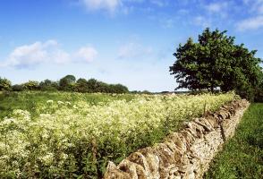
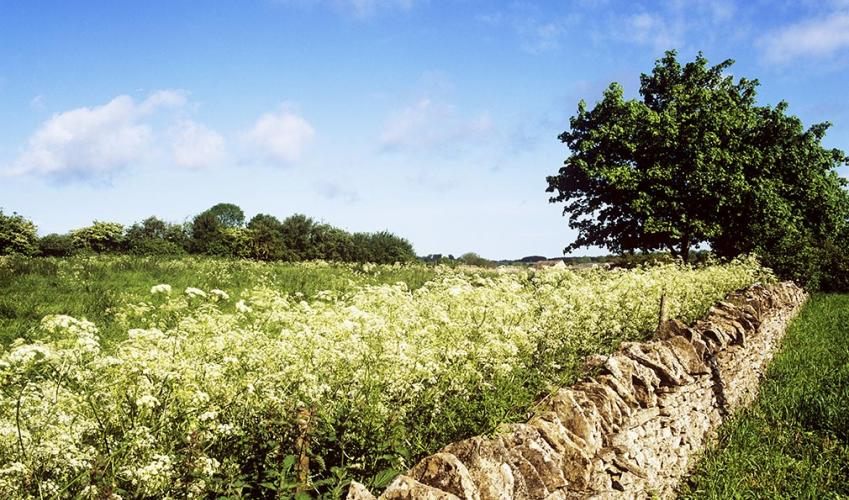
- Rolling fields, with good views at some points
Dog friendliness
- On lead around livestock
Parking
- Lay-bys on Todenham's main street, south of village hall
Toilets en route
- None on route
About the walk
There are cases of so-called ‘lost villages’ all over England, and almost as many theories and explanations for their demise. The principal culprit is said to be the Black Death sweeping through the countryside in the 14th century. However, in the case of the Ditchfords, there appear to be other...
Read more

Been on this walk?
Send us photos or a comment about this route. Or recommend a route of your own.

Walking in Safety
Read our tips to look after yourself and the environment when following this walk.

Get an AA guide
Explore our range of ‘50 Walks in’ guides - they’re the ideal companion for a ramble.
Been on this walk?
Send us photos or a comment about this route. Or recommend a route of your own.
Walking in Safety
Read our tips to look after yourself and the environment when following this walk.
Get an AA guide
Explore our range of ‘50 Walks in’ guides - they’re the ideal companion for a ramble.
About the area
Gloucestershire is home to a variety of landscapes, including the Cotswolds, a region of gentle hills, valleys and gem-like villages that roll through the county. To their west is the Severn Plain, watered by Britain’s longest river and characterised by orchards and farms marked out by hedgerows that blaze with mayflower in the spring; beyond the Severn are the Forest of Dean and the Wye Valley.
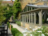
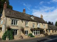
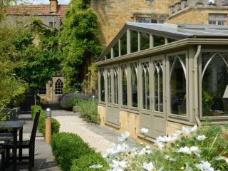
Nearby places to stay
View all (8)


Nearby places to stay

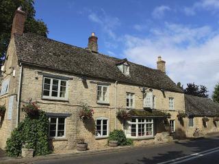
The Bower House
Situated on the edge of the Cotswolds, The Bower House is a delightfully restored townhouse which was built in the 1700s. Now a listed building, it has five beautifully furnished bedroo...
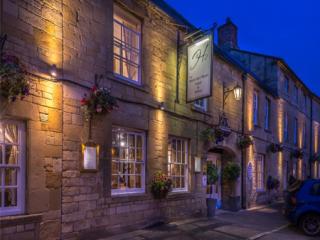
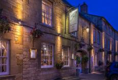
White Hart Royal
White Hart Royal has been providing accommodation for hundreds of years and today offers high standards of quality and comfort. Public areas are full of character, and the bedrooms, in ...
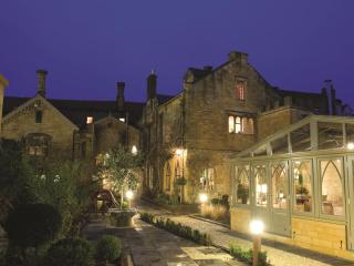
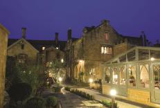
Manor House Hotel
The Cotswold-stone Manor Hotel might date from the reign of Henry VIII, but careful renovation and updating have brought it squarely into the 21st century. The bright and airy Mulberry ...

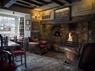
The Red Lion
Located in the pretty rural village of Long Compton in the Cotswold, The Red Lion is a mid 18th-century posting house retaining many original features which are complemented by rustic f...
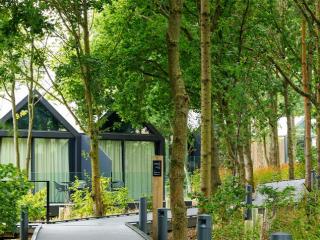
The Lodges at Feldon Valley
The Lodges at Feldon Valley are ideally situated in the north Cotswolds and surrounded by open countryside in the Feldon Valley. The accommodation is divided between a collection of lux...
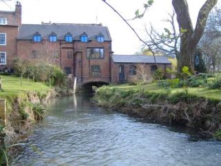
Tredington Mill
Tredington Mill is an 18th-century water mill in the quiet Warwickshire village of Tredington, in a charming riverside location. It’s a peaceful setting with stunning views and ideal fo...
Puddle Cottage
Awaiting description...
Pool View
Awaiting description...
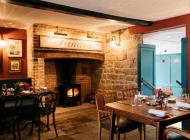
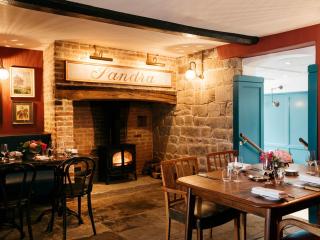
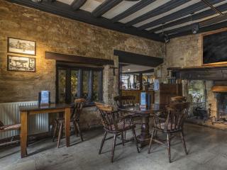
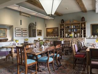
Places to eat nearby View all