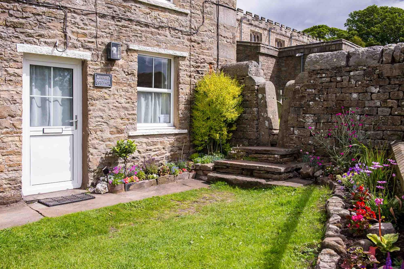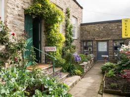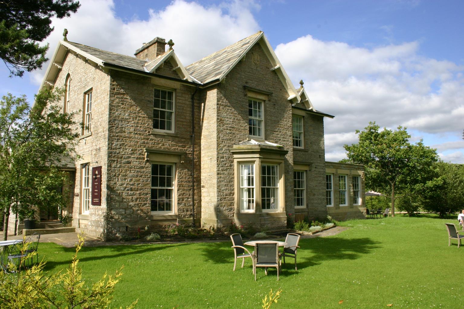
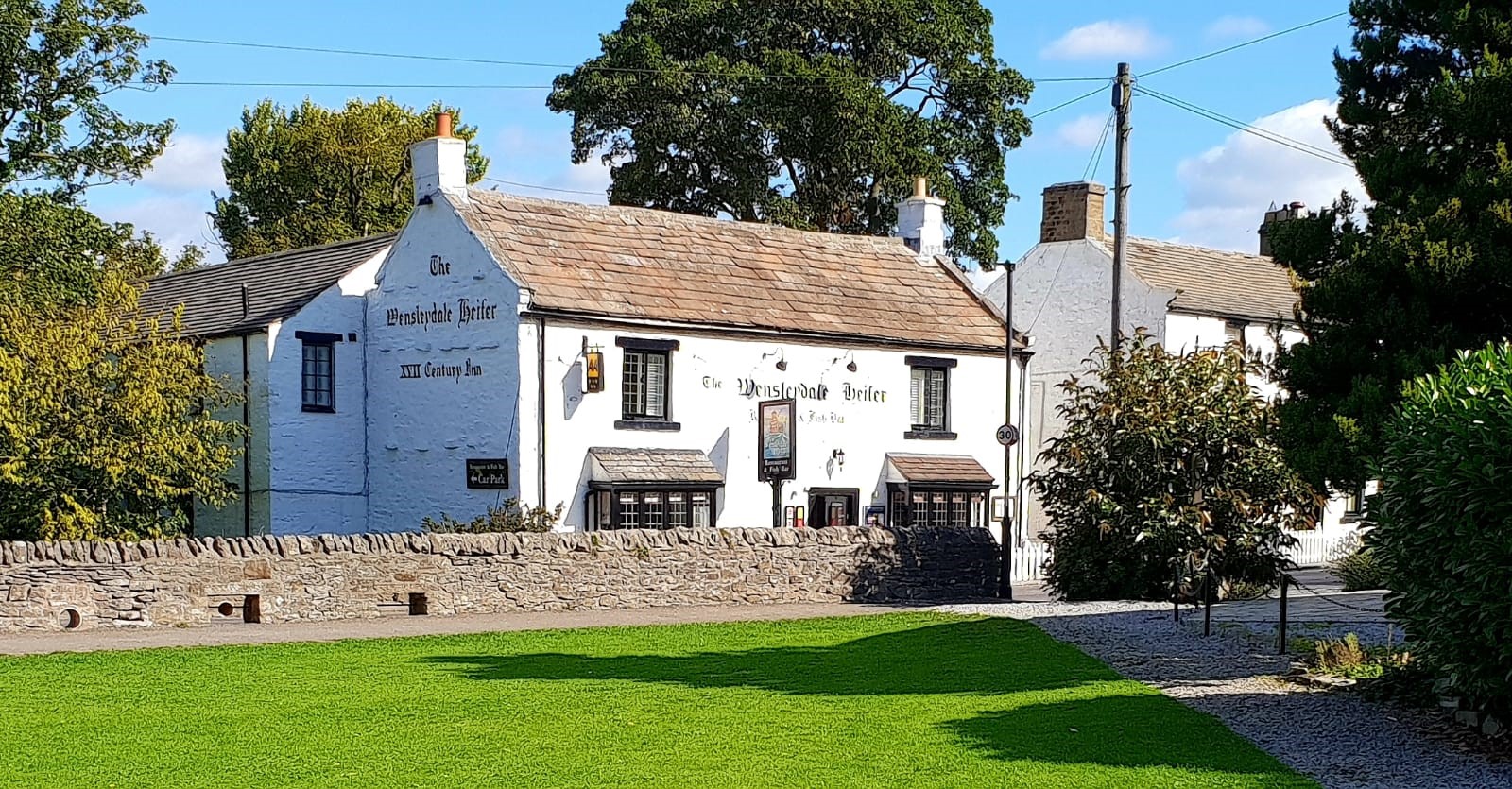
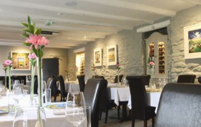
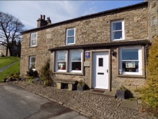
Green View Cottage
Overlooking the village green in the heart of the Yorkshire Dales, Green View Cottage is ideally…

Discover the tall tales which surround Yorkshire's biggest natural lake.
Semer Water
5 miles (8kms)
Semerwater was formed as the result of the end of the last Ice Age. Glacial meltwater attempted to drain away down the valley the glacier had gouged out of the limestone, but was prevented from doing so by a wall of boulder clay, dumped by the glacier itself, across the valley's end. So the water built up, forming a lake which once stretched 3 miles (4.8km) up Raydale. Natural silting has gradually filled the upper part of the lake bed, leaving Semerwater – at 0.5 miles (800m) long North Yorkshire's largest natural lake.
Semerwater boasts several legends. One concerns the three huge blocks of limestone deposited by the departing glacier at the water's edge at the north end of the lake. Called the Carlow Stone and the Mermaid Stones, they are said to have landed here when the Devil and a giant who lived on Addlebrough, the prominent hill a mile (1.6km) to the east, began lobbing missiles at each other.
More famous is the story of the beggar who came to the town that once stood where the lake is now. He went from door to door, asking for food and drink, but was refused by everyone – except the poorest couple. Revealing himself as an angel, he raised his staff over the town, crying 'Semer Water rise, Semer Water sink, And swallow all save this little house, That gave me meat and drink.' The waters overwhelmed the town, leaving the poor people's cottage on the brink of the new lake. Some say the church bells can still be heard ringing beneath the waters.
There are indeed the remains of a settlement beneath Semerwater. Houses perched on stilts were built along the water's edge in Iron Age times, though there may have been an earlier settlement here in neolithic times, too, for flint arrow heads have been found. A Bronze Age spear head was found in 1937 when the lake's waters were lowered.Setts and Quakers Marsett, at the lake's southern end, and Countersett, to the north, both end with the Old Norse word denoting a place of hill pasture.
Marsett is a hamlet of old farmhouses, and on the road to Countersett, at Carr End, is the house where Dr Fothergill was born in 1712. A famous Quaker philanthropist, he founded the Quaker school at Ackworth in South Yorkshire. The American statesman Benjamin Franklin said he found it hard to believe that any better man than Fothergill had ever lived. Countersett has one of several old Friends' Meeting Houses in Wensleydale, and the hall was home, in the 17th century, to Richard Robinson, who was responsible for the spread of Quakerism in the Dales.
Turn right from the car park up the road. Opposite Low Blean farm go right over a ladder stile, signed 'Stalling Busk'. Cross another two stiles and continue towards a barn. Pass through a stile right of it to find a clearer path. Follow this, leaving the lake behind. Continue past an information board and then skirt above an old graveyard to a gate and signpost just beyond.
Follow the Marsett sign into the field corner and cross a gated stile. Follow the level path through more stiles, then across a larger field, keeping just above a steeper slope. Pass right of a barn among trees, then cross a stream bed.
Bear right immediately on a narrow path, descending gently above a roofless barn to a stile. Continue over another stile to a stile at the corner of another barn, then turn right immediately across a level meadow, with a wall on your right. Cross the wall at a gate, then follow the path to a gated footbridge. Cross and go straight ahead to another footbridge beside a ford.
Continue along the obvious track through a gate, meeting another river. Approaching Marsett, bear right across a green, following the stream, to a red telephone box. Turn right over the bridge. In 100yds (91m) beyond, take a track signed 'Burtersett and Hawes' (not the path by the river).
Walk uphill to a gate on the right where the wire fence ends. Cross the stile and climb beside the wall up a faint but direct (and generally steep) path. Go over a stile and through a gate in a crossing fence. Reaching a ladder stile with an Access Land symbol, go straight ahead up a final steep slope, then more easily on a green path to a crossing track just below the final crest.
Turn right along the track to a gate on the skyline. Continue to a green knoll with views to the west. Descend to a gate, then follow the track more steeply downhill, winding below crags then slanting down the slope on a grooved track. Follow the track through three gates as it bends right and back left to reach a road.
Turn right and follow the road downhill to a staggered crossroads on the edge of Countersett. Turn right, then left, signed 'Stalling Busk'. Descend the lane over the bridge and back to the car park.
Field paths and tracks, very steep ascent from Marsett, 18 stiles
Valley, lake and fine views over Wensleydale
Dogs should be on lead
OS Explorer OL30 Yorkshire Dales - Northern & Central Areas
Car park at the north end of the lake: fee payable at Low Blean Farm nearby
None on route
Read our tips to look after yourself and the environment when following this walk.
North Yorkshire, with its two National Parks and two designated Areas of Outstanding Natural Beauty, is England’s largest county and one of the most rural. This is prime walking country, from the heather-clad heights of the North York Moors to the limestone country that is so typical of the Yorkshire Dales – a place of contrasts and discoveries, of history and legend.
The coastline offers its own treasures, from the fishing villages of Staithes and Robin Hood Bay to Scarborough, one time Regency spa and Victorian bathing resort. In the 1890s, the quaint but bustling town of Whitby provided inspiration for Bram Stoker, who set much of his novel, Dracula, in the town. Wizarding enthusiasts head to the village of Goathland, which is the setting for the Hogwarts Express stop at Hogsmeade station in the Harry Potter films.
York is a city of immense historical significance. It was capital of the British province under the Romans in AD 71, a Viking settlement in the 10th century, and in the Middle Ages its prosperity depended on the wool trade. Its city walls date from the 14th century and are among the finest in Europe. However, the gothic Minster, built between 1220 and 1470, is York’s crowning glory.
Discover more than 15,000 professionally rated places to stay, eat and visit from across the UK and Ireland.
Choose a place to stay safe in the knowledge that it has been expertly assessed by trained assessors.
Search by location or the type of place you're visiting to find your next ideal holiday experience.
Read our articles, city guides and recommended things to do for inspiration. We're here to help you explore the UK.