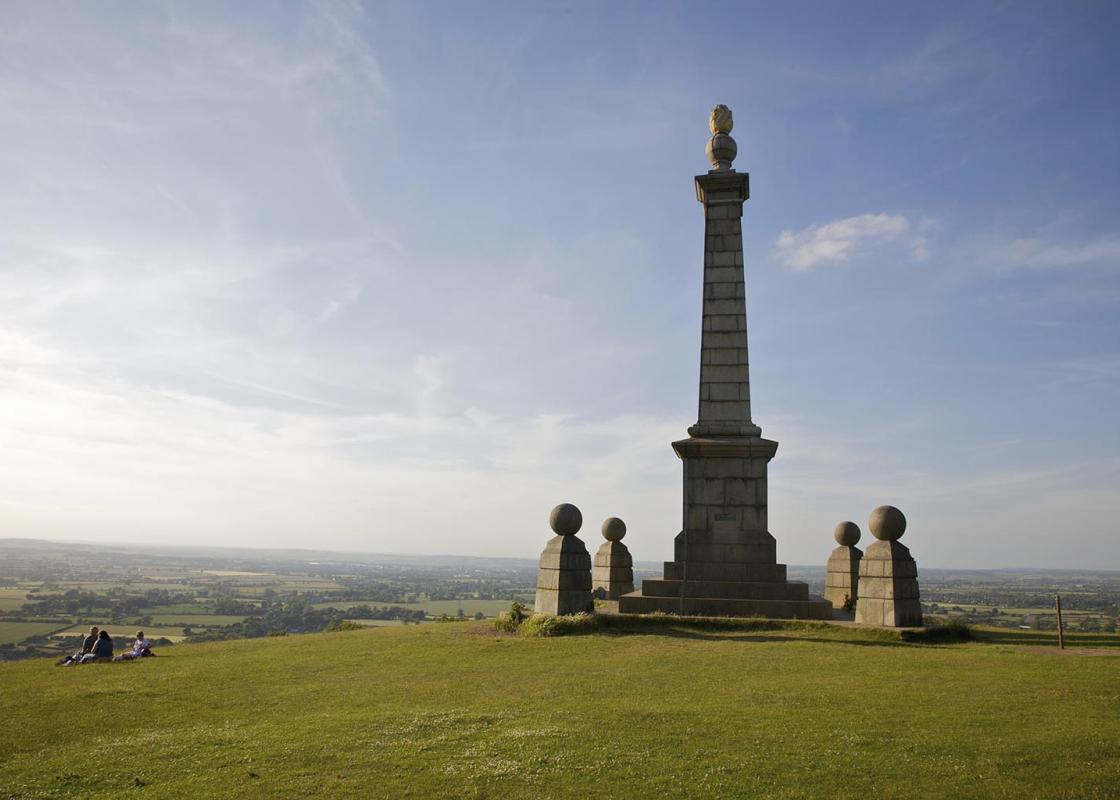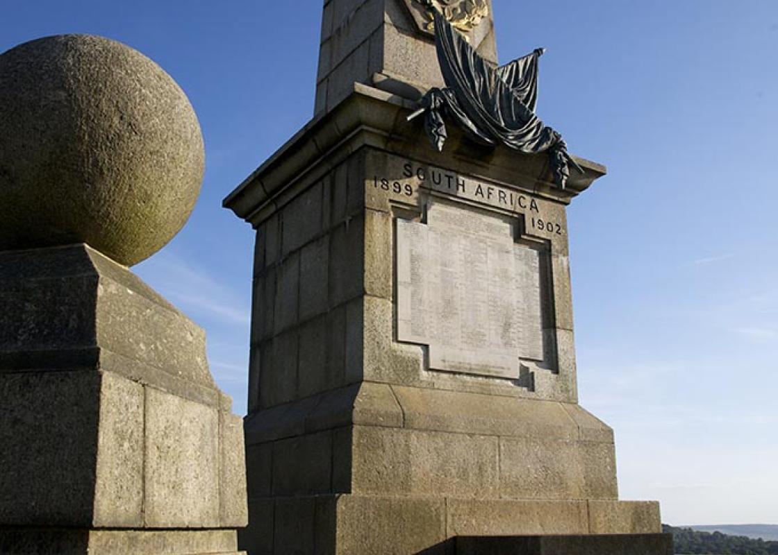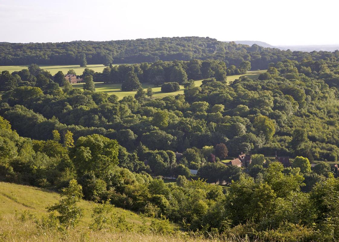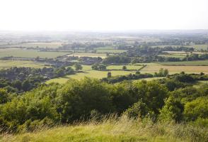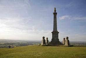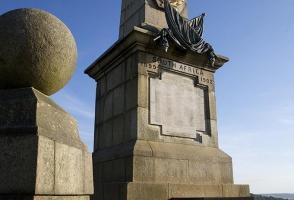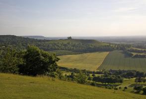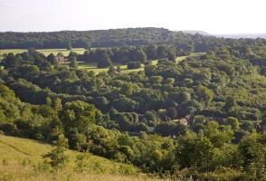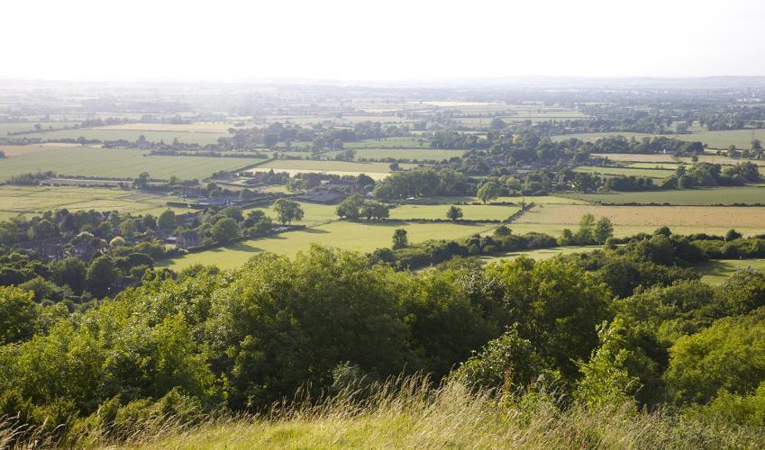
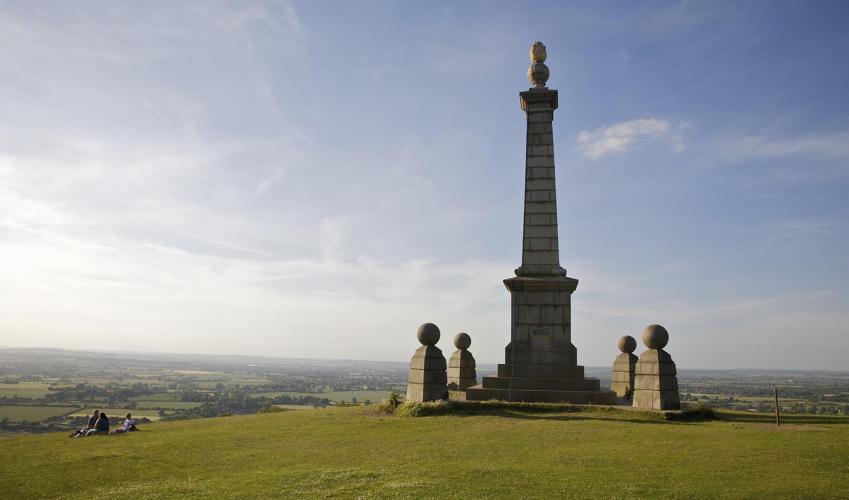
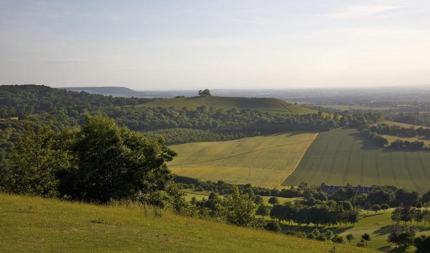
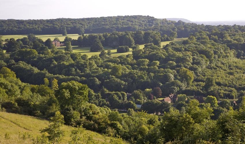
Up Coombe Hill
Turn right out of the High Street car park to visit the tourist office, housed in the distinctive Clock Tower, which was built as a small market hall in 1842. Pick up a town trail map here. Cross (with care) the Aylesbury Road diagonally to walk up Back Street, parallel to the High Street. Once part of the ancient Icknield Way, Back Street is still lined with old traders' cottages dating from the 16th, 17th and 18th centuries. At Dobbins Lane turn left, then right back onto the High Street, and pass the railway station. Cross the road, and once you are over the bridge, look for a waymarked footpath left.
Go over two stiles, towards pylons. Head diagonally right across the field to go over another stile. Turn right uphill along the lane. After about 90yds (82m) turn left, following the bridleway beside a modern house, and go along the track as it swings round to the right, passing a stile (marked private). Go to the end of the field and turn right through a metal gate.

Been on this walk?
Send us photos or a comment about this route. Or recommend a route of your own.

Walking in Safety
Read our tips to look after yourself and the environment when following this walk.

Get an AA guide
Explore our range of ‘50 Walks in’ guides - they’re the ideal companion for a ramble.
Been on this walk?
Send us photos or a comment about this route. Or recommend a route of your own.
Walking in Safety
Read our tips to look after yourself and the environment when following this walk.
Get an AA guide
Explore our range of ‘50 Walks in’ guides - they’re the ideal companion for a ramble.
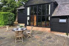
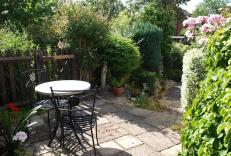
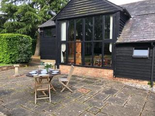
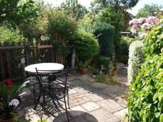
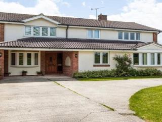
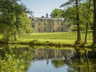
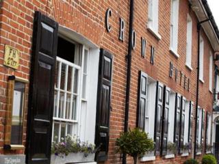
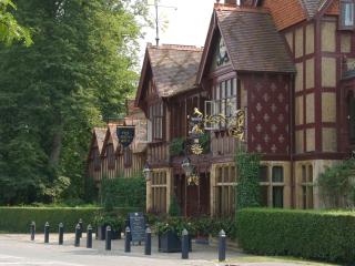
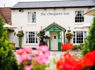
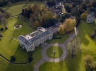
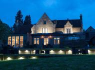
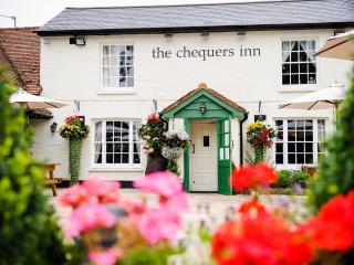
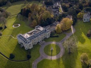
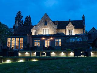
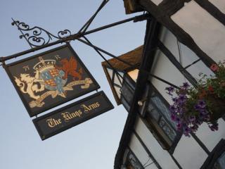
Nearby places to stay
View all (8)