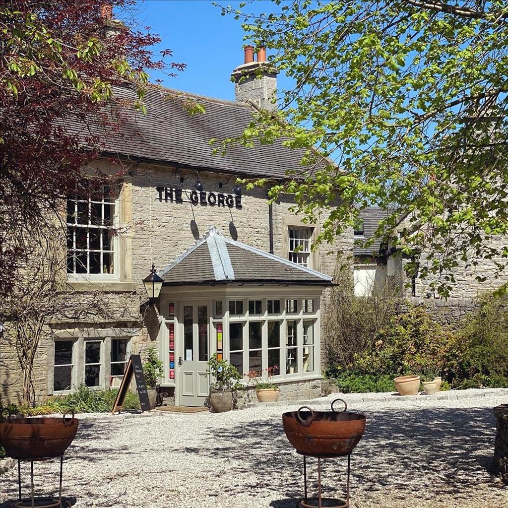
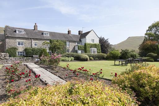


Tom's Barn and Douglas's Barn
Tom's and Douglas's Barns are romantic self-catering cottages situated on the edge of the pretty…

Explore a remote and enigmatic hilltop site, crowned by an ancient burial chamber.
Minninglow
3 miles (4.8kms)
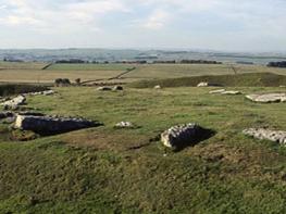
The high and largely bare limestone landscape that ripples across much of the middle south White Peak is punctuated by a series of small, wooded crests. Of these, one of the most prominent is Minninglow, its 1,220ft (372m) hilltop topped by a spindly clump of beech trees that is visible for miles around.
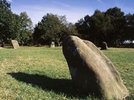
It’s not just a splendid viewpoint, however. The name ‘low’ is quite common in the Peak District and usually means a rounded hill, often one containing a burial mound. Here on Minninglow you can inspect the remains of a neolithic chambered cairn, now surrounded by a narrow strip of young trees that encircle the hilltop. Built some point between 4500 and 2000 BC, the burial mound once contained four separate chambers, but the site has been disturbed over the years and what was once probably one long cairn has ended up as a general pile. Excavations in the 19th century revealed some ancient human bones, but who was once buried there will remain a mystery. Was it the final resting place for members of a local farming community or perhaps a local chieftain?
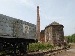
The walk approaches Minninglow along the High Peak Trail, a former railway line that from its junction with the Ashbourne–Buxton line at Parsley Hay headed east to link with the Cromford Canal in the Derwent Valley. The car park at the start was a former goods yard, and after crossing a massive embankment – a feat of Victorian engineering in itself – the firm and easy trail reaches an old trackside quarry below Minninglow Hill. This was one of a number of limestone quarries that developed next to the line, which of course was the ideal way of transporting this valuable building commodity out of the Peak District. Today, a long-abandoned wagon sits rather forlornly by the rock face, some sleepers and even a few lengths of old rail peeping through the grass at its foot. If you look closely at the walls of the cutting you can even make out grooves drilled in the rock for the explosives.
From a neolithic burial site to a Victorian railway, this walk is a reminder that human activity has fashioned the landscape you’re walking through over not just hundreds but thousands of years.
Leave the car park on the trail heading eastwards, across the lane, signed ‘Middleton Top and High Peak Junction’. Go across a long and open embankment above the fields. Follow the trail as it swings right, and beyond a small cutting reach a redundant trackside quarry.
Just after the quarry, and before another high embankment, take the path on the left signed ‘Concession route to Minninglow’. Go through the gate and directly up the slope through further fields and gates to reach the tree-lined hilltop, encircled by young trees and a wall.
Leave the hilltop by a gate on the opposite side from where you entered. Go out into the open field and veer right, down the gentle slope. Aim for the gateway in the wall below, beyond which is a small bridge on the trail two fields away. Go through the gateway and straight down the next field to the gate at the bottom.
Go through the gate and turn right onto a broad, unmade, walled lane. At the gated junction with the High Peak Trail go straight across, signed as a cycle route to Biggin, and down a long straight track into the valley. Go through a gate and follow the track left, past an old quarry and pools, then up a slope to reach a turning for a farm.
Go straight ahead along the firm farm track, to reach a junction with a metalled lane coming up from Roystone Grange. Join this and continue in the same direction until you reach the lane at the far end.
Turn right and follow the tree-lined lane as far as the trail. Turn right just before the bridge to reach the car park entrance.
Hard gravel tracks and pathless pasture
Open, softly undulating limestone plateau
Signs request dogs be kept on lead on trail and concession path to Minninglow
OS Explorer OL24 White Peak
High Peak Trail car park south of Pikehall
None on route
<p>Young children should be supervised on the high, unfenced embankment at the start of the walk</p>
Read our tips to look after yourself and the environment when following this walk.
Discover more than 15,000 professionally rated places to stay, eat and visit from across the UK and Ireland.
Choose a place to stay safe in the knowledge that it has been expertly assessed by trained assessors.
Search by location or the type of place you're visiting to find your next ideal holiday experience.
Read our articles, city guides and recommended things to do for inspiration. We're here to help you explore the UK.