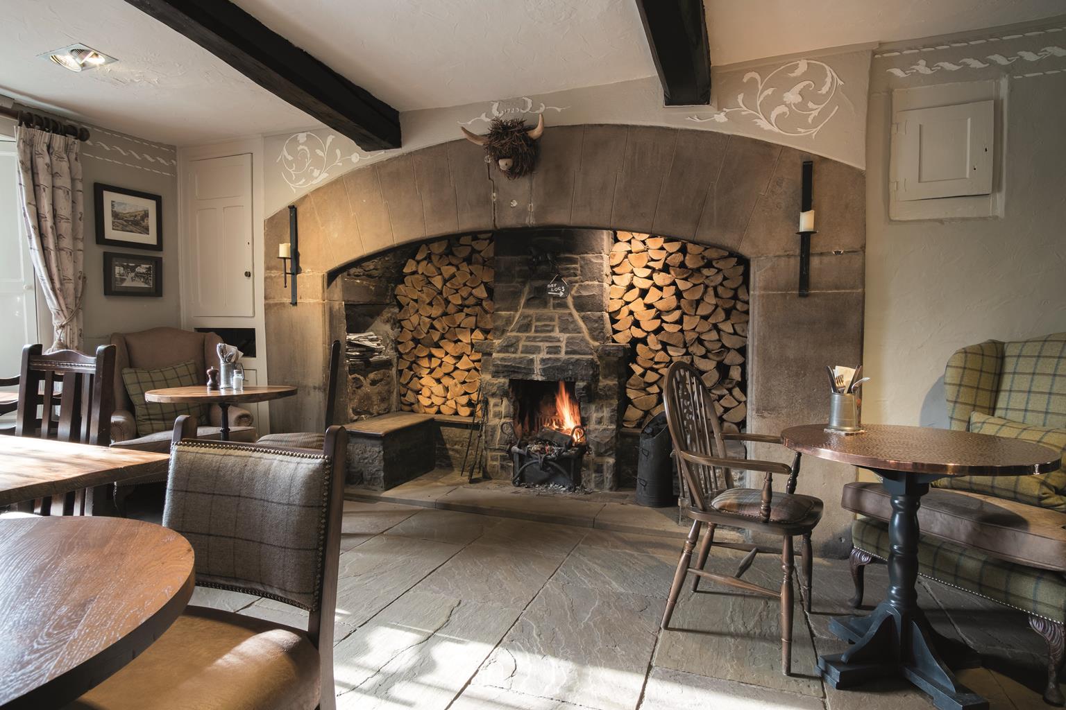
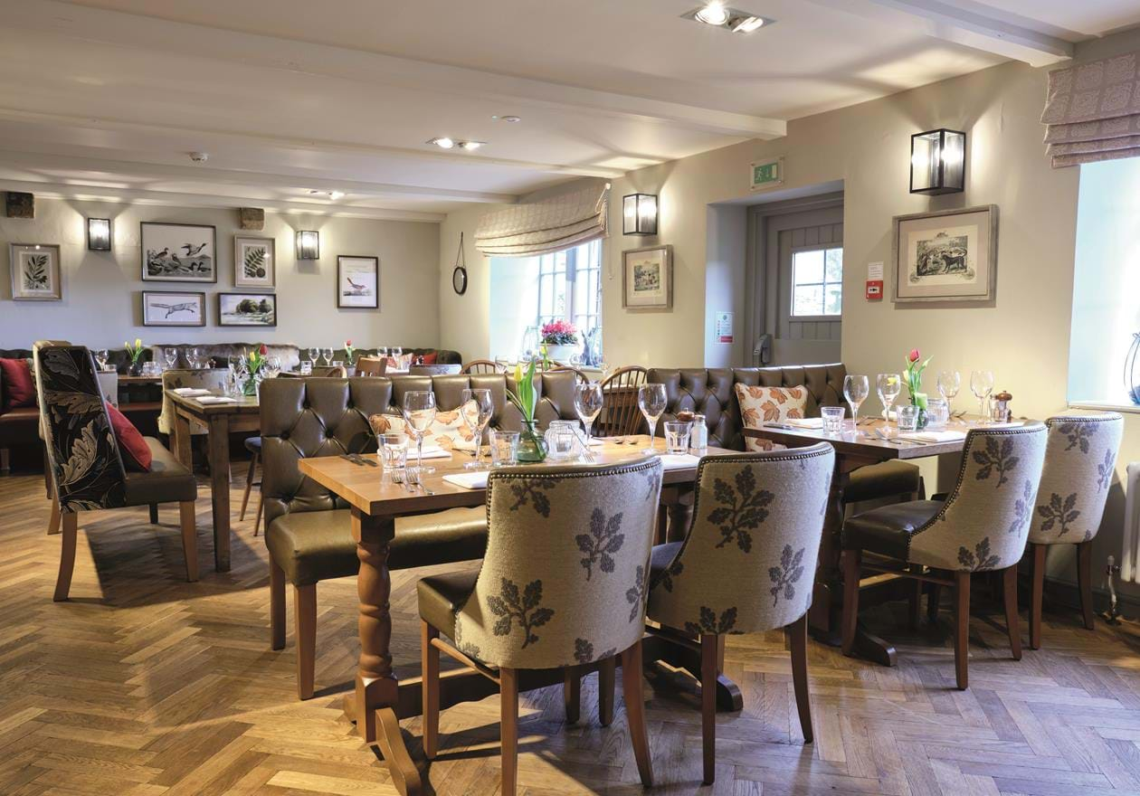

The Golden Lion
Located in the heart of the market town of Settle, this is a traditional coaching inn with an…

Exploring the route to a famous cave, once host to prehistoric bones.
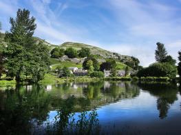
Settle
4 miles (6.4kms)
If Victoria Cave did not exist, this would still be a beautiful walk, and the cave makes it an exceptionally fascinating one. After a steep climb out of Settle, the way stretches more easily across the hillsides, with extensive views of Ribblesdale and Ingleborough. An easy track leads to Attermire Scar and the approach to the cave itself. The path then loops around below the Scar and the jumbled crags of Warrendale Knotts, before descending to rejoin the outward route just above Settle.
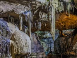
The gaping entrance of Victoria Cave is so obvious, you would think it must have been known for centuries, but in fact it was only discovered in 1837 – by accident. This was the year of Queen Victoria’s coronation, hence the name. (It was also, coincidentally, the same year that Ingleborough Cave was revealed.) The original entrance is a narrow slit high on the left, and the large entrance you see today is artificial, created by enthusiastic Victorian archaeologists. The green platform just outside the cave is made of spoil dumped from these excavations. Much of the cave was choked with mud, but this proved to be a treasure trove of finds, making it one of the most important caves in the UK.
Discoveries included large numbers of animal remains from the last interglacial period, about 130,000 years ago. Among them are bones of lions, elephants, rhinoceroses and hippopotamuses, all suggesting that the environment was very different then. It’s thought that the cave was home to a pack of spotted hyaenas – hyaenas are scavengers, and the other bones were brought in by them. After the last glacial phase, perhaps 10,000 years ago, the cave was occupied by brown bears and subsequently by humans, before being abandoned to the foxes and badgers.
The dangers of rockfall at the cave mouth are self-evident; there are blocks of all sizes scattered around, some of which have clearly only fallen recently. Despite this there have been a number of challenging rock climbs made on the walls above, but the insertion of new protection bolts has now been banned to protect the archaeological site.
Leave the car park and turn right to the market place. Turn left up the side of the square and continue up Constitution Hill, climbing steeply until the lane bends left and levels out. A few paces on, fork right up a stony track; a Pennine Bridleway signpost is hidden from the actual junction but appears within a few paces. Follow the track uphill until it levels out near a roofless barn and a gate.
Go through the gate and continue with a wall on your left, going past a signpost and through a gate into another walled section. Continue, still fairly level, with the wall on your left. Go ahead through a gate and along a fainter green track until the ground ahead falls away, then turn right, uphill. Swing back left to a gate just below a small wood. Continue along the track, now clear again, below the wood and through a gate. Follow a wall below the next wood, to curve to a gate onto a lane.
Turn right up a track, following the Settle Loop sign. Climb past the wood, go through a gate, then continue across pasture with a wall on your right. Go through a crossing gate, then turn right almost immediately.
Go through a kissing gate and along a narrow but clear path, with crags up on the left. In about 300yds (274m) the path forks; go up to the left to a green platform below the entrance to Victoria Cave.
Either double back to the lower path and turn left to continue, or take a steeper path down. Continue along the path, go through a kissing gate, bear right slightly then continue along a level green path. As this descends, becoming stony again, go through a gate half-way down on the right and follow another path down, bearing right below bouldery slopes.
At the bottom turn right along an easier path. Look for a spring among boulders near the junction. Follow the path parallel to a wall, with the crags of Warrendale Knotts up on the right. After a ladder stile the climbing path becomes beautifully green – so good you might think it’s mown regularly. Follow the path past the end of a wall, bearing right and uphill to join another wall.
From a gate the path begins to descend; follow it down the steepening slope, and left through a broken wall to descend to the roofless barn at Point 2. Retrace the opening stage of the walk back into Settle.
Good tracks with some narrower paths; steep, rough climb to the entrance of Victoria Cave
Streets and pastures, green plateau and steep crags
Lead required: beware bikes, horses and sheep
OS Explorer OL2 Yorkshire Dales: South & West or OL41 Forest of Bowland & Ribblesdale
Whitefriars car park, Settle
Whitefriars car park, Settle
<p>An information sign on the approach to Victoria Cave warns of falling rocks, and requires a safety helmet to be worn if you want to go nearer</p>
Read our tips to look after yourself and the environment when following this walk.
Discover more than 15,000 professionally rated places to stay, eat and visit from across the UK and Ireland.
Choose a place to stay safe in the knowledge that it has been expertly assessed by trained assessors.
Search by location or the type of place you're visiting to find your next ideal holiday experience.
Read our articles, city guides and recommended things to do for inspiration. We're here to help you explore the UK.