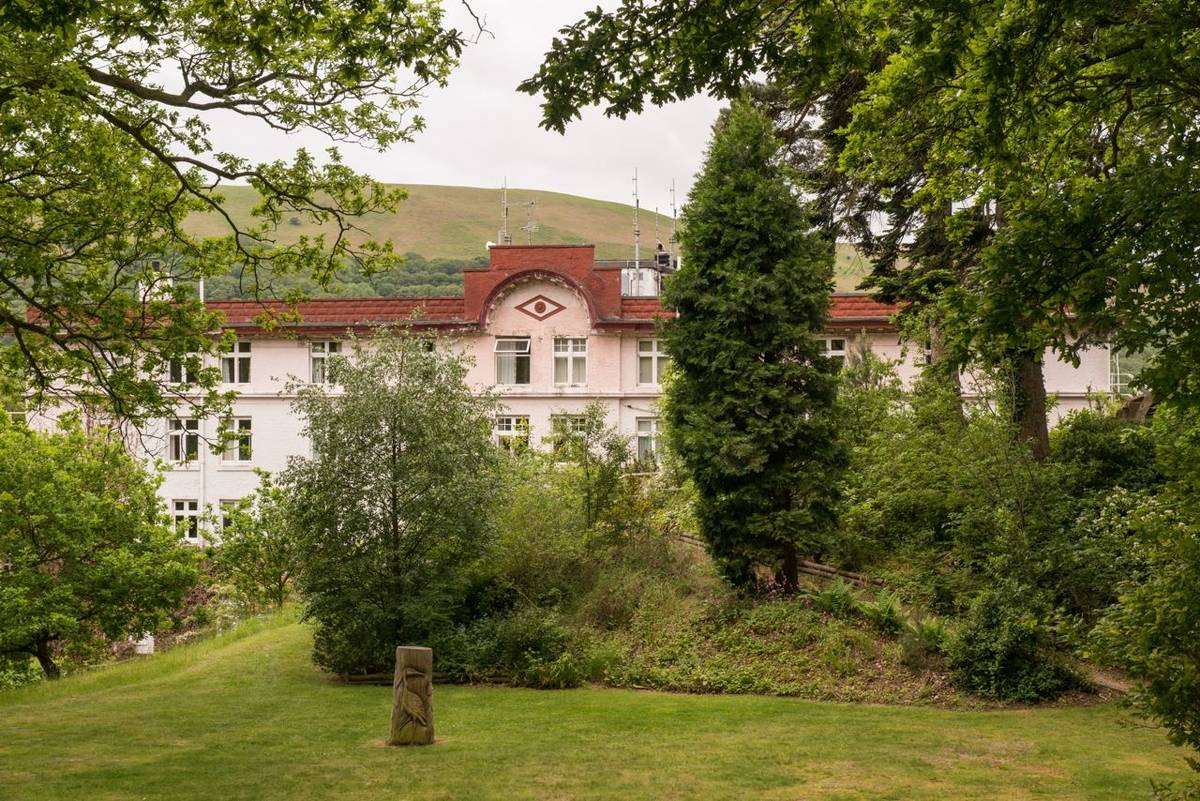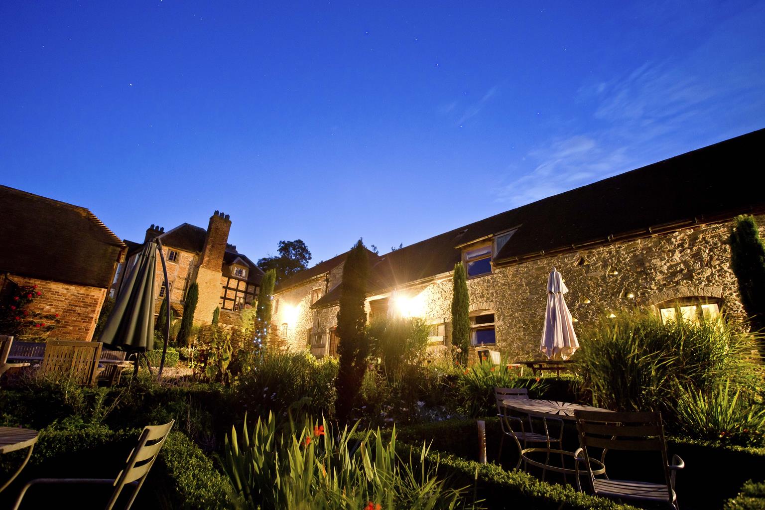

Halford Holiday Homes
Halford Holiday Homes are all within a small area at the edge of the Shropshire Hills AONB.…

Wart Hill
6 miles (9.7kms)
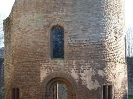
Craven Arms is a young town, though possibly a very old settlement. It owes its present form to the coming of the railways, before which it was little more than a huddle of cottages at the hamlet of Newton, near the Craven Arms Hotel. The Shrewsbury and Hereford railway was built through Craven Arms in the 1840s, followed by the Knighton line to Wales, the Buildwas line to the coalfields and the Bishop's Castle line, making The Arms, as it was known, a major railway junction. The cattle and sheep that had formerly travelled the drove roads now came by train, and other business opportunities were opened up. Local landowner Lord Craven recognised the potential and built a new town. For a while it seemed as though it might mushroom, but it never quite happened. Two of the railway lines have gone, but the Shrewsbury-to-Hereford line is still busy. The Knighton line is now part of the Heart of Wales line and runs through gloriously remote countryside to Swansea.
The line that inspired most affection has long gone. This was the Bishop's Castle line. The plan was for a link from the Shrewsbury and Hereford line to the Oswestry and Newtown (later Cambrian) line near Montgomery, with short branches to Montgomery and Bishop's Castle. Financial problems dogged the railway company, but they went ahead with an official opening in 1865, using a borrowed locomotive and coaches. Regular traffic started the next year, but only from Craven Arms to Bishop's Castle, via a junction at Lydham Heath. The rest of the line was never finished. There was meant to be a double junction at Lydham, but they completed only part of it, and that faced in the wrong direction for trains from Craven Arms. Locomotives had to uncouple at Lydham and run around their carriages to recouple in reverse for the last few miles. Not surprisingly, the railway was never profitable. It is said that it was so slow that people would get off to pick blackberries or mushrooms, then stroll along the line to reboard. The easternmost stretch of the line has now been turned into the Onny Trail, open for public access under the Countryside Stewardship scheme. It makes a delightful walk along the banks of the River Onny. It also forms the return leg of this beautiful walk.
Walk to the lane and turn right. Keep straight on at a junction and pass through Cheney Longville. At the far side of the village, fork left at a sign for Castle Farm. A track climbs through the farm and enters pasture.
Walk along the right edge of the fields. In the next field, go straight on up a slope. The path soon levels out and, after a large oak, a waymarker sends you diagonally down to the bottom right field corner.
Climb a stile into woodland, walk to a T-junction and turn left. Soon fork left on a level track which runs past a pool then continues through plantation, soon swinging left and climbing. Go straight on at a waymarked junction and keep climbing to a lane.
Turn right, then right again after 600yds (549m) at gate and stile. A few paces further on, turn left at a tree-hidden signpost. A steep climb now takes you through woodland to the top of Wart Hill, covered in bracken, gorse and a scattering of pines.
Keep going in the same direction, past the trig point, then begin a steep, mostly waymarked descent. At an unmarked junction go straight downhill to a T-junction and turn left. Follow the level track to a sharp turn back right. At the next junction turn left, downhill, and then zigzagging up again. Waymarks are present but often hidden by summer vegetation.
Meet a lane, turn left, then immediately right on another track into Heath Wood. At the far side of the wood, the track bends right. The track passes a house (Middle Carwood), becoming vague as it climbs a field then clear again at the top left corner. Follow it through more woodland. Turn right at a T-junction near a house.
A brief climb through woods leads to a junction. Turn left on a footpath, descending steeply. Leaving the trees, take a narrow path through bracken to pass to the left of a shed and house, then keep going down, following waymarks. The path hairpins down to meet the Onny Trail.
Turn right, following the old railway. At a break in the embankment keep left, then find a stile in a hedge ahead. Turn right up the narrow track until a gate on the left allows you to return to the railway route.
Generally good, some muddy patches, steep, sometimes slippery descent from Wart Hill, careful route-finding needed, many stiles
Wooded hills, pastureland and varied terrain by River Onny
Mostly permissive paths so keep on lead
OS Explorer 217 The Long Mynd & Wenlock Edge
Car park for Onny Trail, next to railway bridge on unclassified road from A49 to Cheney Longville
None on route
Read our tips to look after yourself and the environment when following this walk.
Perhaps nowhere else in England will you find a county so deeply rural and with so much variety as Shropshire. Choose a clear day, climb to the top of The Wrekin, and look down on that ‘land of lost content’ so wistfully evoked by A E Housman. Peer through your binoculars and trace the course of Britain’s longest river as the Severn sweeps through the county, from the Breidden Hills to Wyre Forest, slicing Shropshire in two. To the north is a patchwork of dairy fields, hedgerows, copses and crops, broken at intervals by rugged sandstone ridges such as Grinshill or Nesscliffe, and dissected by a complex network of canals.
Spilling over the border into neighbouring Cheshire and North Wales is the unique meres and mosses country, with serenely smooth lakes glinting silver, interspersed with russet-tinged expanses of alder-fringed peat bog, where only the cry of the curlew disturbs the silence. South of the Severn lies the Shropshire Hills AONB. It’s only when you walk Wenlock Edge that you fully discover what a magical place it is – glorious woods and unexpectedly steep slopes plunge to innumerable secret valleys, meadows, streams and farmhouses, all tucked away, invisible from the outside world.
Discover more than 15,000 professionally rated places to stay, eat and visit from across the UK and Ireland.
Choose a place to stay safe in the knowledge that it has been expertly assessed by trained assessors.
Search by location or the type of place you're visiting to find your next ideal holiday experience.
Read our articles, city guides and recommended things to do for inspiration. We're here to help you explore the UK.