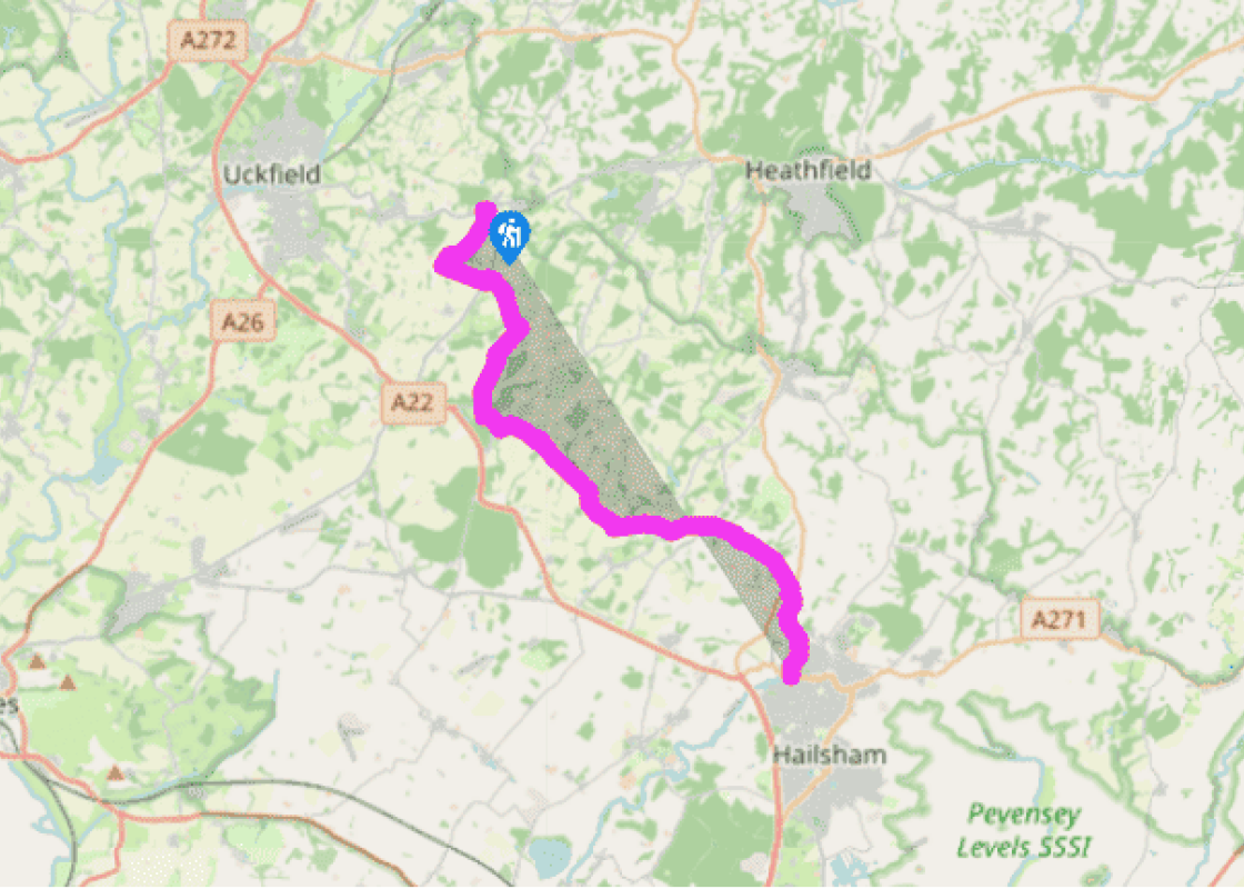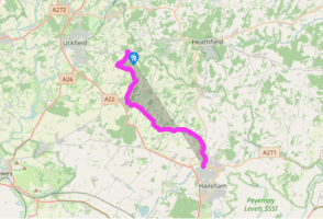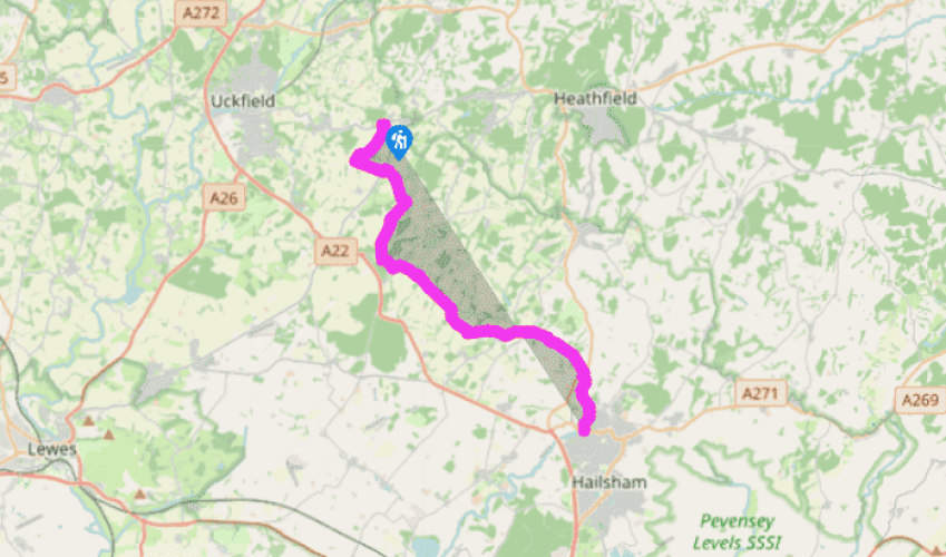
Wealdway: Blackboys to Horsebridge
The Wealdway uses the B2102 road for a few yards only before cutting through to the next lane. From the start of the path at grid ref. TQ516204, the South Downs come into view for the first time since the Wealdway descended the southern slopes of Ashdown Forest. The route soon passes through the elaborately landscaped area surrounding Newplace. Here, in sharp contrast to Tickerage, the track is open and unfenced and there are no unfriendly notices. From a large pond, a stream drops down a
series of artificial cascades. It is a delightful sight, particularly in the spring when the surrounding area is a mass of daffodils.
The next 3 miles (5km) to East Hoathly are well way marked and present few problems apart from the possibility of obstruction by growing crops. Access to the footbridge in a wooded dip at grid ref. TQ 523 183 is not obvious and, in the field beyond, the Wealdway makes a curious dog-leg turn beside a solitary tree before climbing across a large field. This was once part of Great Wood but it was clear-felled a few years ago, except for the very top. Cross two unwaymarked stiles to enter a wood near an electricity pylon.

Been on this walk?
Send us photos or a comment about this route. Or recommend a route of your own.

Walking in Safety
Read our tips to look after yourself and the environment when following this walk.

Get an AA guide
Explore our range of ‘50 Walks in’ guides - they’re the ideal companion for a ramble.
Been on this walk?
Send us photos or a comment about this route. Or recommend a route of your own.
Walking in Safety
Read our tips to look after yourself and the environment when following this walk.
Get an AA guide
Explore our range of ‘50 Walks in’ guides - they’re the ideal companion for a ramble.
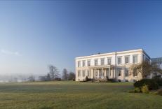
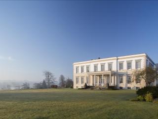
Nearby places to stay
View all (8)