

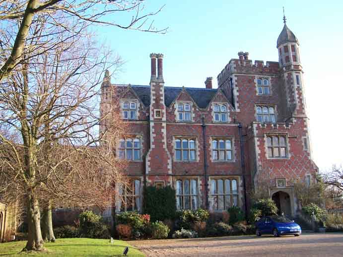


Warren Wood Country Park
Situated in the heart of the East Sussex Countryside, we offer luxury woodland or lake side self…

Wilmington
12.3 miles (20kms)
The Wealdway courses through three AONBs to connect the Thames Estuary with the English Channel, through the Weald of Kent and Sussex. It links the North Downs Way National Trail at Trottiscliffe with the South Downs Way National Trail, near to Eastbourne. This final section of the long distance footpath involves the climb onto the South Downs from the enchanting village of Wilmington and the triumphal entry into Eastbourne to the Wealdway’s end at the town’s famous pier, which achieved even greater fame when it suffered a terrible fire in 2014.
Start at the car park at the top of the village street. Beyond the ruins of Wilmington Priory, the path to the Long Man starts opposite the entrance to the car park.
The Benedictine Priory at Wilmington was founded in the 11th century as a possession of the abbey of Grestain in Normandy. It was seized by the Crown during the wars with France and came into the hands of the Dean and Chapter of Chichester. After a period as vicarage and farmhouse, it was
given to the Sussex Archaeological Trust in 1926.
The Long Man of Wilmington, standing 226ft (69m) high, is the largest hill figure in the country but very little is known of his origins. It is possible that he is a representation of Balder, the Norse god of spring. In 1874, the outline of the figure was carefully lined in white bricks and he is now, like the priory, in the good care of the Sussex Archaeological Trust.
From the foot of the Long Man, the Wealdway follows a fine, terraced path along the side of the Downs escarpment, high enough above the Weald to command a panoramic view, with the waters of Arlington reservoir clearly visible. After a mile (1.6km), you will reach Folkington, home of yet another tiny
church, surrounded by trees, tucked under the Downs at the end of a quiet cul-de-sac.
A clear track, once an old coach road, follows an undulating route, still hugging the downland foothills, for another 1.5 miles (2.4km) to Jevington.
The Wealdway follows the lane into the village as far as The Eight Bells pub, but, if time permits, it is well worth extending the walk to visit interesting Jevington Church. Carry on along the lane and, very shortly, fork right on a narrow footpath, entering the churchyard through an interesting tapsell
gate. The church, with its rare Saxon tower, luxuriates in another idyllic downland setting.
The Wealdway continues up a flight of steps opposite The Eight Bells and climbs steadily along a ridge to reach the summit of Combe Hill, at 630ft (192m), where the low banks indicate the site of a Neolithic camp, dating from about 2,500BC. The concentric banks, laid out with ditches in between, indicate that this was a ‘causewayed camp’. It is one of only four in the country, all of which are in Sussex.
For the next 2 miles (3.2km), the Wealdway follows an exhilarating high-level route, with views across the Weald, back over Jevington to the woods of Friston Forest and, to the left across the built up areas of Polegate, Willingdon and Eastbourne. Beyond Combe Hill a clear track sweeps round to the right, past the car parking area at Butts Brow and up on to Willingdon Hill (659ft/201m).
By an ancient-looking fragment of stone bearing the legend ‘Old Town Eastbourne’ near the summit (grid ref. TQ576009), the Wealdway bears left and continues with the scrub-covered slopes dropping away left. Continue on this path, shared with the South Downs Way, to the A259.
Cross the A259 with care and go straight ahead on the track for 300yd (274m). If you’re pressed for time you can take a shortcut into Eastbourne here by going left (east) downhill to the outskirts of the town at Paradise Drive. Otherwise, continue ahead (south), crossing the B2103 and head southeast for 600yd (549m) before bearing left (at grid ref. TV 593 968) to descend to a seasonal café on the B2103.
Continue ahead along this road – which is initially called Duke’s Drive but becomes King Edward’s Parade and finally Grand Parade – soon dropping down right onto a parallel path for 1.5 miles (2.4km) to the pier and journey’s end.
Grassy and chalky paths, tracks, road
Magnificent rolling downland, villages, copses, Eastbourne
On lead when near sheep and on final stretch of road, which can be busy
OS Explorer 123
Car park (free) at start
Next to the Wish Tower at Eastbourne
Read our tips to look after yourself and the environment when following this walk.
Discover more than 15,000 professionally rated places to stay, eat and visit from across the UK and Ireland.
Choose a place to stay safe in the knowledge that it has been expertly assessed by trained assessors.
Search by location or the type of place you're visiting to find your next ideal holiday experience.
Read our articles, city guides and recommended things to do for inspiration. We're here to help you explore the UK.


