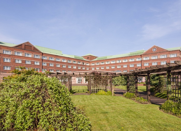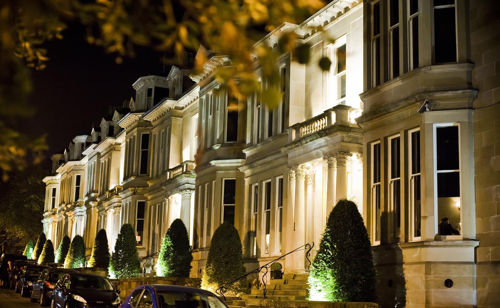
One Devonshire Gardens by Hotel du Vin
One Devonshire Gardens by Hotel du Vin is situated in a tree-lined Victorian terrace this luxury…

Along Glasgow workingmen's paths to the Highlands
Milngavie
11.8 miles (18.9kms)
The West Highland Way takes the walker from the northern suburbs of Glasgow through some of the most splendid loch and mountain scenery in Scotland to its finish in Fort William. Along the way you walk much of the eastern shore of Loch Lomond, and cross the western fringe of Rannoch Moor to the head of Glen Coe. The route uses ancient military roads, drove routes and lochside paths in its varied progress. The scenery grows steadily more splendid and wild as you make your way northwards, until the final crescendo delivers you through the magnificence of Glen Coe and the Mamores to the foot of Ben Nevis.
Milngavie is associated with the great outdoor movement of the depression years in the 1930s, when hundreds of unemployed men journeyed into the countryside to find solace in walking and climbing.
A word about the name: it traps the unwary, for the pronunciation is ‘mull-guy’, and indeed it appears on some old maps as Milguy. Its origin may be the Gaelic muileann-gaoithe, ‘a windmill’. You will come across many names with Gaelic origins on this walk, and even the briefest study of them will yield a harvest of understanding which will add to your appreciation of the land and its history.
From here to Loch Lomondside the route passes through the ancient lands of Lennox. The Earldom of Lennox was created by King Malcolm IV in 1153, and by the late 14th century the lands of Lennox extended to the north end of Loch Lomond. Most of the area is set on the Clyde plateau lavas, laid down 350 million years ago during the Carboniferous period. The black volcanic rocks are seen here and there in Mugdock Woods or the bed of Allender Water. They form flat-topped, stepped hills such as the Campsie Fells that rise above Strathblane. At their western end, the stubby hill Dumgoyne is the remnant of one of the volcanic shafts where the lava flowed out. Dumgoyne dominates this part of the walk and is itself a splendid viewpoint and a steep but easy climb.
From Milngavie's Main Street, where you will find shops, banks and cafés, follow waymarks down to the Allander Water and along to an attractive tree-lined lane, on the line of a former railway serving one of the long-defunct mills in the area. The Allander Water is rejoined for 0.25 miles (400m) or so before a right turn, uphill, takes you on to the birch and gorse moorland of Allander Park.
The walk continues along the former drive of Craigallian House into Mugdock Wood, with a variety of trees, and many lovely wild flowers in spring and summer. Mugdock was gifted to the people of Glasgow in 1980 by Sir Hugh Fraser, and is now run by the local authorities as one of the 40 country parks in Scotland, providing many thousands of people with an invaluable recreational lung. Allender Water is nearby on the left as you pass through the wood.
At the end of Mugdock Wood the West Highland Way turns left along a lane for a few steps, then follows a track beside the Allander Water to Craigallian Loch, which has been a favourite weekending place for generations of Glaswegians.
At B821 turn left for 0.25 miles (400m) to a path on the right. At a gate this crosses the low watershed dividing the Glasgow basin from the Loch Lomond lands. This is a fine viewpoint, with Ben Lomond prominent, urging you forward. The path bends round to the right behind the wooded hump of Dumgoyach, the plug of a former volcano – a smaller twin to Dumgoyne, now rising ahead to right of the valley.
At the valley floor, turn left along the old railway line through Strathblane. The route follows this for several miles, passing Dumgoyne (and its distillery, which can be visited). As you walk the old railway, Glasgow’s water is flowing under your feet, along a 60-inch pipe from Loch Lomond to the city.
The Way passes within a mile (1.6km) of Killearn and finally leaves the former railway for a lane on the left.
The quiet lane crosses River Endrick (a fine salmon stream, where herons are commonly seen) near Gartness. Soon after this, ignore a cycle path (and the John Muir Way) forking off left for Balloch: the WH Way keeps ahead along the lane. It climbs, with more fine views, to approach Drymen (pronounced 'Drimmen'). Where the lane dips to cross a stream, the WH Way turns off down steps to bypass Drymen across a field to its east. But for the village itself, just keep ahead along the quiet lane.
Clear, wide paths, minor road, no stiles
Gentle Lowland countryside of woods and rivers
On lead or under close control if passing livestock
OS Explorer 347 Loch Lomond South, 348 Campsie Fells
B821 verge; street parking in Drymen
None on route
<p>Milngavie has frequent buses and trains from Glasgow. Drymen has buses to Glasgow.</p>
Read our tips to look after yourself and the environment when following this walk.
Discover more than 15,000 professionally rated places to stay, eat and visit from across the UK and Ireland.
Choose a place to stay safe in the knowledge that it has been expertly assessed by trained assessors.
Search by location or the type of place you're visiting to find your next ideal holiday experience.
Read our articles, city guides and recommended things to do for inspiration. We're here to help you explore the UK.