"Past human activity around Wetton can be traced from valley bottom to high hilltop"
Walk directions
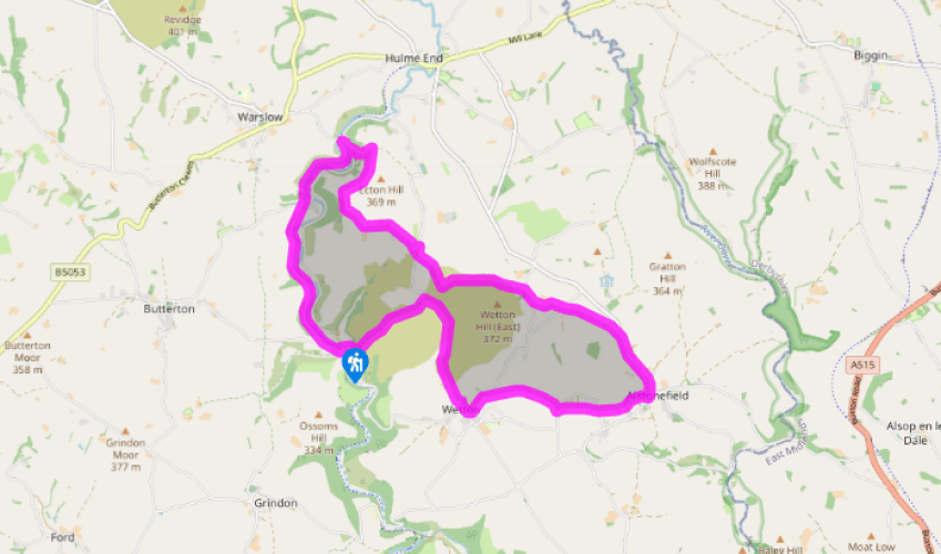
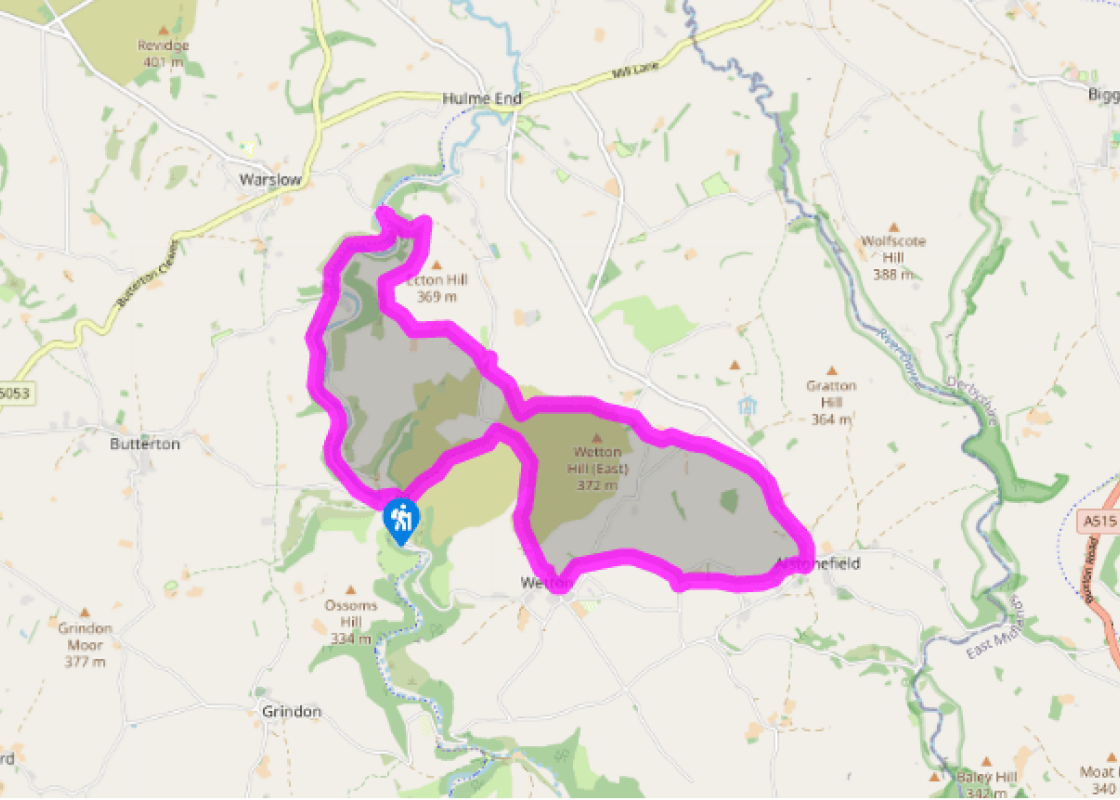
Facing the tearoom take the signposted path to the right, between buildings. Go up the grassy hillside and veer left to drop down and join the wide valley bottom route uphill. At Manor House turn right for the route signposted ‘Wetton’ over a stream and up around Wetton Hill, keeping the wall on your right. Continue ahead through fields to eventually join a lane into Wetton.
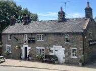
Turn left on to a road and left again opposite the pub. At the second turning on the right take the footpath diagonally right down through fields. In the far corner go over a wall stile and head right on a walled track. Turn right into a lane, then left for a path across successive fields. Go over a lane and continue uphill to reach Alstonefield via the playing fields.
At the road turn left along the pavement and out of the village. Just past the Alstonefield sign go left on a footpath that heads diagonally right through fields (aim to the right of the large hill ahead). Cross a lane and continue to the left of Gateham Farm, then go right along the lane to the first bend.
Turn left through the squeeze stile and head half right across the field. The route continues all the way around the lower slopes of the hill until you reach a solitary signpost by a path junction. Turn right to drop down and cross a footbridge, beyond which you head up through a field and copse to reach a lane.
Turn left and follow the lane steeply round a hairpin and all the way to Broad Ecton Farm. Here go left, up a field close to the wall, switching sides beyond a gate. At the very top go right, through a gate, and across a field to the corner of a wall. Turn left to reach a gate on the far side.
Follow a narrow path around the high and open hillside to the right. Keep to the upper route to reach a crescent of fir trees by an old mine entrance and a former lime kiln beyond. Turn left and zig zag steeply down the grassy slope to a stile partly hidden by gorse bushes at the bottom. Turn right and walk past an odd, green-spired building and down its drive.
At the road at the bottom turn right, immediately left and left again to join the Manifold Way. When you meet a lane go through the short tunnel ahead and continue along this to reach the start.
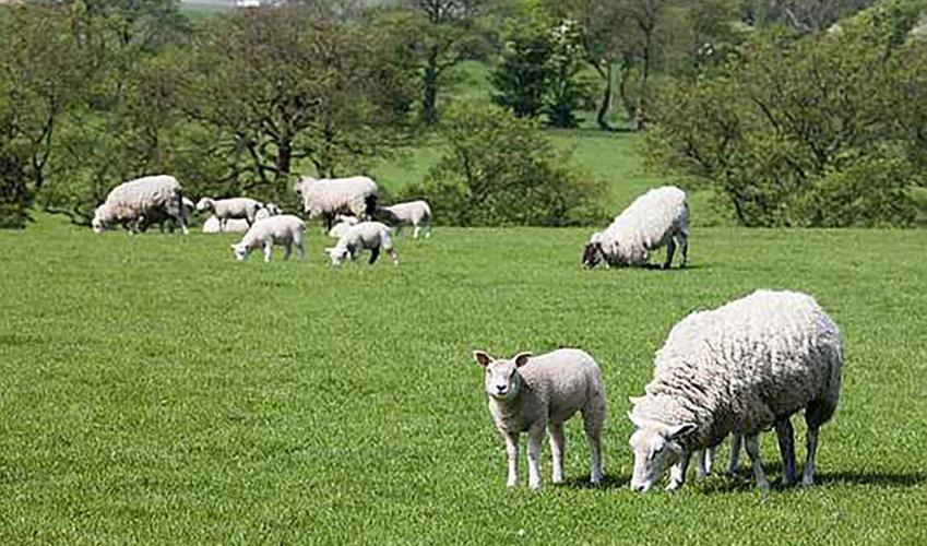
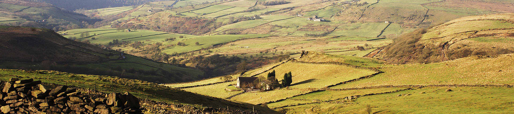
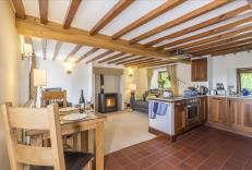
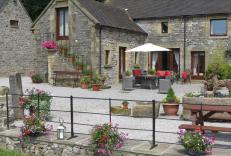
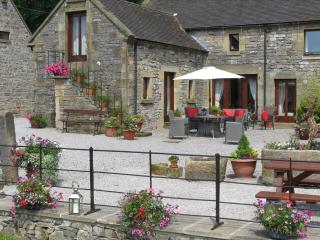
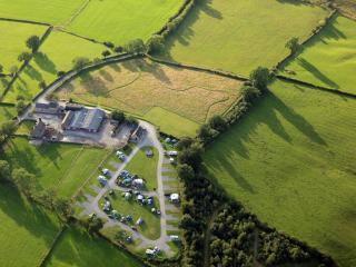
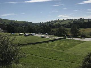
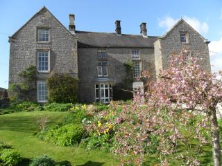
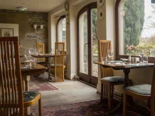
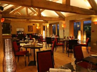
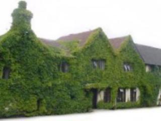
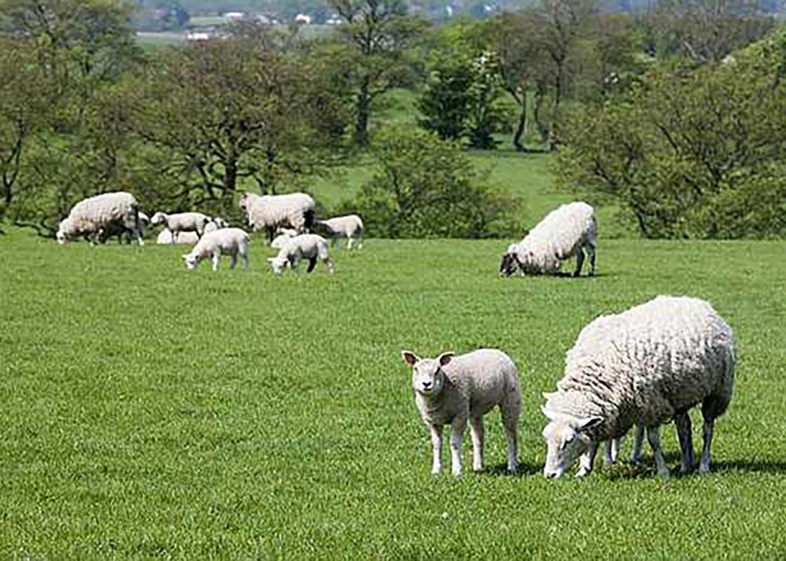
Wetton is an out-of-the way and unspoilt White Peak village, popular with walkers, that sits on the upper eastern edge of the Manifold Valley. Its steep sides are characterised by crags and caves, the latter providing evidence of the very earliest human occupation. But the huge rounded hills that... loom above the village also hold clues to the past and in particular how people buried their dead many thousands of years ago. On the way to Wetton village the walk skirts Wetton Hill, its smooth grassy slopes rising to 1,174ft (358m) and providing a great viewpoint south to Cannock Chase and lowland Staffordshire. Although there’s no set path to the summit it’s all designated Access Land so you can make your own way to the top – if you have the puff! Close to the summit of Wetton Hill, and its equally impressive neighbour to the east that the walk visits later on, are the remains of ancient tumuli. Today, they simply look like small grassy mounds, but around 2,500 years ago they marked the last resting places of what were likely to be tribal elders or chiefs. Mostly they were simple chambered cairns, small stone-sided tombs in effect, usually built on prominent locations like hilltops. Some of these graves contained fragments of pottery and other artefacts, as well as human and animal bones, but virtually all were disturbed by later generations souvenir-hunting or, in the case of several prominent Victorian antiquarians, ‘investigating’ as many sites as they could find by rather crude excavations and hurriedly carrying away their finds. There are other prehistoric hilltop burial chambers dotted around the area, including on Narrowdale Hill and Gratton Hill to the northeast of Wetton and Wetton Low just to the south of the village. The place name ‘low’ comes from the Old English ‘hlaw’ meaning tumulus or mound and is found at other prominent Peak District sites, including Minninglow and Arbor Low. If Wetton Hill and Wetton Low demonstrate high level occupation, Wetton Mill characterises human endeavour down in the valley bottom. It’s believed that milling has taken place here since the 16th century and a corn mill was certainly operational until the 1850s, but now the former grist buildings house National Trust holiday cottages and a popular tea room. It’s a great place to finish a walk, especially on a hot day when the leafy River Manifold provides plenty of shade and the shallow river is ideal for a paddle to cool hot feet.
Staffordshire features lofty moors, deep dales and tremendous views of both. Further south are the six sprawling towns that make up Stoke-on-Trent, which historically have had such an impact on Staffordshire’s fortunes, not to mention its culture and countryside.
"Past human activity around Wetton can be traced from valley bottom to high hilltop"
Walk details
4hrs 30min
Difficulty:
Hard
Gradient:
Challenging
Distance:
8.5 miles (13.7kms)
Ascent:
1771ft (540m)
Walk directions
Facing the tearoom take the signposted path to the right, between buildings. Go up the grassy hillside and veer left to drop down and join the wide valley bottom route uphill. At Manor House turn right for the route signposted ‘Wetton’ over a stream and up around Wetton Hill, keeping the wall on your right. Continue ahead through fields to eventually join a lane into Wetton.
1 of 7
Turn left on to a road and left again opposite the pub. At the second turning on the right take the footpath diagonally right down through fields. In the far corner go over a wall stile and head right on a walled track. Turn right into a lane, then left for a path across successive fields. Go over a lane and continue uphill to reach Alstonefield via the playing fields.
2 of 7
At the road turn left along the pavement and out of the village. Just past the Alstonefield sign go left on a footpath that heads diagonally right through fields (aim to the right of the large hill ahead). Cross a lane and continue to the left of Gateham Farm, then go right along the lane to the first bend.
3 of 7
Turn left through the squeeze stile and head half right across the field. The route continues all the way around the lower slopes of the hill until you reach a solitary signpost by a path junction. Turn right to drop down and cross a footbridge, beyond which you head up through a field and copse to reach a lane.
4 of 7
Turn left and follow the lane steeply round a hairpin and all the way to Broad Ecton Farm. Here go left, up a field close to the wall, switching sides beyond a gate. At the very top go right, through a gate, and across a field to the corner of a wall. Turn left to reach a gate on the far side.
5 of 7
Follow a narrow path around the high and open hillside to the right. Keep to the upper route to reach a crescent of fir trees by an old mine entrance and a former lime kiln beyond. Turn left and zig zag steeply down the grassy slope to a stile partly hidden by gorse bushes at the bottom. Turn right and walk past an odd, green-spired building and down its drive.
6 of 7
At the road at the bottom turn right, immediately left and left again to join the Manifold Way. When you meet a lane go through the short tunnel ahead and continue along this to reach the start.
Wetton is an out-of-the way and unspoilt White Peak village, popular with walkers, that sits on the upper eastern edge of the Manifold Valley. Its steep sides are characterised by crags and caves, the latter providing evidence of the very earliest human occupation. But the huge rounded hills that... loom above the village also hold clues to the past and in particular how people buried their dead many thousands of years ago. On the way to Wetton village the walk skirts Wetton Hill, its smooth grassy slopes rising to 1,174ft (358m) and providing a great viewpoint south to Cannock Chase and lowland Staffordshire. Although there’s no set path to the summit it’s all designated Access Land so you can make your own way to the top – if you have the puff! Close to the summit of Wetton Hill, and its equally impressive neighbour to the east that the walk visits later on, are the remains of ancient tumuli. Today, they simply look like small grassy mounds, but around 2,500 years ago they marked the last resting places of what were likely to be tribal elders or chiefs. Mostly they were simple chambered cairns, small stone-sided tombs in effect, usually built on prominent locations like hilltops. Some of these graves contained fragments of pottery and other artefacts, as well as human and animal bones, but virtually all were disturbed by later generations souvenir-hunting or, in the case of several prominent Victorian antiquarians, ‘investigating’ as many sites as they could find by rather crude excavations and hurriedly carrying away their finds. There are other prehistoric hilltop burial chambers dotted around the area, including on Narrowdale Hill and Gratton Hill to the northeast of Wetton and Wetton Low just to the south of the village. The place name ‘low’ comes from the Old English ‘hlaw’ meaning tumulus or mound and is found at other prominent Peak District sites, including Minninglow and Arbor Low. If Wetton Hill and Wetton Low demonstrate high level occupation, Wetton Mill characterises human endeavour down in the valley bottom. It’s believed that milling has taken place here since the 16th century and a corn mill was certainly operational until the 1850s, but now the former grist buildings house National Trust holiday cottages and a popular tea room. It’s a great place to finish a walk, especially on a hot day when the leafy River Manifold provides plenty of shade and the shallow river is ideal for a paddle to cool hot feet.
Staffordshire features lofty moors, deep dales and tremendous views of both. Further south are the six sprawling towns that make up Stoke-on-Trent, which historically have had such an impact on Staffordshire’s fortunes, not to mention its culture and countryside.