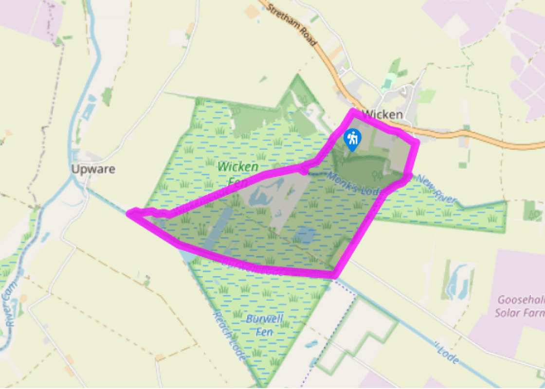
Additional information
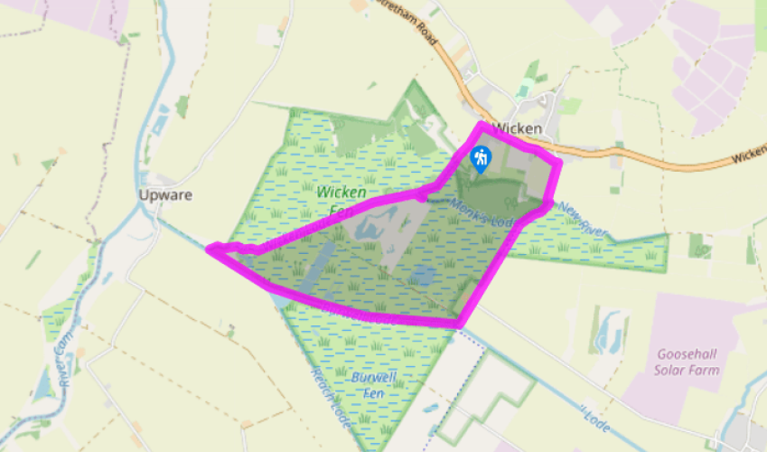
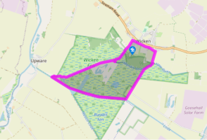
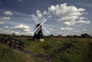
Terrain
- Mostly river banks and farm tracks, potentially slippery
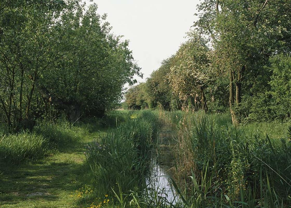
Landscape
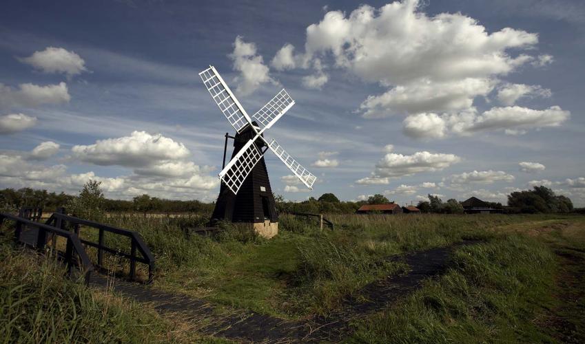
- Low-lying fenland of dykes, scrub and open fields
Dog friendliness
- Under close control due to livestock and nesting wildlife
Parking
- Wicken Fen nature reserve car park (pay-and-display) if visiting the reserve, otherwise off Wicken High Street
Toilets en route
- At nature reserve car park and visitor centre
About the walk
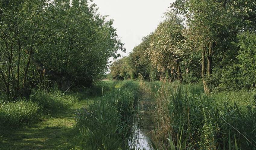
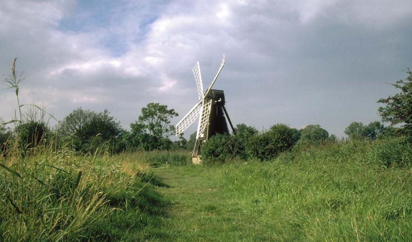
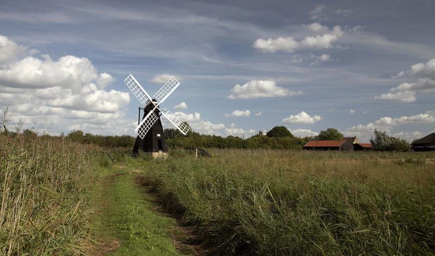
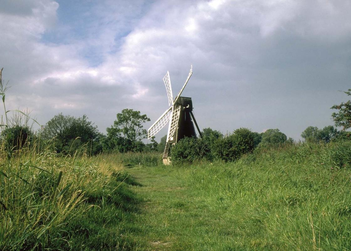
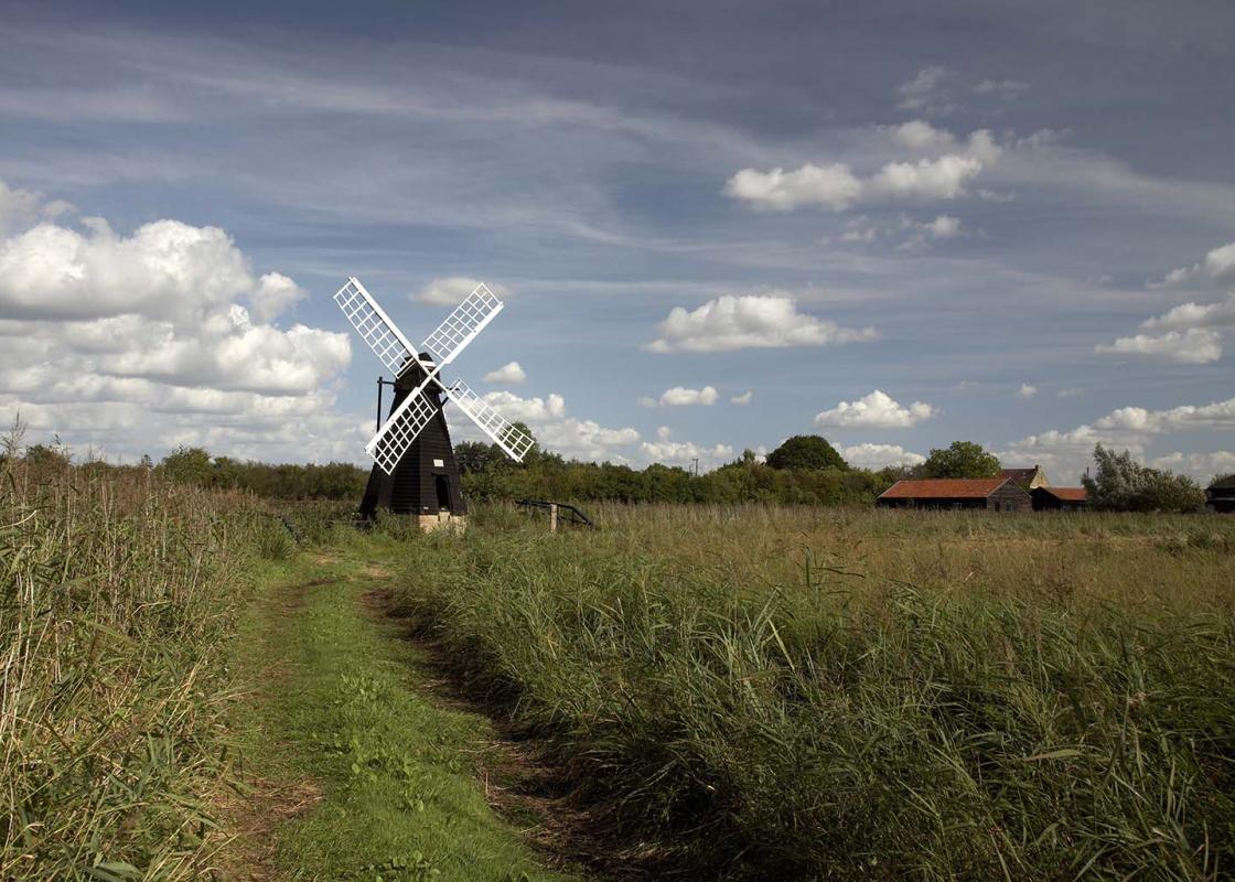
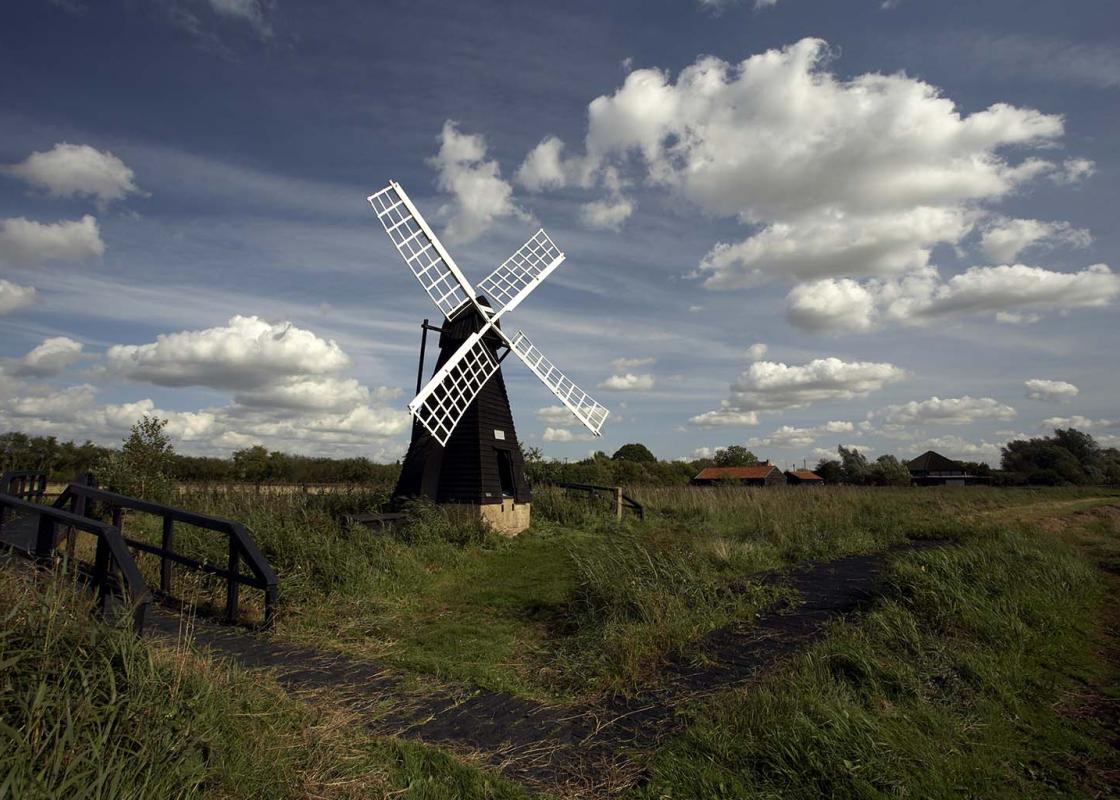
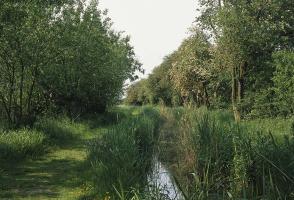
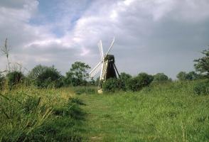
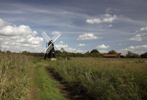
Wicken Fen is one of the oldest nature reserves in the country and, as the last surviving remnant of original fenland left in Britain, one of the most important, too. Over the last 400 years over 99 per cent of East Anglia's ancient Great Fen has been drained and converted into farmland, richly... productive for agriculture, but largely sterile for wildlife. Not surprisingly the National Trust's 1,600 acres (648ha) at Wicken have assumed a critical importance. Since they purchased their first tiny piece of land here in 1899, the Trust has made over 60 separate acquisitions at Wicken, and the plan is to continue to add to their holdings by acquiring farmland to the south of the reserve and restoring it to its original wetland state. The ultimate aim is to create a nature reserve covering over 13,000 acres (5,260ha) between Cambridge and Wicken Fen. Wildlife at Wicken The nature reserve itself includes a short boardwalk (0.75 miles/1.2km) and a longer nature trail (2.25 miles/3.6km), while eight hides allow close-up views over the many ponds and ditches which, depending on the time of year, are often teeming with wildlife. For instance, Wicken Fen hosts more than 1,000 types of beetle, and visiting coleopterists (that's beetle-lovers to you and me) once included the young Charles Darwin who came here to collect specimens while studying at Cambridge. As well as 212 species of spider, Wicken Fen also supports nearly 300 different types of plant. In the summer the ponds and pools buzz with dragonflies and damselflies, and are full of yellow and white water lilies, water mint and water violets, plus the greater bladderwort, a carnivorous plant with small yellow flowers and virtually no roots that feasts on small aquatic life forms. Away from the water the uncultivated grassland features early marsh and southern marsh orchids, usually flowering in June, while in the areas of sedge you can find milk parsley and the light purple flowers of the rare marsh pea. A visit to the reserve is a must, and you should allow the bare minimum of an hour to explore. Managing the land An on-going programme of management is essential to maintain the distinctive character of the land. For generations Wicken peat has been cut for burning, and sedge (a grass-like plant that grows on wet ground) has been harvested for thatching. The peat is now untouched, but sedge is still cut every three years in the summer – just as it has been at Wicken ever since 1419. Meanwhile konik ponies, already used in the Norfolk Broads, have been introduced to Verrall's Fen to stop cleared scrub from reinvading; and ditches are periodically dredged of choking vegetation by a process with the splendid name of 'slubbing'.
Read more