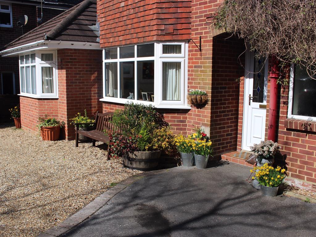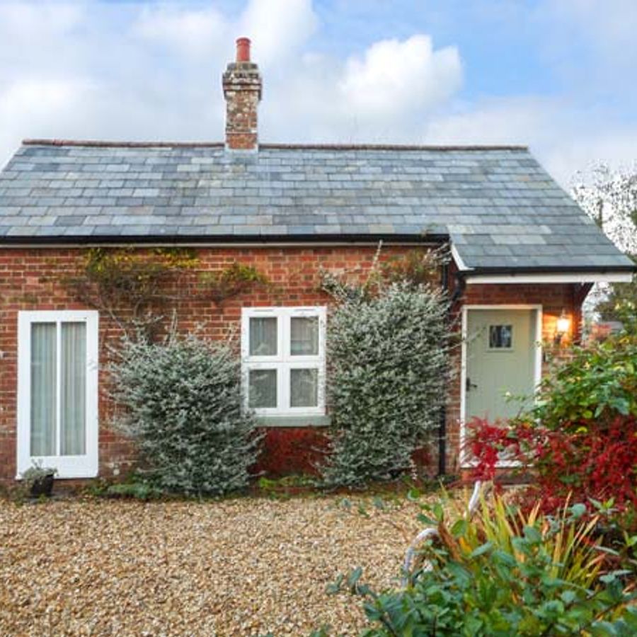


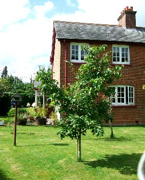
Denbur
Denbur stands in a lawned garden with cherry and apple trees in Gaunts Common, hunting ground of…

Wimborne
4 miles (6.4kms)
Wimborne is surrounded by the picturesque, gentle folds of the Dorset countryside, yet is just 5 miles (8km) from seaside towns such as Poole. The town grew up at the confluence of two rivers: the River Stour and the River Allen, both excellent for fishing. This attractive market town has retained many of its historic buildings, some dating to the 15th century. The High Street, in particular, boasts most of its original buildings, although they now house a variety of 21st-century retailers, coffee shops and restaurants. A bustling place year-round, Wimborne attracts many tourists, especially at weekends and during summer when, above the noise of the through-traffic and the busy shoppers, the town crier can be heard ringing his bell and yelling out information and announcements about the place.
Dominating the skyline and the narrow streets of the town is Wimborne Minster. The building’s foundation dates to ad 705, when Cuthberga and Cwenburga, sisters to Ina, King of the West Saxons, set up a mixed monastery here. Some 500 nuns were trained, and many nuns went from here with St Boniface to spread their teachings to pagan tribes in Germany. Cuthberga died in ad 725 and was buried in a Saxon church, thought to be on the same ground as the Minster. And, in ad 871, Alfred the Great’s brother, King Ethelred, was buried here after being killed in a battle in the area against the Danes. At the beginning of the 11th century, part of the minster was destroyed for good, and the present and remaining church building was constructed by the Normans with some Gothic parts. In 1600, the 13th-century spire, which was above the minster’s smaller tower, came crashing through the church, but miraculously no one was killed. One of the minster’s most fascinating features is the library, founded for the free use of the townspeople in 1686, and consisting of 350 (mainly theological) volumes. To prevent theft, the books were chained to the shelves. Also interesting are the two leather fire buckets in the baptistry – all that remains of the minster’s 18th-century fire equipment.
Turn left through a wide gate in the car park and into a field. Follow the path beside the river for 0.5 miles (800m), on the Stour Valley Way, crossing two stiles and a very short footbridge. The mottled brown towers of the minster are now seen ahead. The track runs into a little side road. Turn left at the end, towards the town centre, passing through a residential area of Victorian villas and modern houses – this is Julian’s Road. Emerge opposite the Minster Arms and cross straight over into West Street. Continue along the narrow pavement round past the back of the King’s Head Hotel into the town’s main square. Turn right here, into Church Street, passing the Oddfellows Arms pub and then the toilets on the left, with the minster straight ahead.
Take some time to visit the minster; its squat, square towers dominate the town centre. The present building dates from around 1100. After exploring the minster walk past the Number 9 on the Green café on the left, to meet the High Street. Follow this round to the right, to the junction with King Street and East Street. Turn left here, with a glimpse of the river on your left. Pass the Rising Sun pub on your right, cross the river and keep straight on.
Shortly afterwards, bear right down Poole Road and continue on to pass a large thatched pub, the Coach and Horses, on the left. Cross the River Stour on a footbridge to one side of the old arched road bridge.
Almost immediately turn right, down a narrow path between houses, signposted ‘Stour Valley Way - Corfe Mullen’. This emerges on to a bungalow estate; go straight over a mini-roundabout and follow the aquamarine waymarkers through the estate. Next, after about 55yds (50m), bear right down a narrow footpath, sided by fences, across the bottom of a recreation ground. Go through a metal kissing gate to continue on along a line of trees (on your right), above a bend of the river. There are water meadows below – look out for cormorants in the river. Cross a stile and turn up left, along the edge of some woods (on your right).
Go through a kissing gate and emerge at a lane and turn right (it’s noisy from the bypass, which runs parallel). Zig-zag under the bypass and go up to a gate. Go through and along the road, past Merley Hall farmhouse on your right. Continue ahead and at the end of the lane cross over the road immediately and turn right to reach a very busy roundabout (A31).
Follow the path round to the left and cross straight over this road with care. Once across, look directly ahead for the wooden fingerpost located in the bushes, signposted ‘Stour Valley Way and Pamphill’. Cross the stile and follow a grassy track as it bends to the right. Cross another stile over a fence, staying on the broad green track. Bear left to go through a metal gate, then cross a footbridge and go through another metal gate, before bearing right on a path over the grass. Keep right at a mid-field fork to pass through an old hedge-line and soon turn right, to cross a stile in the fence. Head straight across the meadows towards the river. Meet the corner of another field but continue straight ahead in the same field, close to its right-hand hedge and fence.
Go through a metal kissing gate. Cross a high footbridge over the river. On the opposite bank a surfaced riverside path leads off to the left. Bear right on this path to return to the car park, passing a slipway for launching small craft.
Riverside path (may be muddy), pavement, field paths, lane, gates
Town centre and water meadows to southwest
Town walking on very narrow pavements close to traffic makes this walk less dog-friendly
OS Explorer 118 Shaftesbury & Cranborne Chase
Gravel car park on Cowgrove Road (unsigned)
Near Minster
Read our tips to look after yourself and the environment when following this walk.
Dorset means rugged varied coastlines and high chalk downlands. Squeezed in among the cliffs and set amid some of Britain’s most beautiful scenery is a chain of picturesque villages and seaside towns. Along the coast you’ll find the Lulworth Ranges, which run from Kimmeridge Bay in the east to Lulworth Cove in the west. Together with a stretch of East Devon, this is Britain’s Jurassic Coast, a UNESCO World Heritage Site and Area of Outstanding Natural Beauty, noted for its layers of shale and numerous fossils embedded in the rock. Among the best-known natural landmarks on this stretch of the Dorset coast is Durdle Door, a rocky arch that has been shaped and sculpted to perfection by the elements. The whole area has the unmistakable stamp of prehistory.
Away from Dorset’s magical coastline lies a landscape with a very different character and atmosphere, but one that is no less appealing. Here, winding, hedge-lined country lanes lead beneath lush, green hilltops to snug, sleepy villages hidden from view and the wider world. The people of Dorset are justifiably proud of the achievements of Thomas Hardy, its most famous son, and much of the county is immortalised in his writing.
Discover more than 15,000 professionally rated places to stay, eat and visit from across the UK and Ireland.
Choose a place to stay safe in the knowledge that it has been expertly assessed by trained assessors.
Search by location or the type of place you're visiting to find your next ideal holiday experience.
Read our articles, city guides and recommended things to do for inspiration. We're here to help you explore the UK.