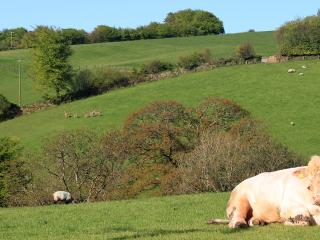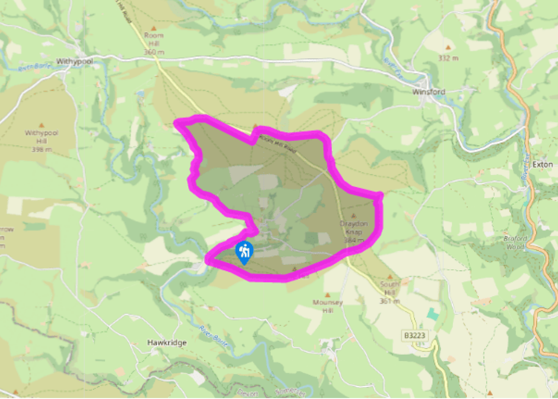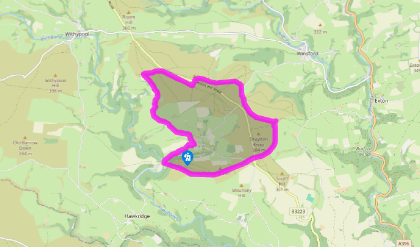
Winsford Hill
Join the lane uphill towards Liscombe. Nearing the village, turn sharp left on a track signed to Knaplock. Entering a field corner, swing right through a gate and then left beside the hedge. Emerging at the top, follow a track left then bear right into the field far corner. Cross a stile and continue by the left hedge of two more fields to come out beside Higher Knaplock Farm.
The track ahead (signed 'Tarr Steps') winds to Knaplock Farm. Picking up signs to Comer's Gate, turn right through the yard and wind up between barns to a gate at the top. Bear left along a hedged track, passing through a couple of gates and crossing a stream. Swing right through an often-waterlogged section, shortly approaching a line of beech trees. Keep with the old track by the left bank, soon passing through a gate onto the edge of open moor. Before long, at a sign, the path arcs right to avoid a bog, rejoining the bank some 350yds (320m) further on. Where the boundary then curves left, rise ahead through gorse to a diminutive four-way signpost.

Been on this walk?
Send us photos or a comment about this route. Or recommend a route of your own.

Walking in Safety
Read our tips to look after yourself and the environment when following this walk.

Get an AA guide
Explore our range of ‘50 Walks in’ guides - they’re the ideal companion for a ramble.
Been on this walk?
Send us photos or a comment about this route. Or recommend a route of your own.
Walking in Safety
Read our tips to look after yourself and the environment when following this walk.
Get an AA guide
Explore our range of ‘50 Walks in’ guides - they’re the ideal companion for a ramble.

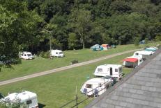
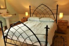
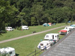
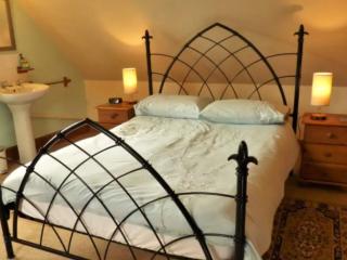
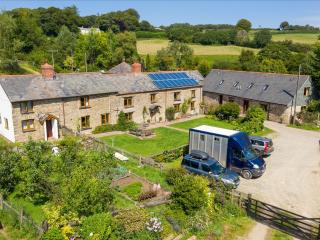
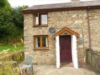
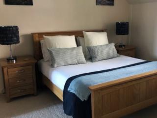
Nearby places to stay
View all (8)


- Launderette
- Ice pack facility
- Wifi available
- Calor Gas