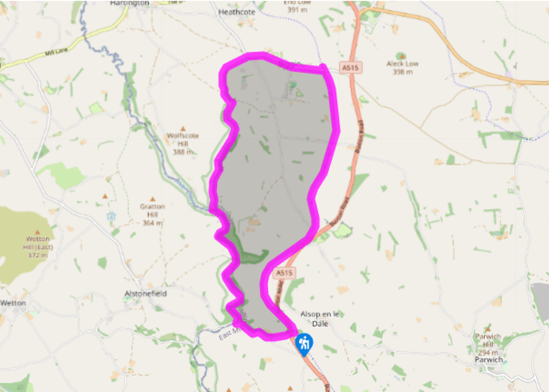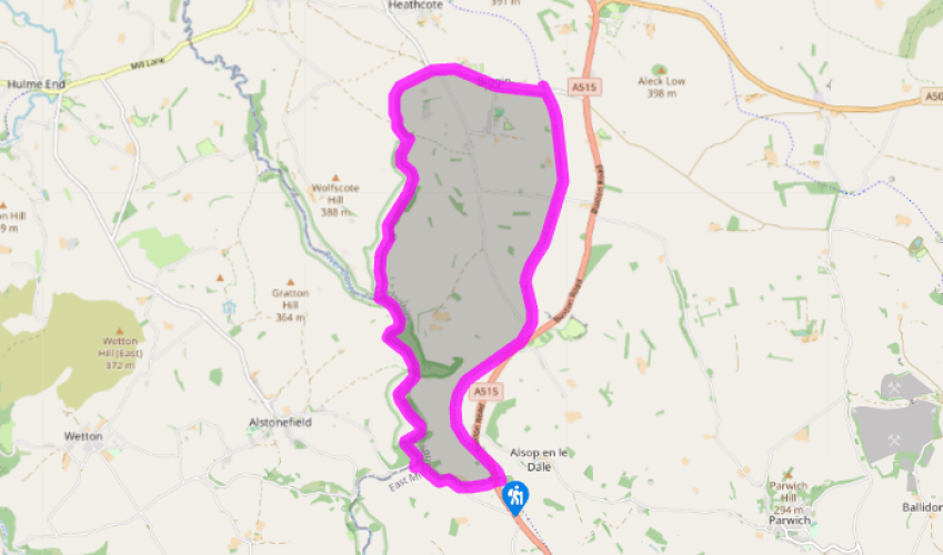
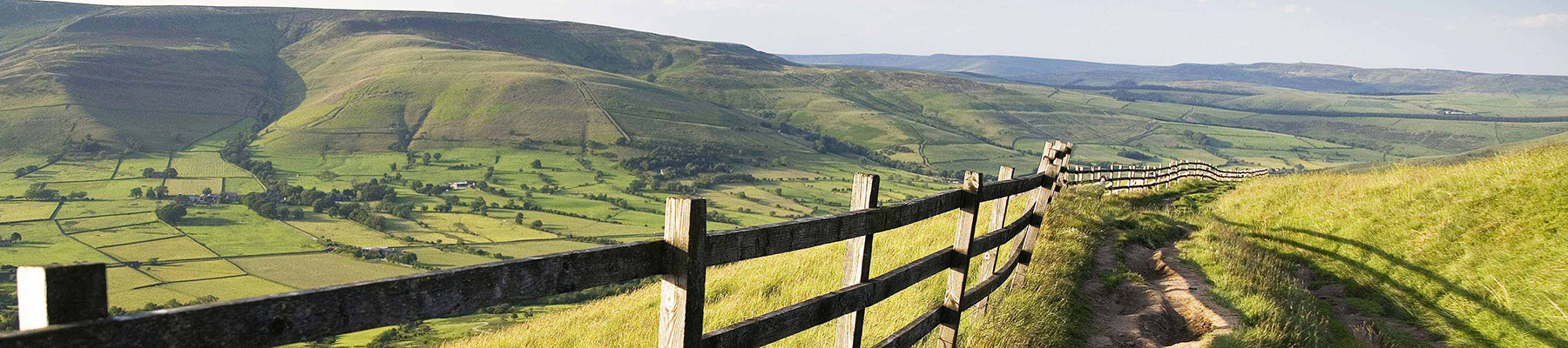
Wolfscote Dale and Biggin Dale
Recommended by

"Following beautiful limestone valleys then an easy return along the Tissington Trail"
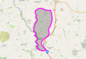
Walk directions
From the car park, carefully cross the busy A515 road and follow the lane opposite signed to Mill Dale.
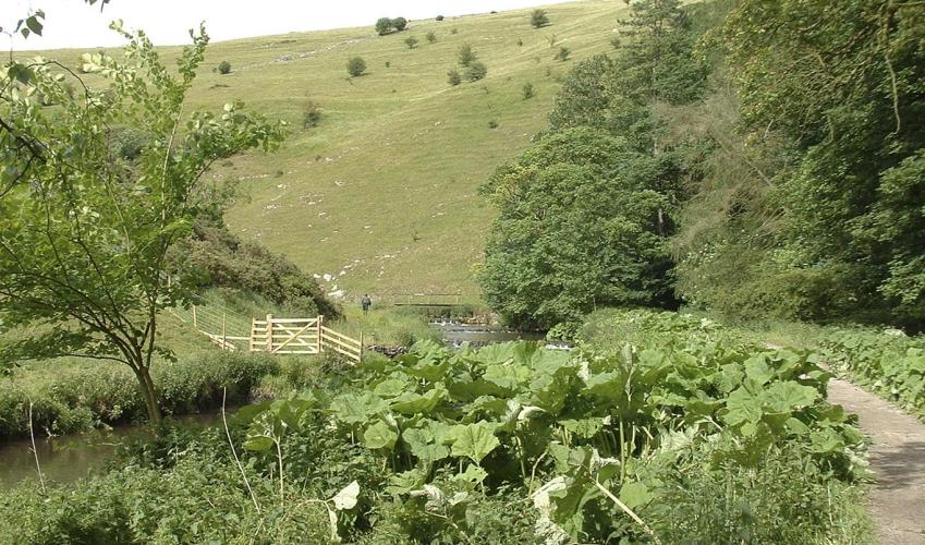
Go right at a junction, and follow the lane down to the bridge at Lode Mill. (If the road is particularly popular, as sometimes happens in summer, part-way down on the left there’s an alternative road-avoiding path. However it’s narrow and sometimes overgrown so the road is best when clear.) Turn right just before the bridge and to the path running alongside the river.
View all directions
Additional information
Terrain
- Generally well-defined paths, although the limestone dale can be slippery after rain
Landscape
- Partially wooded limestone dales and high pasture
Dog friendliness
- On lead in dales (nature reserve); under close control elsewhere – avoid long stretchy leads on trail to prevent tripping other users
Parking
- Alsop Station pay car park
Toilets en route
- None on route
About the walk
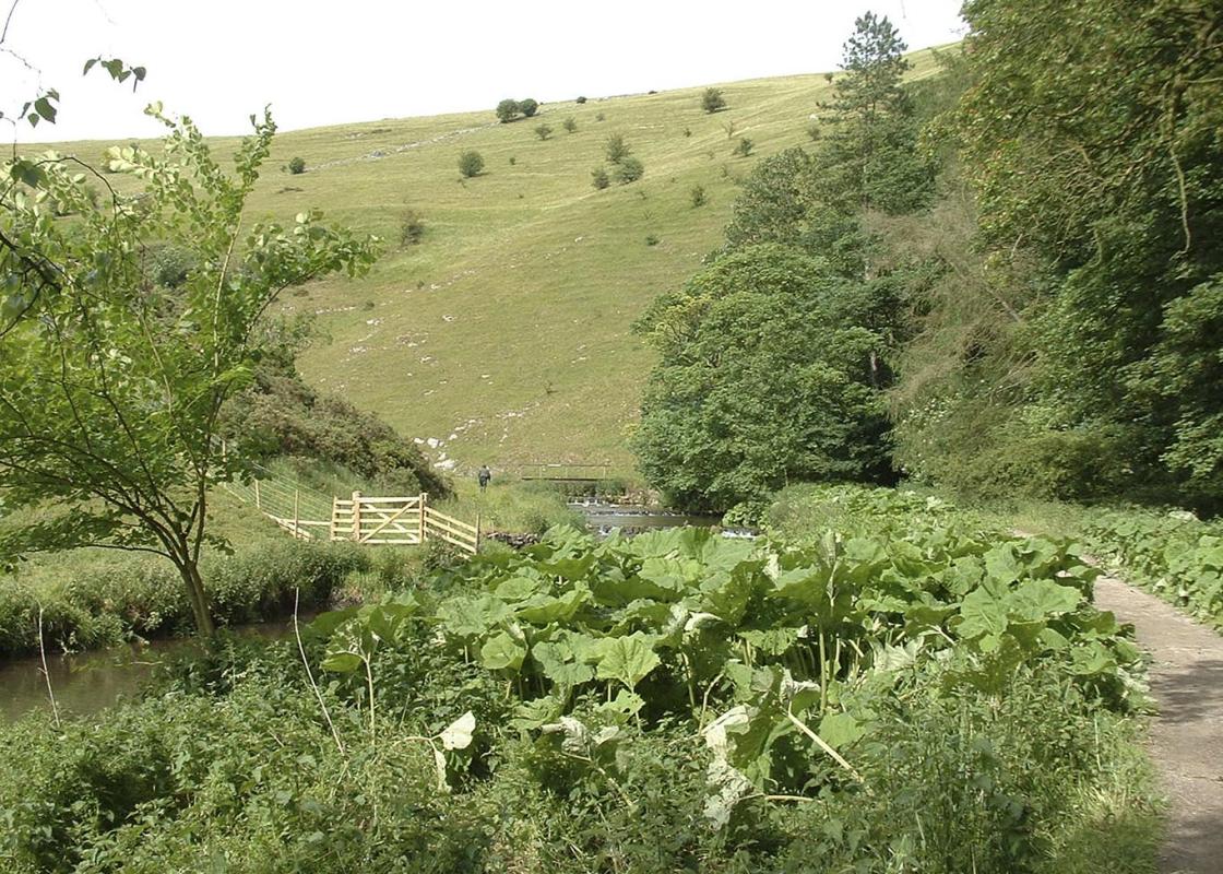
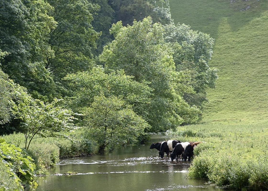
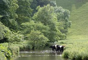
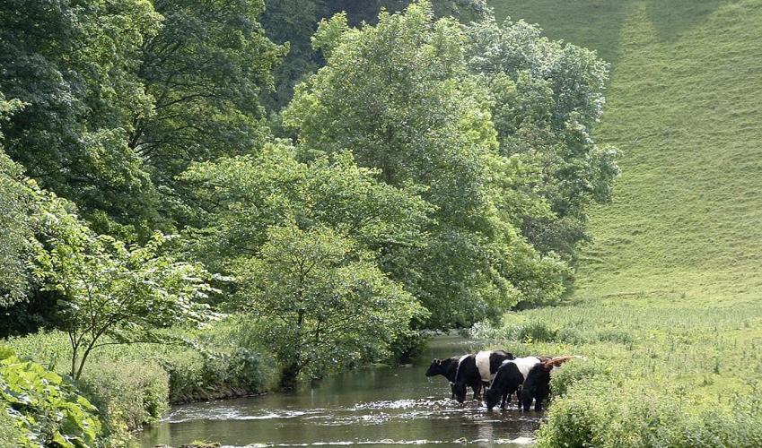
From its source, on Axe Edge, to Hartington, the River Dove is little more than a stream flowing past the Dragon’s Back at Chrome Hill, and in an attractive but shallow valley south of Crowdecote. But once through the pretty woodlands of Beresford Dale it cuts a deep limestone canyon with cliffs...
Read more

Been on this walk?
Send us photos or a comment about this route. Or recommend a route of your own.

Walking in Safety
Read our tips to look after yourself and the environment when following this walk.

Get an AA guide
Explore our range of ‘50 Walks in’ guides - they’re the ideal companion for a ramble.
Been on this walk?
Send us photos or a comment about this route. Or recommend a route of your own.
Walking in Safety
Read our tips to look after yourself and the environment when following this walk.
Get an AA guide
Explore our range of ‘50 Walks in’ guides - they’re the ideal companion for a ramble.
About the area
The natural features of this central English county range from the modest heights of the Peak District National Park, where Kinder Scout stands at 2,088 ft (636 m), to the depths of its remarkable underground caverns, floodlit to reveal exquisite Blue John stone. Walkers and cyclists will enjoy the High Peak Trail which extends from the Derwent Valley to the limestone plateau near Buxton, and for many, the spectacular scenery is what draws them to the area.
Nearby places to stay
View all (8)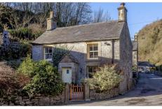
Self-Catering
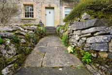
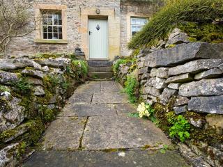
Milldale Cottage Company - Duck Cottage


- Total units: 1
- Private garden
- Washing machine
- Sky or freeview
Nearby places to stay

Milldale Cottage Company - Duck Cottage
Duck Cottage offers comfortable accommodation perfect for families or friends for a getaway in the Peak District. The cottage comprises of an open plan kitchen dining room, cosy sitting...
Riverside Cottage
Riverside Cottage is a traditional stone building offering very comfortable accommodation for up to 6 guests. Perfect for families or friends to enjoy a getaway in the great outdoors. P...
Milldale Cottage Company - Riverside Cottage
Riverside Cottage is a traditional stone building offering very comfortable accommodation for up to 6 guests. Perfect for families or friends to enjoy a getaway in the great outdoors. P...

Rivendale Lodge Retreat
Rivendale Lodge Retreat is set in a former quarry, and there are lots of places to visit and things to do nearby, including the adjacent Tissington Trail. Natural landscaping includes a...
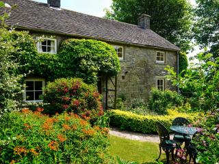
Church Farm Cottage
...
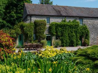
Ancestral Barn
...
Dovedale Cottages at Church Farm
Dovedale Cottages are two self-catering properties nestling in the grounds of an organic farm in a tranquil Peak District setting. Church Farm Cottage is full of character and charm wit...
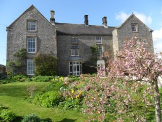
Stanshope Hall
Stanshope Hall is close to Dovedale National Nature Reserve and the Manifold Valley, so it enjoys some lovely views of the Peak District National Park. The accommodation is comfortable ...
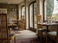
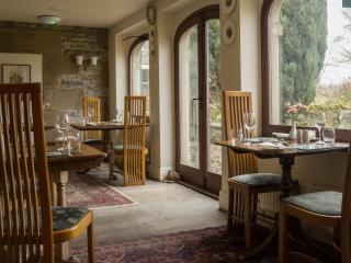
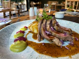
Places to eat nearby View all