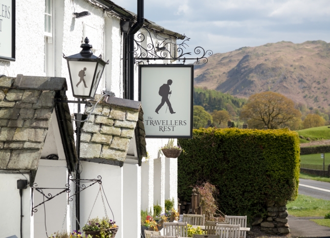
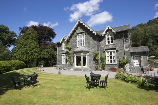
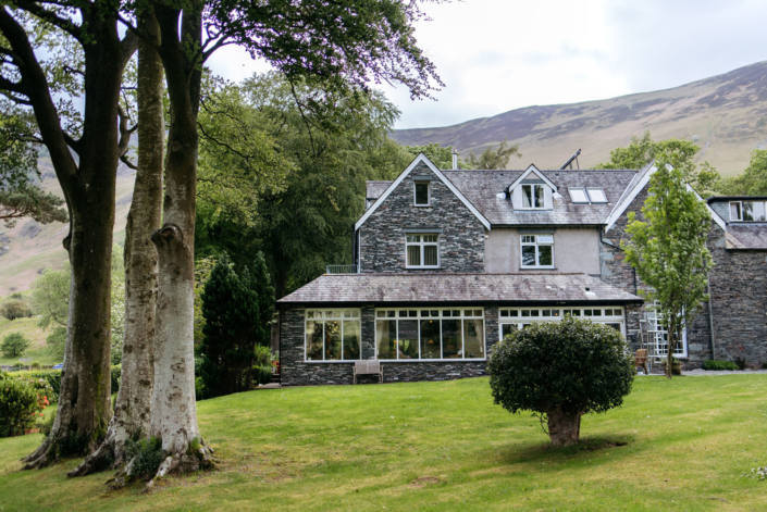
The Yan at Broadrayne
Clustered around a pretty farmyard in the Vale of Grasmere, Broadrayne Farm Cottages offers a…

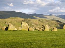
A steep climb up into a wooded hollow reveals a tarn and a glimpse of a lost world.
Thirlmere
2 miles (3.2kms)
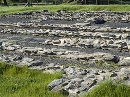
Background From the car park at Steel End, this walk follows a quiet lane, up past a few barns and then across rough pasture to the remains of an ancient farmstead, before picking out a line of rustic steps to emerge in an upland forestry plantation From here it follows a waymarked nature trail back to another car park and finishes with a gentle lakeside meander back to the start. In the heart of the Lake District National Park, a more idyllically unchanging rural scene could surely not be described. But almost every element of this walk is a result of hard fought decisions; not locally in Cumbria, but by the Waterworks Committee of Manchester Corporation and their successors between 1875 and 1982. Glacial Lakes Before 1875, the reservoir we now describe as Thirlmere was two natural glacial lakes – Leathes Water and Wythburn Water – connected by a narrow strip of slow moving beck, and ponderously crossed by a structure known as the Celtic Bridge. At Steel End, the hamlet of Wythburn was a ragtag of farms scattered across the valley head, from the old church on the fellside in the east, to the venerable farmhouse known as Westhead below Birk Crag in the west. In the valley bottom a collection of cottages went by the ironic name The City. There were two pubs, the Cherry Tree and the Nag's Head, which vied for the business of travellers passing over Dunmail Raise from west Cumbria towards Kendal. This was sheep farming territory, not unlike Langdale or Borrowdale; the tree cover that existed was mostly oak or ash, in small coppice woods or on rough land where even the sheep couldn't penetrate. Ambitious Plan But that all changed, because faraway Manchester, the first metropolis of the industrial age, was running out of water. Cotton goods from the world's cotton capital were being shipped to Glasgow for bleaching and dyeing, because the water Manchester was wringing from the adjacent south Pennines was too peat-stained to be of use. The Waterworks Committee, under the guidance of its formidable chairman Sir John Harwood, set about an ambitious plan to take the sparkling clean water from the Wyth Burn to the taps of Cheetham Hill. Cutting through opposition with dogged determination, the land was bought, and by 1894 a dam was built and the valley was flooded. Farms not actually inundated were soon abandoned – you pass Stenkin's barns and Westhead's sad ruins, still with cobbles in the yard and traces of plaster on the tumbled walls. Trees were planted to stabilise the fellsides – Norway and Sitka spruce, larch and Douglas fir, previously unseen in plantations in England. A new road was built down the west of the valley, and much later car parks and walking trails to add a new 'amenity' value. It's still a beautiful place, but that current beauty is a relatively recent creation.
Leave the parking area by the main entrance and turn right along the minor road for 200yds (183m). At a footpath sign on the left by some buildings turn left and walk through the yard, passing through several gates to enter a field. Keep to the base of the field by the wall, ascending gently to the remains of West Head farmhouse.
Continue through the ruins, through a gate, then a small field. The path dips down to a gate leading into the final field before the road. Don't go through this, but turn left, on a faint rising path zig-zagging back steeply up the hill. Across a tongue of drier land, you are now heading for the gap between two sets of crags on the horizon. As you get closer to the crag, you'll find a shelving path heading up to the left. A series of underused rocky steps lead you up into the gap between the crags and a shallow col, the slopes now cloaked in juniper. At the top of the crag, the path reaches a dry-stone wall running up the fell.
Follow this over the brow ahead. Levelling out now, you'll see the forest beyond, a viewpoint on Birk Crag up to the right making for a worthy diversion. At the wall junction, step through a gap, into a boggy channel which becomes a path between the wall and the fence. An obvious route now recrosses the wall and descends with the wall on your left into the valley of Harrop Tarn. At the bottom of the slope a boardwalk leads to a gate in the deer fence. Turn right and follow the forest trail to a bridge over the tarn's outflow.
Cross the bridge and follow the prominent tarnside track round a corner. After a few paces, turn right with a trail marker, over a low bluff then joining a paved pathway down the left-hand side of the descending gill. Soon the roar of a waterfall on your right alerts you to some unprotected viewpoints. Green and yellow waymarkers abound as the descent becomes steeper, zig-zagging down into older woodlands. A line of blue-topped posts marks your steep route, which soon becomes more gentle, beneath beeches to a gate at the junction of a wall and fence. Walk out into Dob Gill car park (toilets).
Turn right along the road, recrossing Dob Gill. About 50yds (46m) further on go though the kissing gate on the left and follow the lakeshore path back to Steel End car park. When the water level is very high, this route can be flooded. In this case, walk back to Steel End along the road.
Road, rough fell track and nature trail
Fell, forest and lakeside
Sheep in the fields at the start but off lead potential in woodland
OL5 The English Lakes (NE)
Steel End pay-and-display car park
At Dob Gill car park
Read our tips to look after yourself and the environment when following this walk.
Discover more than 15,000 professionally rated places to stay, eat and visit from across the UK and Ireland.
Choose a place to stay safe in the knowledge that it has been expertly assessed by trained assessors.
Search by location or the type of place you're visiting to find your next ideal holiday experience.
Read our articles, city guides and recommended things to do for inspiration. We're here to help you explore the UK.