
Wernddu Caravan Park
Located north of the town centre, this former fruit farm, adjacent to a golf club and driving…

A circuit of Ysgyryd Fawr
Ysgyryd Fawr
3.75 miles (6kms)
Ysgyryd Fawr, or Skirrid Mountain, is the easternmost peak in the Bannau Brycheiniog (Brecon Beacons) National Park. Isolated from the Black Mountains by the Fenni Valley, it’s perfectly situated to offer superb views over the rest of the range.
This is a short walk, but it’s not to be underestimated; after an easy but enjoyable ramble around the western flanks, the route to the top makes a direct assault on a steep spur that offers little quarter in the fight against gravity. It’s definitely worth the effort though, as the summit gives stunning views and the slender ridge that marks the line of descent is one of the finest skyline walkways in the area.
The mountain has long been referred to as the Holy Mountain. The deep cleft in the ridge is said to have been created by a bolt of lightening at the time of the crucifixion and the soil in the valley that divides the hillsides is thought to have special powers. It’s even been said to have originated in the Holy Land or, at the very least, Ireland, imported by St Patrick himself. History records local people collecting the soil to sprinkle on anything from coffins to fields of crops. The evangelical importance of the mountain was marked with a small medieval place of worship, dedicated to St Michael, and squeezed on to the narrow summit. Years of mountain-top weather have taken their toll and only the outline plus two small stones that form a doorway remain. There’s also evidence of a small hill fort on the same spot. The name Ysgyryd probably derives from Ysgur, Welsh for ‘divide’, and Fawr meaning ‘great’ or ‘big’. You’ll find its little sister Ysgyryd Fach, (‘small’) a couple of miles further south, on the outskirts of Abergavenny.
Walk through the barrier at the western end of the car park and follow the hedged track around to the right. Climb up to a gate and stile beneath a large oak tree. Cross these and follow the green and white waymarker that directs you off to the right.
Ascend a few wooden steps and keep straight ahead at a staggered crossroads, again following the green and white marker posts. You’ll cross a grassy forest track and then climb a series of steps to cross another forest track. Continue to a gate.
Turn left here and follow the moss-covered wall around. The wall drops to the left, but continue along the path.
This now undulates as it contours around the hillside, eventually leading into a narrow rock-strewn valley. Stay on the main path to pass a small pond on the left and gradually veer around to the right. Stay on the path and you’ll emerge on to open ground with a fence to your left. Continue until your way ahead is blocked by a gate.
Fork right in front of the gate and follow the open ground steeply uphill. Stay on the main path, following National Trust markers (watch out for the second one, which is very small and off to the right of the path), and eventually you’ll reach the top of the ridge. Turn right and follow the ridge for a few paces to the summit.
To descend, retrace your steps back to the point where you joined the ridge and then keep straight ahead to the end. Drop down the narrow southern spur and bear around to the right to join a stone path. Follow this down to a wall and bear right to return to the gate at Point 3. Retrace your steps back down through the wood to return to the car park.
Tracks through woodland and bracken, steep climb and easy traverse of airy ridge
Mixed woodland, bracken-covered slopes, views over Black Mountains
Care needed near livestock
OS Explorer OL13 Brecon Beacons National Park
Small car park on B4521
None on route
<p>Do not attempt this walk after a period of prolonged rainfall.</p>
Read our tips to look after yourself and the environment when following this walk.
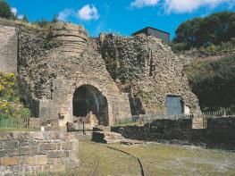
In their bid to control the borderlands of Monmouthshire – also known as the Marches – the Normans built a triangle of castles: Grosmont, Skenfrith and White. At first, they were simple wooden structures strengthened by earthworks, but when the lively Welsh refused to stop attacking them, it was decided more permanent fortresses were needed. All three are worth a visit and the views from the battlements at White Castle over the surrounding countryside to the Black Mountains are stunning, as is all the scenery in this area – consisting of a patchwork of low hills, hidden valleys, fields criss-crossed with hedgerows and small belts of woodland.
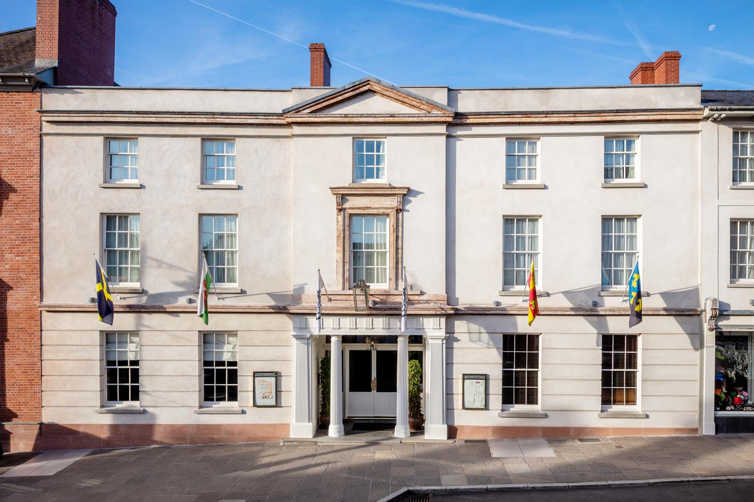
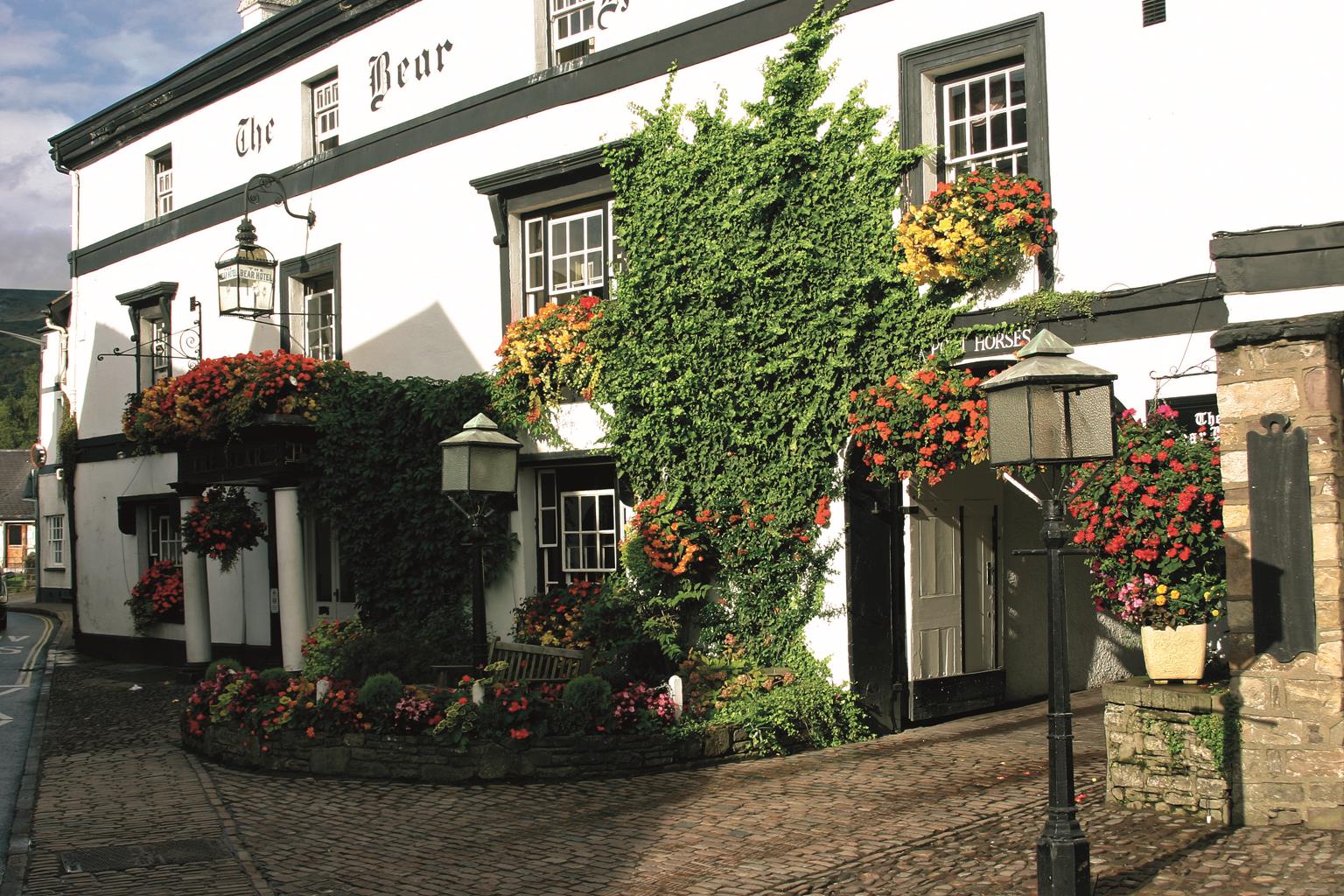
Monmouth itself makes a great base to explore the beautiful Wye Valley, as well as being known as the home of Rockfield Studios, where Queen recorded Bohemian Rhapsody in 1975. The largest town in the county, Abergavenny is creating a name for itself as the foodie capital of the Usk Valley, and has held a weekly cattle market on the same site since 1863. Its location just six miles from the English border means it’s often described as the ‘gateway to Wales’.
Discover more than 15,000 professionally rated places to stay, eat and visit from across the UK and Ireland.
Choose a place to stay safe in the knowledge that it has been expertly assessed by trained assessors.
Search by location or the type of place you're visiting to find your next ideal holiday experience.
Read our articles, city guides and recommended things to do for inspiration. We're here to help you explore the UK.