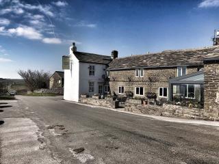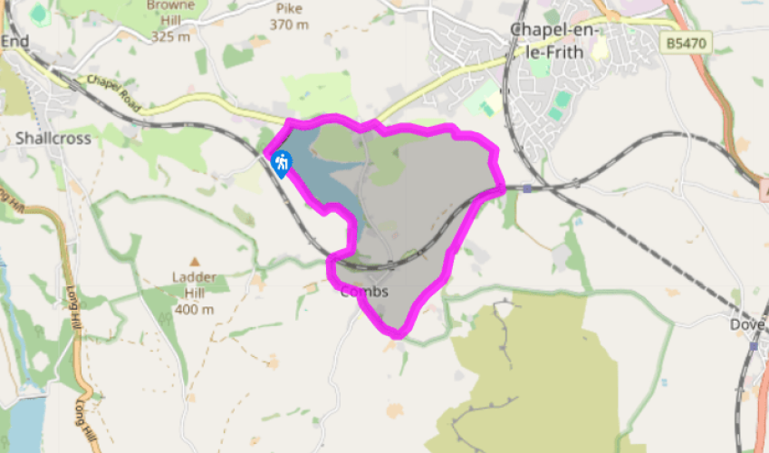
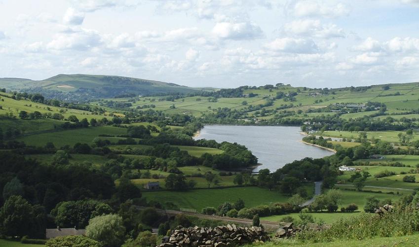
Combs and Combs Reservoir
Recommended by

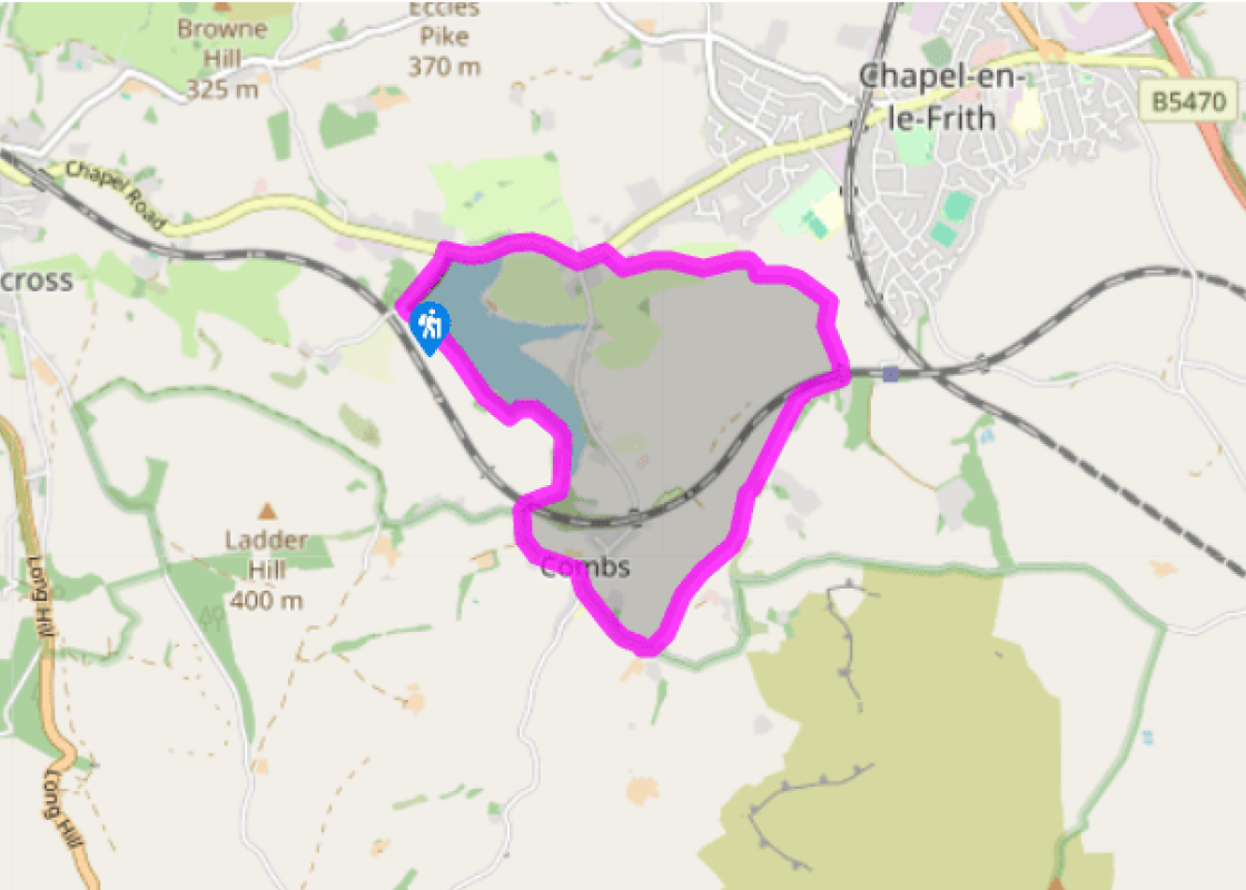
Walk directions
Follow the path from the dam along the reservoir’s western shore, ignoring the first footbridge over Meveril Brook.
As the reservoir narrows the path traverses small fields, then comes to another footbridge over the brook. This time cross it and head straight across another field. Beyond a foot tunnel under the Buxton Line railway, the path reaches a narrow hedge-lined country lane. Turn left along the lane into Combs village.
View all directions
Additional information
Terrain
- Can be muddy; several stiles
Landscape
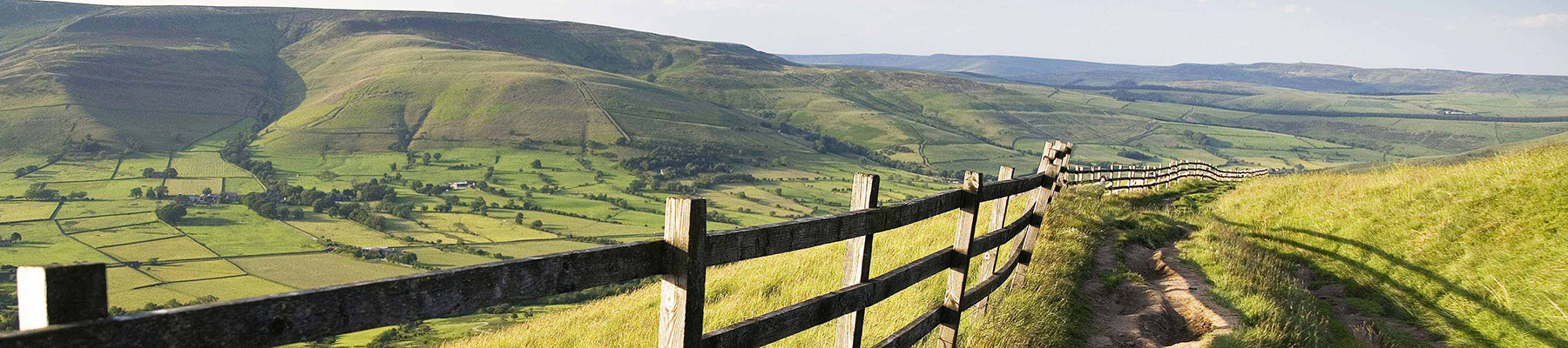
- Reservoir, meadows and high moors
Dog friendliness
- Farmland; dogs should be kept on leads
Parking
- Combs Reservoir car park
Toilets en route
- None on route
About the walk
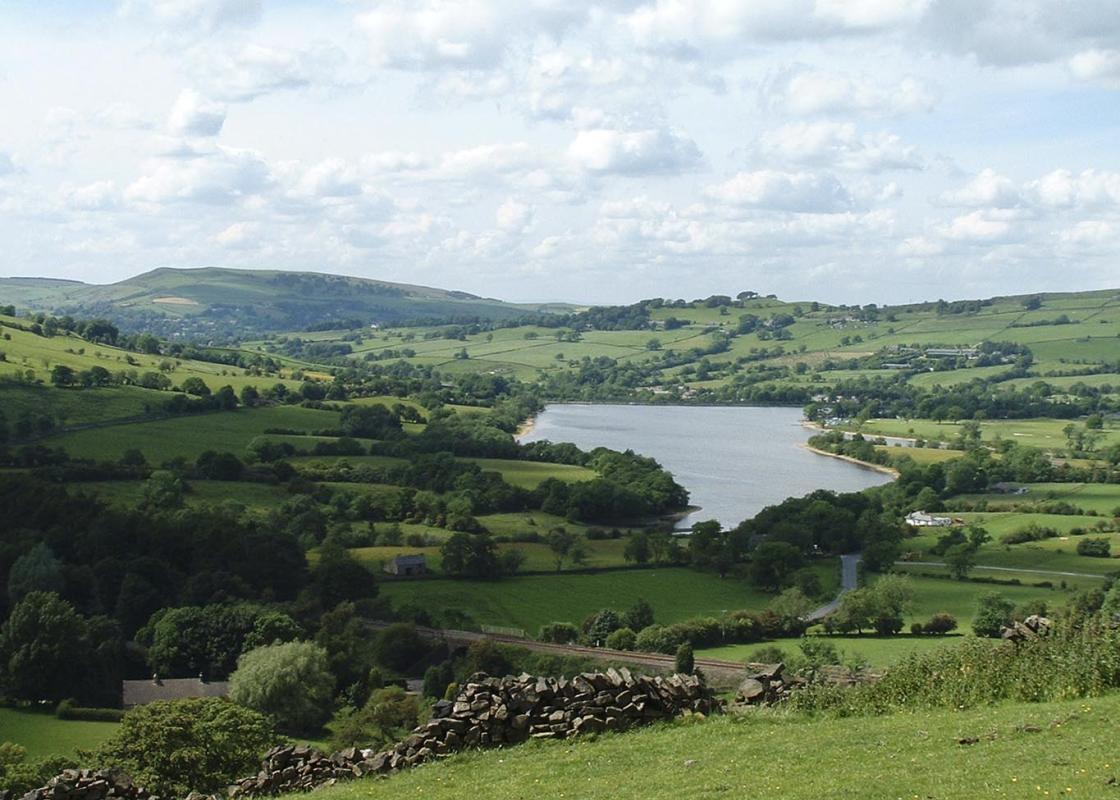
This is a fine little corner of Derbyshire, tucked away from the crowds of Castleton and Hathersage. The route starts by the west side of the dam on a narrow path between the reservoir and Meveril Brook. The site is an SSSI due to a community of short-lived mosses and liverworts. The reservoir...
Read more

Been on this walk?
Send us photos or a comment about this route. Or recommend a route of your own.

Walking in Safety
Read our tips to look after yourself and the environment when following this walk.

Get an AA guide
Explore our range of ‘50 Walks in’ guides - they’re the ideal companion for a ramble.
Been on this walk?
Send us photos or a comment about this route. Or recommend a route of your own.
Walking in Safety
Read our tips to look after yourself and the environment when following this walk.
Get an AA guide
Explore our range of ‘50 Walks in’ guides - they’re the ideal companion for a ramble.
About the area
The natural features of this central English county range from the modest heights of the Peak District National Park, where Kinder Scout stands at 2,088 ft (636 m), to the depths of its remarkable underground caverns, floodlit to reveal exquisite Blue John stone. Walkers and cyclists will enjoy the High Peak Trail which extends from the Derwent Valley to the limestone plateau near Buxton, and for many, the spectacular scenery is what draws them to the area.
Nearby places to stay
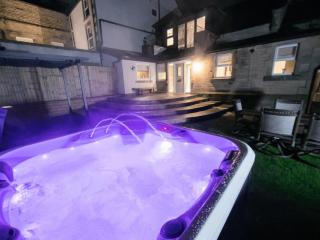
View all (8)Lowes Mill Cottages at Torr Vale Mill
- Total units: 4
- Lawn area
- Garden furniture
- Dish washer


Nearby places to stay
Lowes Mill Cottages at Torr Vale Mill
The four historic cottages are converted outbuildings of the Grade II* listed Torr Vale Mill, which was England’s longest continuously working mill, from 1785 to 2000. Set in a deep val...
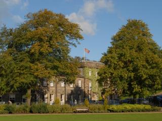
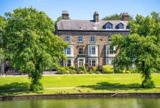
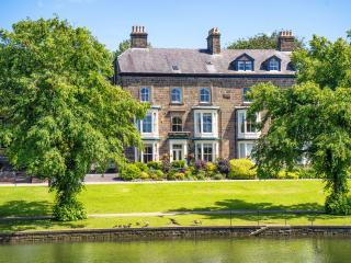
Old Hall Hotel
The Old Hall Hotel in Buxton is reputed to be the oldest in England, with a rich history that dates back thousands of years and features some notable guests, including Mary Queen of Sco...
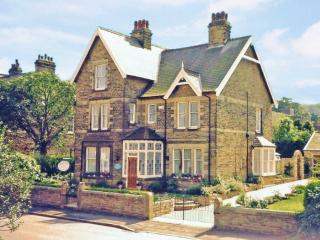
Roseleigh Guest House
This elegant property has a prime location overlooking Pavilion Gardens, and the quality decor highlights its many original features. The thoughtfully designed bedrooms are adorned with...
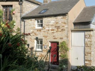
5 Church Street
Deceptively spacious and light, 5 Church Street is a contemporary re-making of a former cottage on one of Buxton’s oldest streets. It combines traditional character with all the facilit...
5 Church Street
Deceptively spacious and light, 5 Church Street is a contemporary re-making of a former cottage on one of Buxton’s oldest streets. It combines traditional character with all the facilit...
Braemar
Braemar is a long-established, central yet quietly situated Victorian property offering homely and comfortable accommodation. It’s within easy walking distance of the historic towns man...
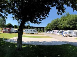
Lime Tree Park
A very attractive and well-designed site set on the side of a narrow valley in an elevated location, featuring separate, neatly landscaped areas for static caravans, tents, touring cara...
Foxlow Grange by Muse Escapes
In the spa town of Buxton, Foxlow Grange contains beautifully decorated apartments for a luxurious break. Local attractions include St Ann’s Well for a taste of Buxton water, as well as...
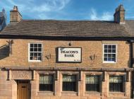
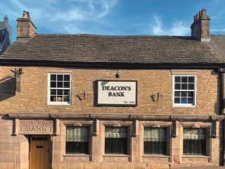
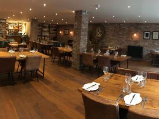
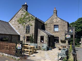
Places to eat nearby View all