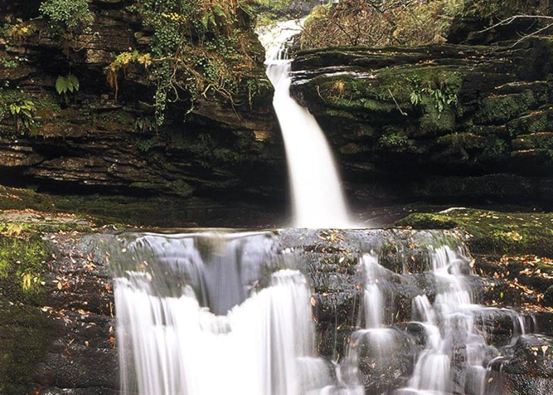
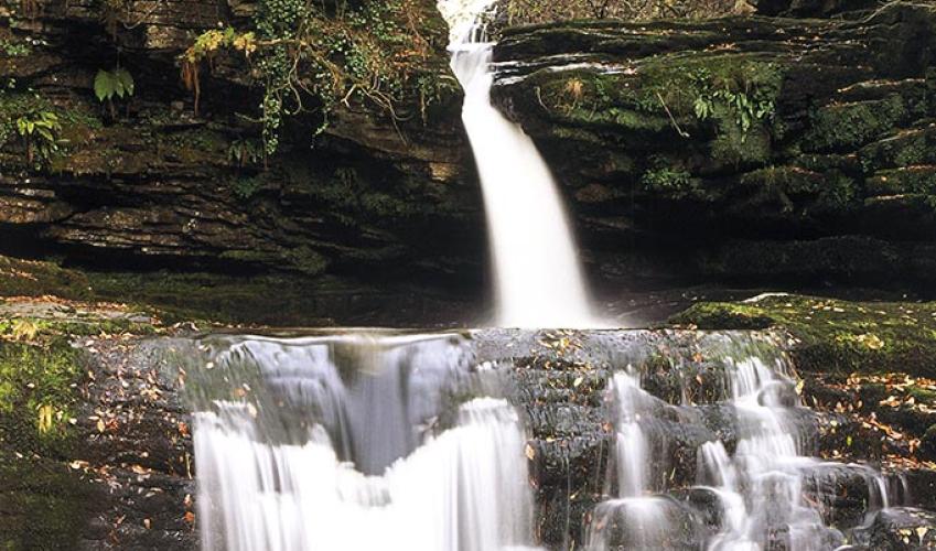
In Waterfall Country
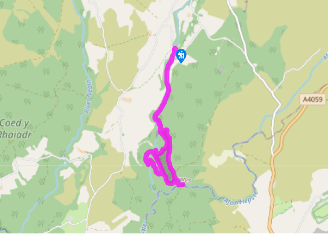
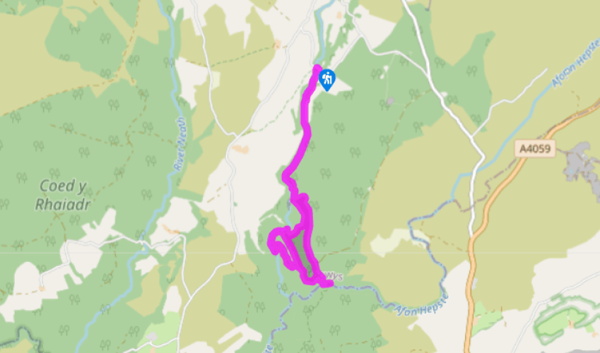
Cross the road at the entrance to the car park and head down the left-hand of the two paths, waymarked with a yellow arrow. Ignore a right fork marked ‘Access for Cavers’ and follow the main path through a kissing gate and on to the river bank. Now keep the river to your right to follow a rough footpath through a couple more kissing gates to reach a footbridge.
Don’t cross but continue ahead on the main path to climb steeply up to a fence. Stay with the path, with a wooden fence now on your right, for a few paces and you’ll reach a junction of footpaths marked with a large fingerpost. Bear sharp left on to a well-surfaced track, waymarked to Gwaun Hepste, and follow this for a short distance to another junction, where you should turn right (waymarked ‘Sgwd yr Eira’).

Been on this walk?
Send us photos or a comment about this route. Or recommend a route of your own.

Walking in Safety
Read our tips to look after yourself and the environment when following this walk.

Get an AA guide
Explore our range of ‘50 Walks in’ guides - they’re the ideal companion for a ramble.
Been on this walk?
Send us photos or a comment about this route. Or recommend a route of your own.
Walking in Safety
Read our tips to look after yourself and the environment when following this walk.
Get an AA guide
Explore our range of ‘50 Walks in’ guides - they’re the ideal companion for a ramble.

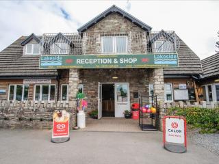
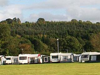
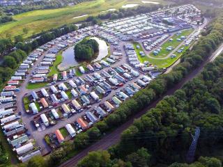
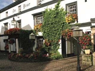
Nearby places to stay
View all (8)


- Launderette
- Ice pack facility
- Picnic Area
- Shop onsite