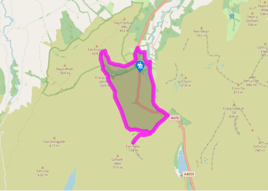
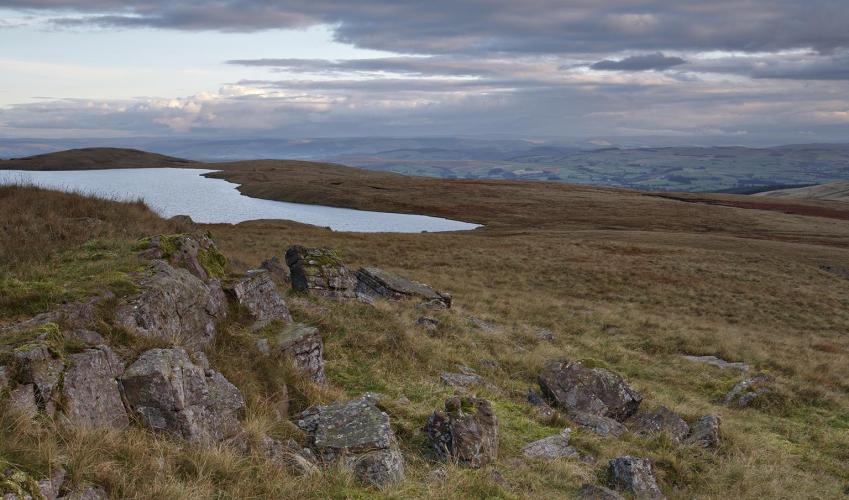
Into Fforest Fawr
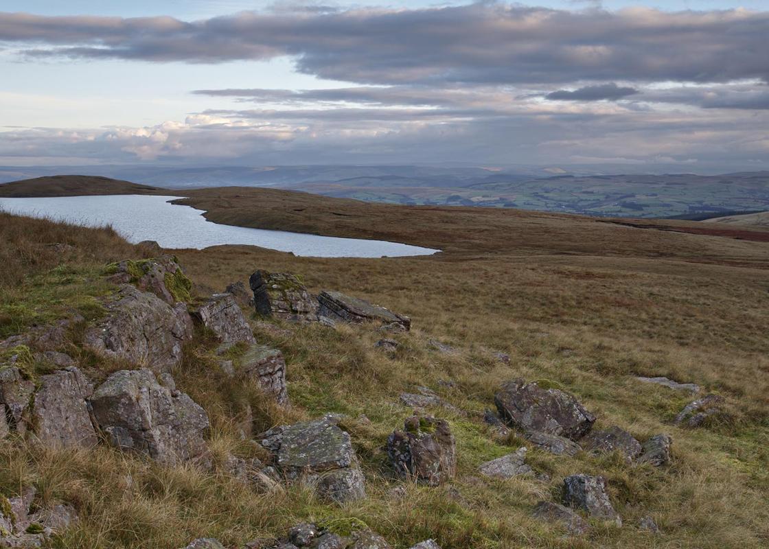
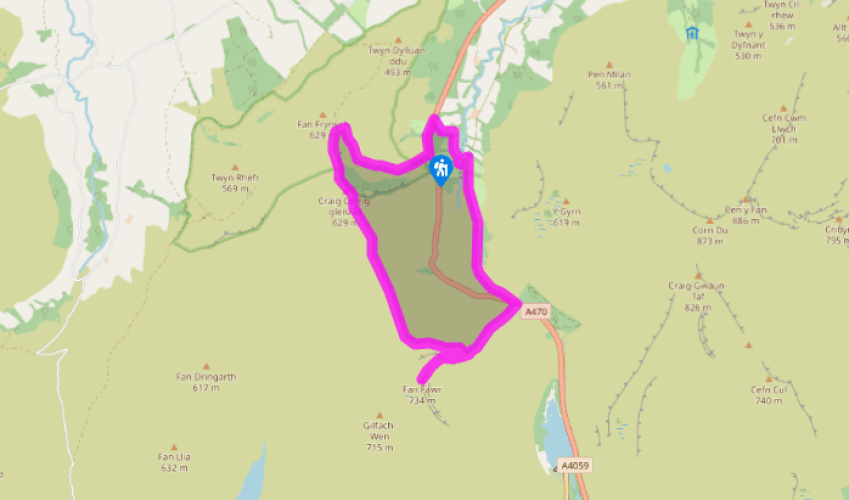
From the lay-by, go through a kissing gate on to a gravel path (this is on the other side of the stream from the picnic area). Pass an information board and climb through trees to a wooden gate in a dry-stone wall. Directly ahead are the towering crags of Craig Cerrig-gleisiad.
Go through a gap in the wall and take the path climbing straight ahead. As the ground levels, bear left to follow a signed diversion. Following regular waymark posts, climb steeply to the right until you reach a junction of paths at a cone-shaped cairn. Turn sharply left and continue more easily to a kissing gate in a fence.

Been on this walk?
Send us photos or a comment about this route. Or recommend a route of your own.

Walking in Safety
Read our tips to look after yourself and the environment when following this walk.

Get an AA guide
Explore our range of ‘50 Walks in’ guides - they’re the ideal companion for a ramble.
Been on this walk?
Send us photos or a comment about this route. Or recommend a route of your own.
Walking in Safety
Read our tips to look after yourself and the environment when following this walk.
Get an AA guide
Explore our range of ‘50 Walks in’ guides - they’re the ideal companion for a ramble.

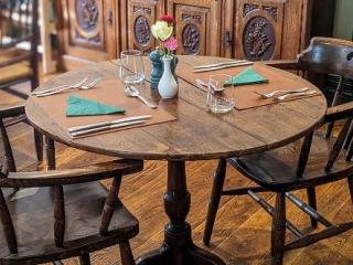
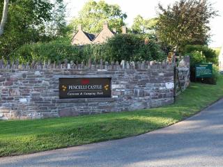
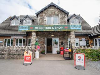
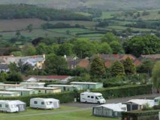
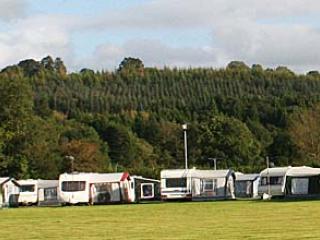
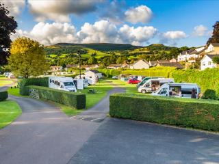
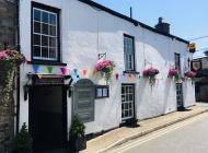
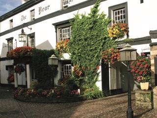
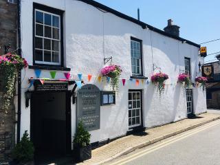
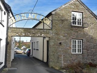
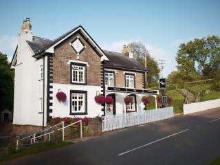
Nearby places to stay
View all (8)


- Launderette
- Ice pack facility
- Picnic Area
- Shop onsite