The Pen y Fan pilgrimage
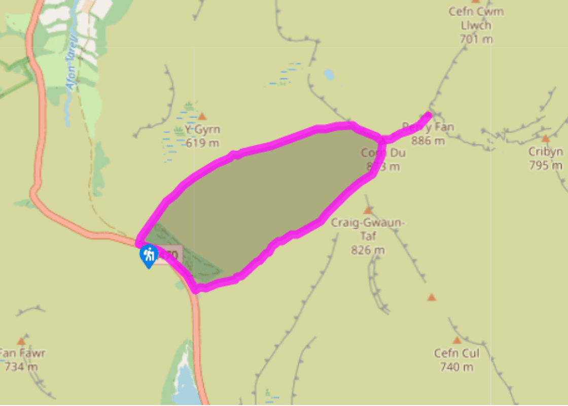
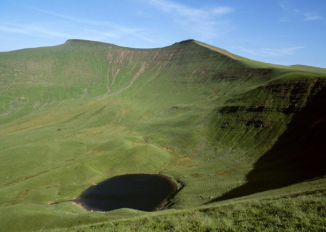
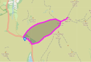
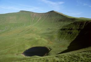
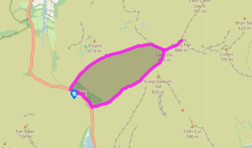
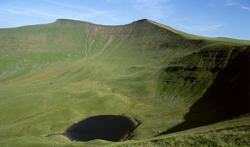
Cross the road and go through the gate next to the telephone box. The large building to your right is the Storey Arms, now an outdoor education centre but once a wayside inn on the coaching road between Brecon and South Wales. The original road can be seen forking off to your left, forming a section of the Taff Trail, a long distance route between Cardiff and Brecon. Follow a clear path up the hillside, leaving the plantation behind and crossing the open moorland of the southern flanks of Y Gyrn – a rounded summit to your left. You’ll soon gain the ridge and go through a kissing gate to drop easily down to the infant Taf Fawr – a pleasant and sheltered spot, ideal for a break before you reach the exposed hilltops above. The way ahead is clear, with a manmade track climbing steeply up the hillside opposite. Follow this, keeping straight ahead at a fork near the top, until it reaches the escarpment edge above the magnificent valley of Cwm Llwch. Below you’ll see the glacierformed lake of Llyn Cwm Llwch, and above this the steep head wall that unites the twin peaks./p>
Turn right to follow the clear path up towards the rocky ramparts of Corn Du. The path slips easily around the craggy outcrops and leads you up to the huge cairn on top of the broad summit plateau. The views down the valley are awesome, but take care as some of the summit rocks pretty much overhang the chasm below

Been on this walk?
Send us photos or a comment about this route. Or recommend a route of your own.

Walking in Safety
Read our tips to look after yourself and the environment when following this walk.

Get an AA guide
Explore our range of ‘50 Walks in’ guides - they’re the ideal companion for a ramble.
Been on this walk?
Send us photos or a comment about this route. Or recommend a route of your own.
Walking in Safety
Read our tips to look after yourself and the environment when following this walk.
Get an AA guide
Explore our range of ‘50 Walks in’ guides - they’re the ideal companion for a ramble.

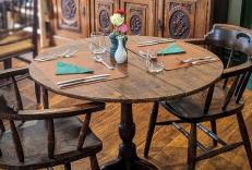
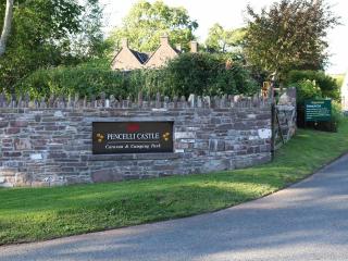
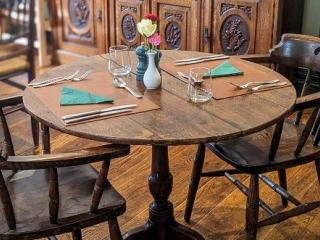
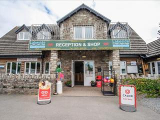
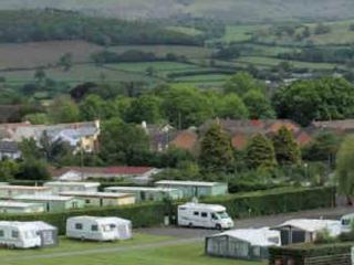
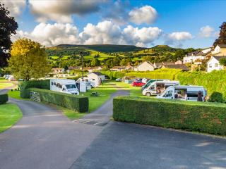
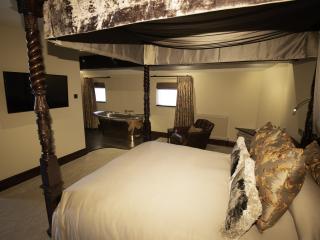
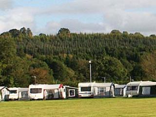
Nearby places to stay
View all (8)

- Launderette
- Ice pack facility
- Picnic Area
- Shop onsite