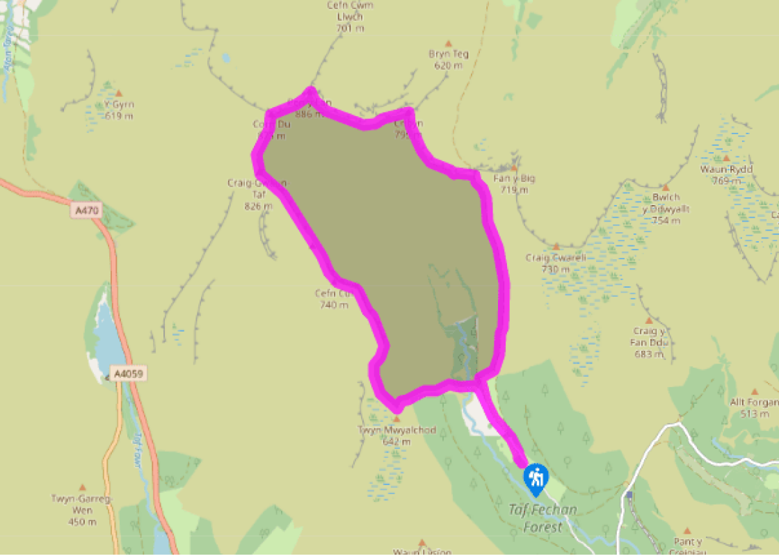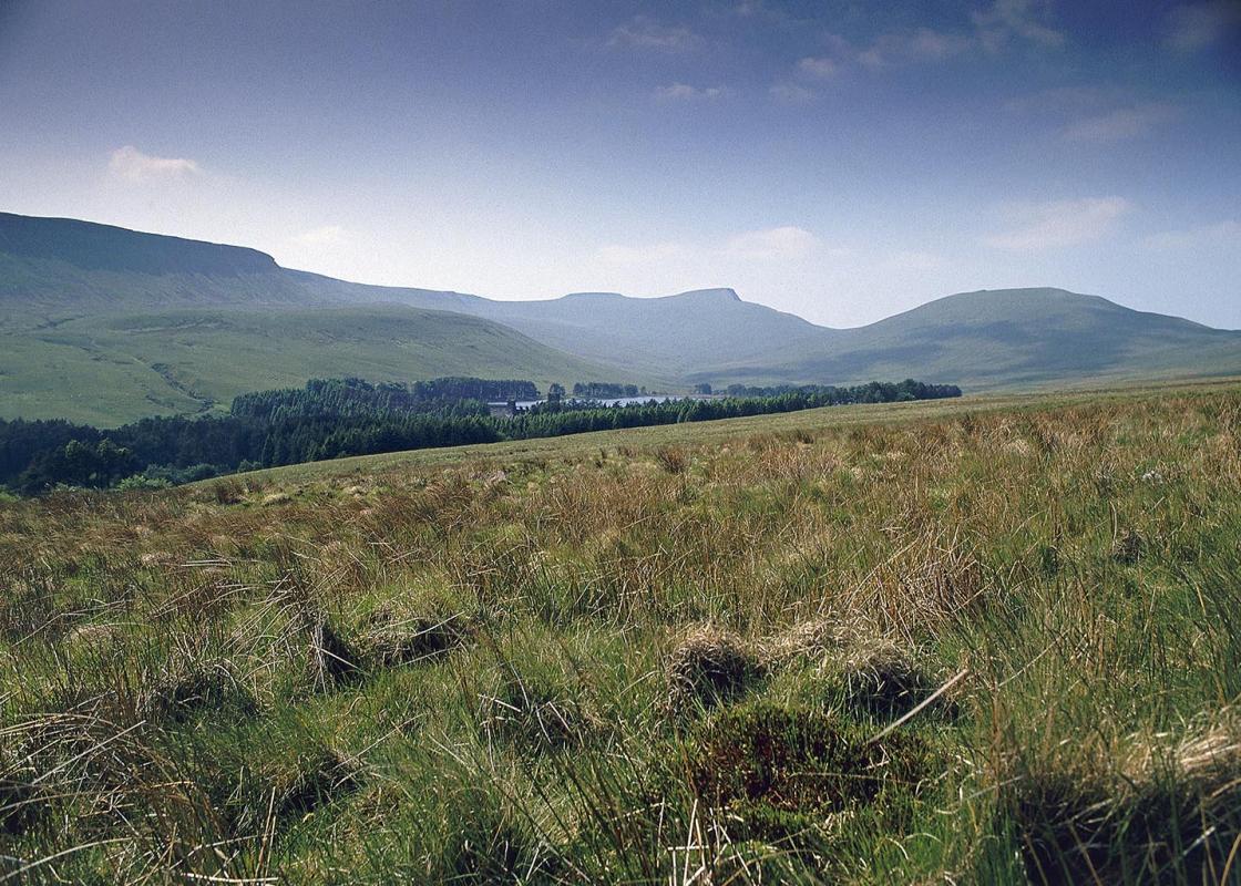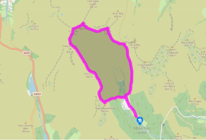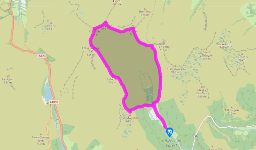
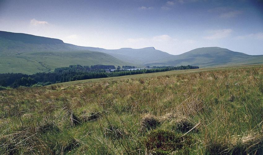
The Taf Fechan Valley
Leave the car park by the far end and head along the road to a gate. Just before it, take a stony track that bears off to the right. Pass through a gate and over a stream in a gully before turning left at a fork to go downhill to another gate. Go through this and turn left to yet another gate. Don’t go through this but turn right down a path next to it. Cross the road at the bottom, turn right and, after a few paces, turn left down a path immediately after a Neuadd Reservoir sign. This path bends down to the right of a derelict building to a small footbridge. Climb up on to the bank opposite and bear left to walk along its top. This will take you to a gate that leads out on to open moorland.
Go through this and keep straight ahead, taking the left-hand of the two tracks, which leads uphill towards the edge of a mainly felled forest. Follow the clear track up, with the forest to your left, and then climb steeply up a stony gully to the top of the escarpment.

Been on this walk?
Send us photos or a comment about this route. Or recommend a route of your own.

Walking in Safety
Read our tips to look after yourself and the environment when following this walk.

Get an AA guide
Explore our range of ‘50 Walks in’ guides - they’re the ideal companion for a ramble.
Been on this walk?
Send us photos or a comment about this route. Or recommend a route of your own.
Walking in Safety
Read our tips to look after yourself and the environment when following this walk.
Get an AA guide
Explore our range of ‘50 Walks in’ guides - they’re the ideal companion for a ramble.

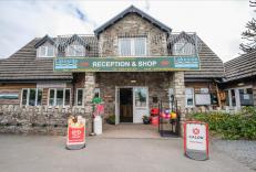
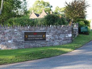
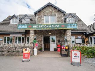
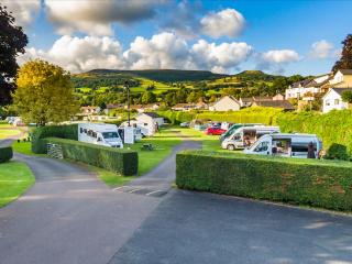
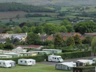
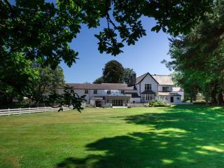
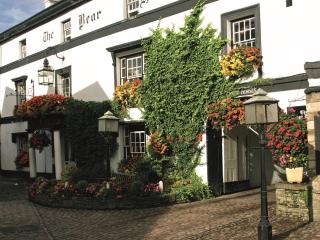
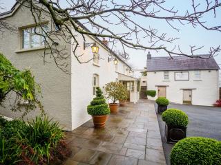
Nearby places to stay
View all (8)

- Launderette
- Ice pack facility
- Picnic Area
- Shop onsite