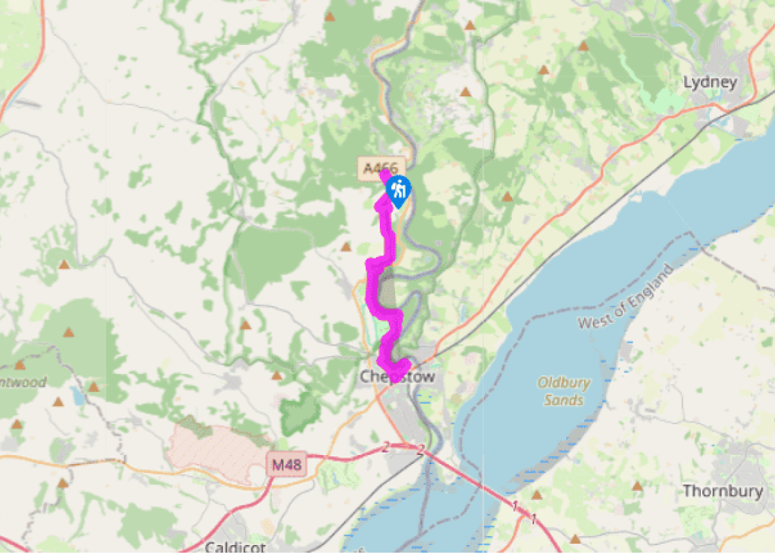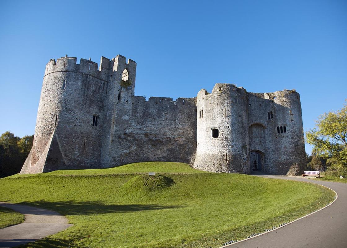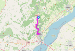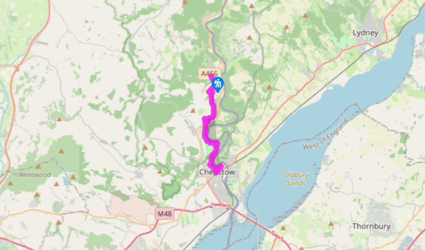
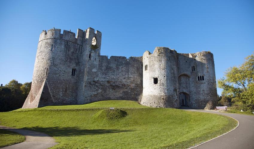


Tintern Abbey to Chepstow
The best way to join the Wye Valley Walk (WVW) from the abbey is to head out of the car park and keep straight ahead alongside the river bank on a drive that runs between houses, and then bear left past a converted church. This leads up to the main A466, where you’ll see two small lanes heading uphill opposite you. Take the left lane (as you look at them) and follow this uphill until it ends and you bear right up a stony track. Keep heading up through a canopy of beech trees until, after 0.5 miles (800m), you see a waymarker that directs you across a small stream on the left. Cross this and follow the narrow path up to a gate that leads on to an open hillside. Cross the field to another gate that takes you back into the wood.
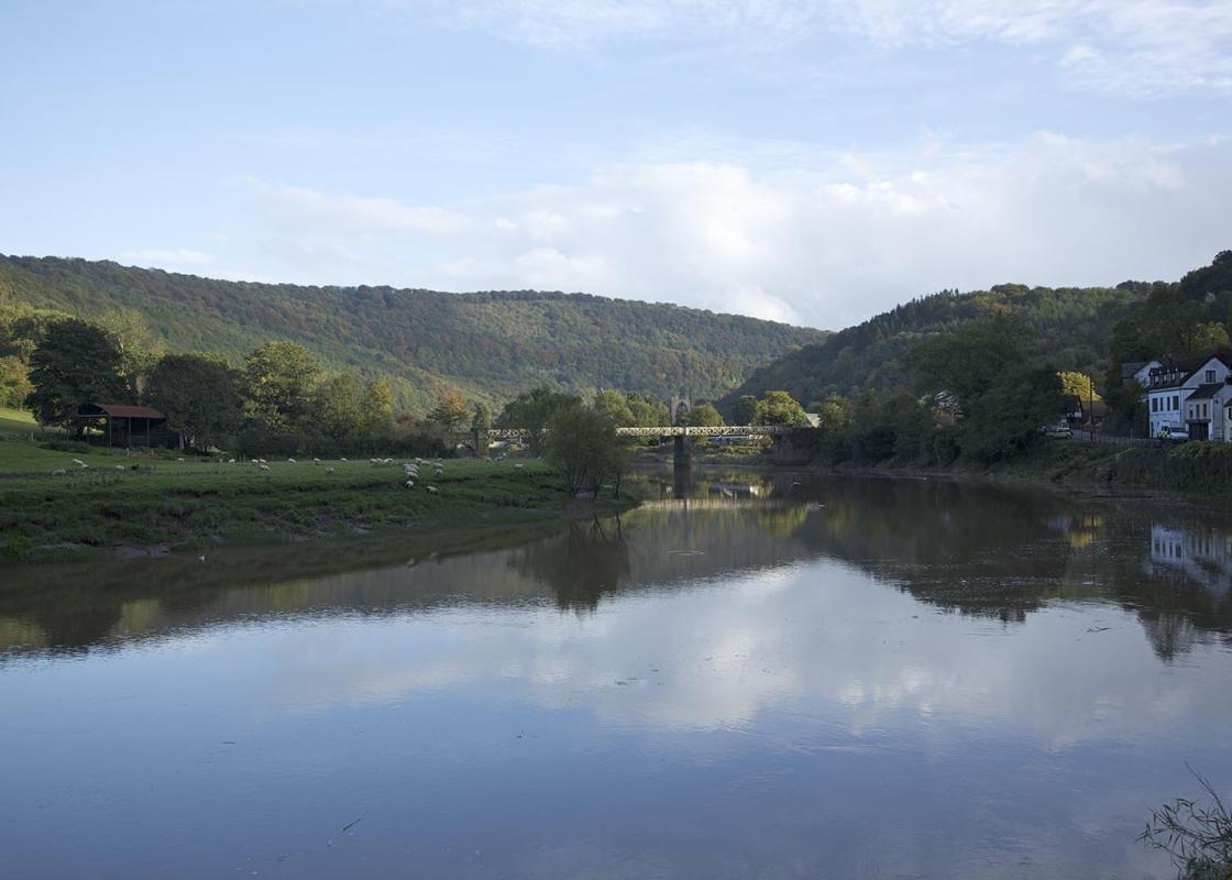
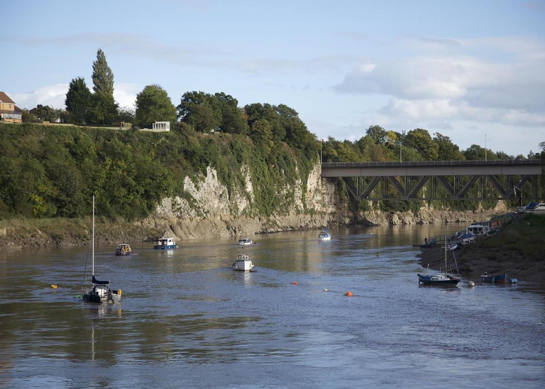
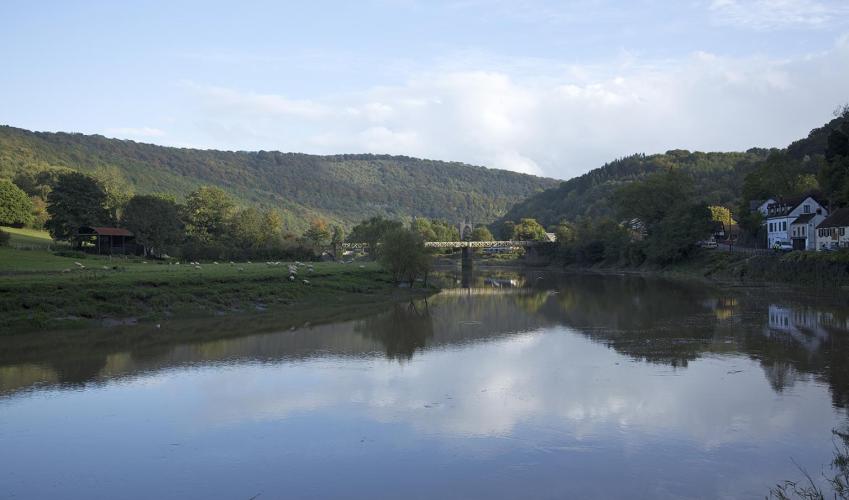
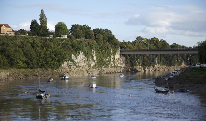
Turn immediately right and the path now steepens and carries you up on to a narrow wooded ridge above Black Cliff. Bear left when it levels to climb steeply again, then continue for another 0.75 miles (1.2km) to a crossroads of paths. Keep straight ahead to continue above Wyndcliff to a fingerpost that directs you to the airy viewpoint of Eagle’s Nest. The river curls in a series of meanders and you should be able to see the limestone cliffs of Wintour’s Leap on the far bank. These are popular rock climbing crags and also mark the route of the Offa’s Dyke footpath, which runs along their tops. Head back up to the main path and continue to a car parking area, where you turn sharp left to go downhill, via a series of zig-zags, to the A466. Cross the road to another car parking area.

Been on this walk?
Send us photos or a comment about this route. Or recommend a route of your own.

Walking in Safety
Read our tips to look after yourself and the environment when following this walk.

Get an AA guide
Explore our range of ‘50 Walks in’ guides - they’re the ideal companion for a ramble.
Been on this walk?
Send us photos or a comment about this route. Or recommend a route of your own.
Walking in Safety
Read our tips to look after yourself and the environment when following this walk.
Get an AA guide
Explore our range of ‘50 Walks in’ guides - they’re the ideal companion for a ramble.
Nearby places to stay
View all (8)