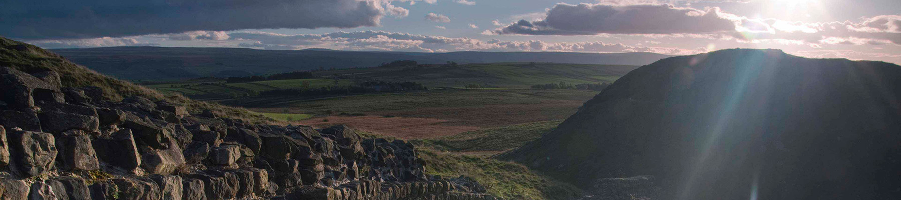
Exploring the Breamish Valley
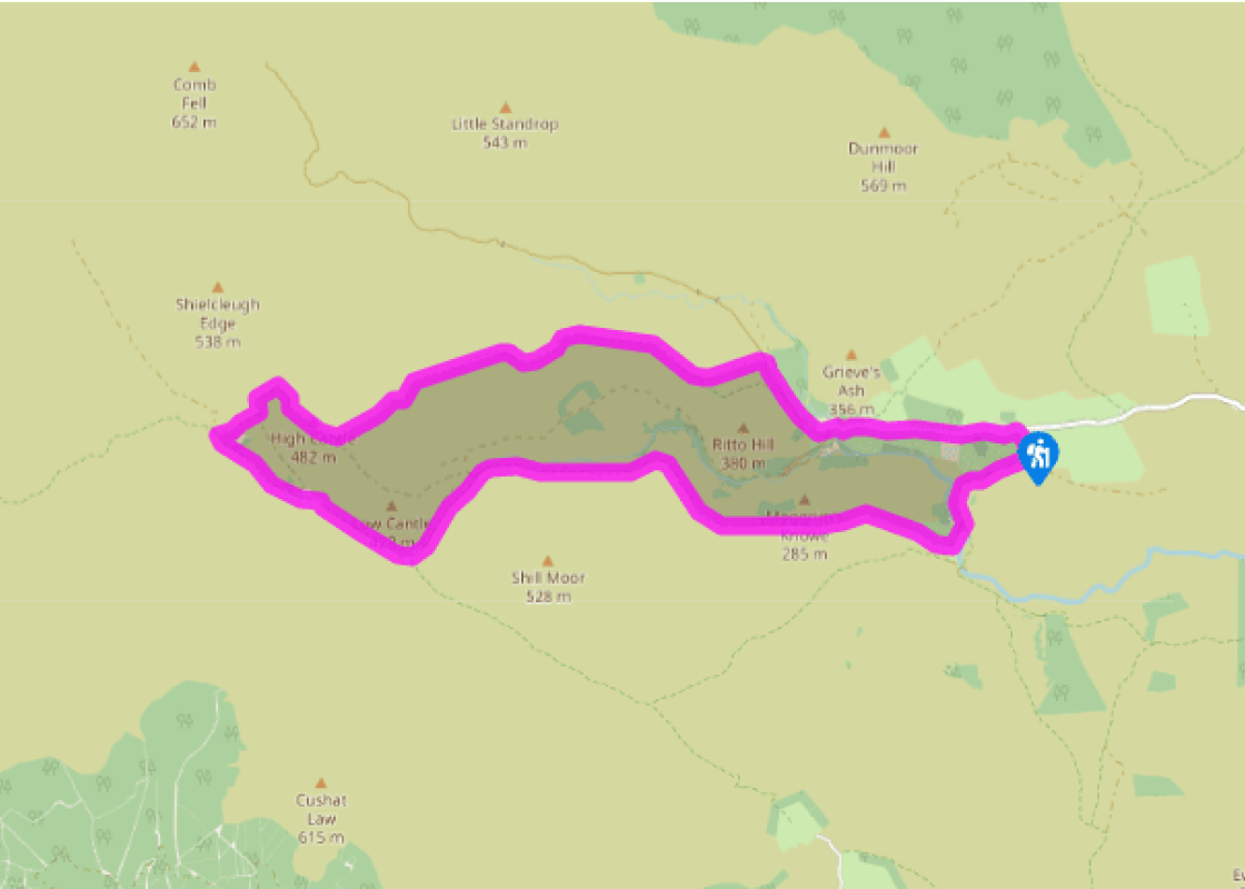
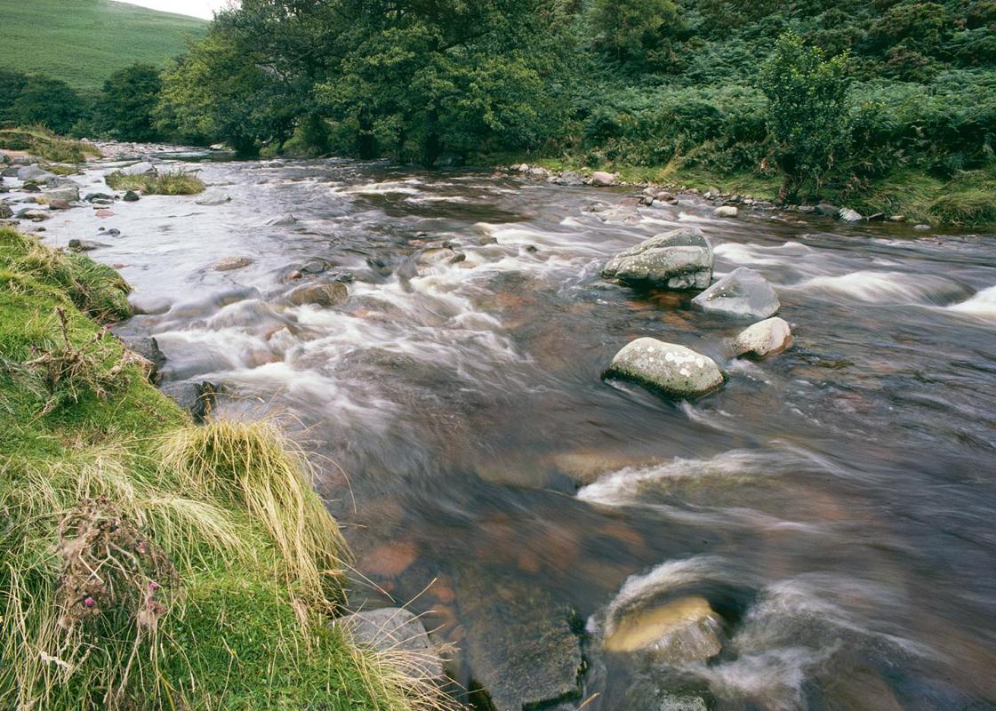
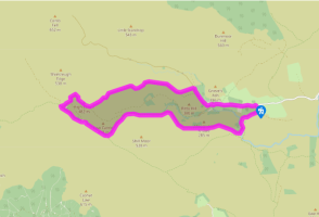
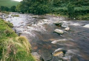
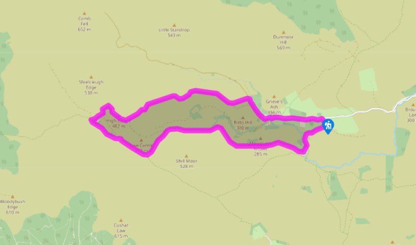
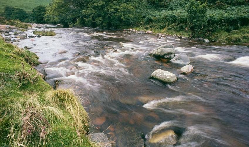
Just beyond the roadside parking at Hartside, turn left off the lane onto a track signed to Alnhammoor. Dropping to a bend, it swings below the slopes of Hartside Hill and then turns again to run above the River Breamish. Follow it over a bridge, climbing towards Alnhammoor Farm. However, before reaching the buildings, leave the track to a stile beside a gate on the left. Cross a rough enclosure below the farmhouse, exiting through a small gate in the far left corner onto another track. Climb right past the farm, keeping ahead where the track then turns into a yard. Carry on to the corner of the fence and then bear right to a wall stile, crossing back out to the main track.
Follow it left for 3 miles (4.8km), climbing past Meggrim's Knowe and continuing around the northern flank of Shill Moor. Beyond Snout End the way gradually falls into the narrow valley, running on above the river to Low Bleakhope. Approaching the farm, fork right and carry on up the glen, later crossing a bridge to reach High Bleakhope. Keep ahead beyond the buildings, the track degrading to gravel, and walk for another 0.5 miles (800m) beyond two small plantations.

Been on this walk?
Send us photos or a comment about this route. Or recommend a route of your own.

Walking in Safety
Read our tips to look after yourself and the environment when following this walk.

Get an AA guide
Explore our range of ‘50 Walks in’ guides - they’re the ideal companion for a ramble.
Been on this walk?
Send us photos or a comment about this route. Or recommend a route of your own.
Walking in Safety
Read our tips to look after yourself and the environment when following this walk.
Get an AA guide
Explore our range of ‘50 Walks in’ guides - they’re the ideal companion for a ramble.
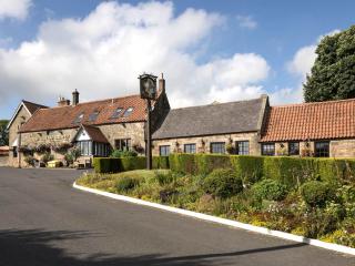
Nearby places to stay
View all (8)