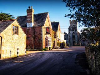
Shalfleet and Newtown Estuary
Recommended by

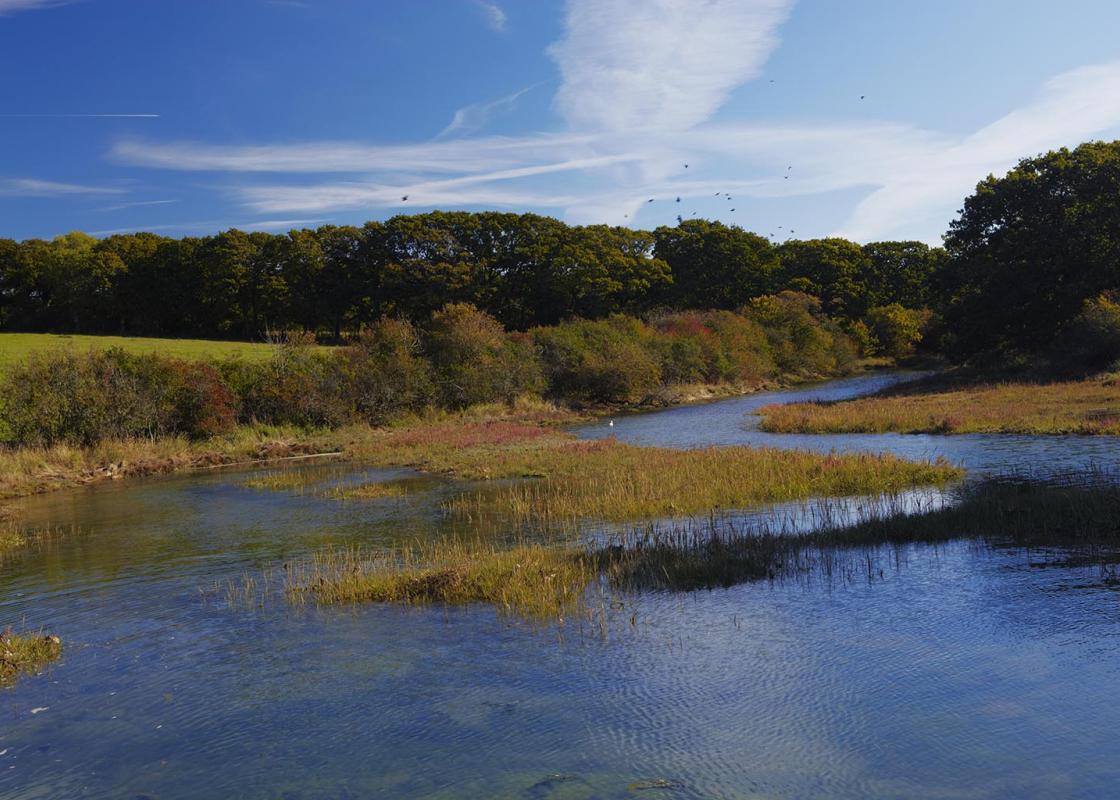
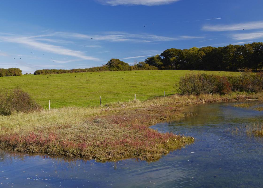
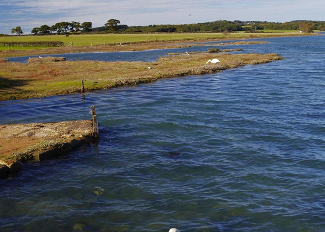
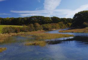
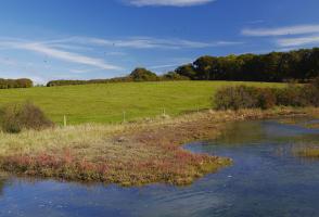
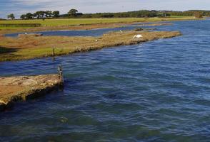
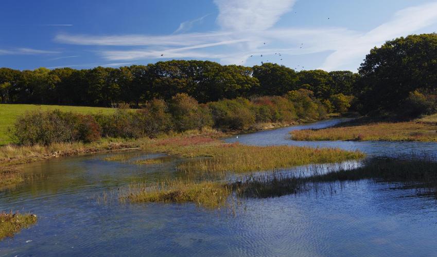
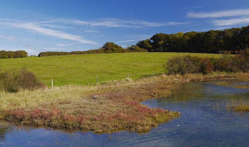
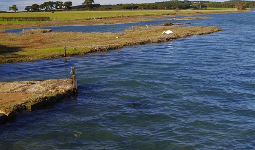
"Discover the history of the island's former capital and birdlife on the salt marshes and creeks of the Newtown Estuary."
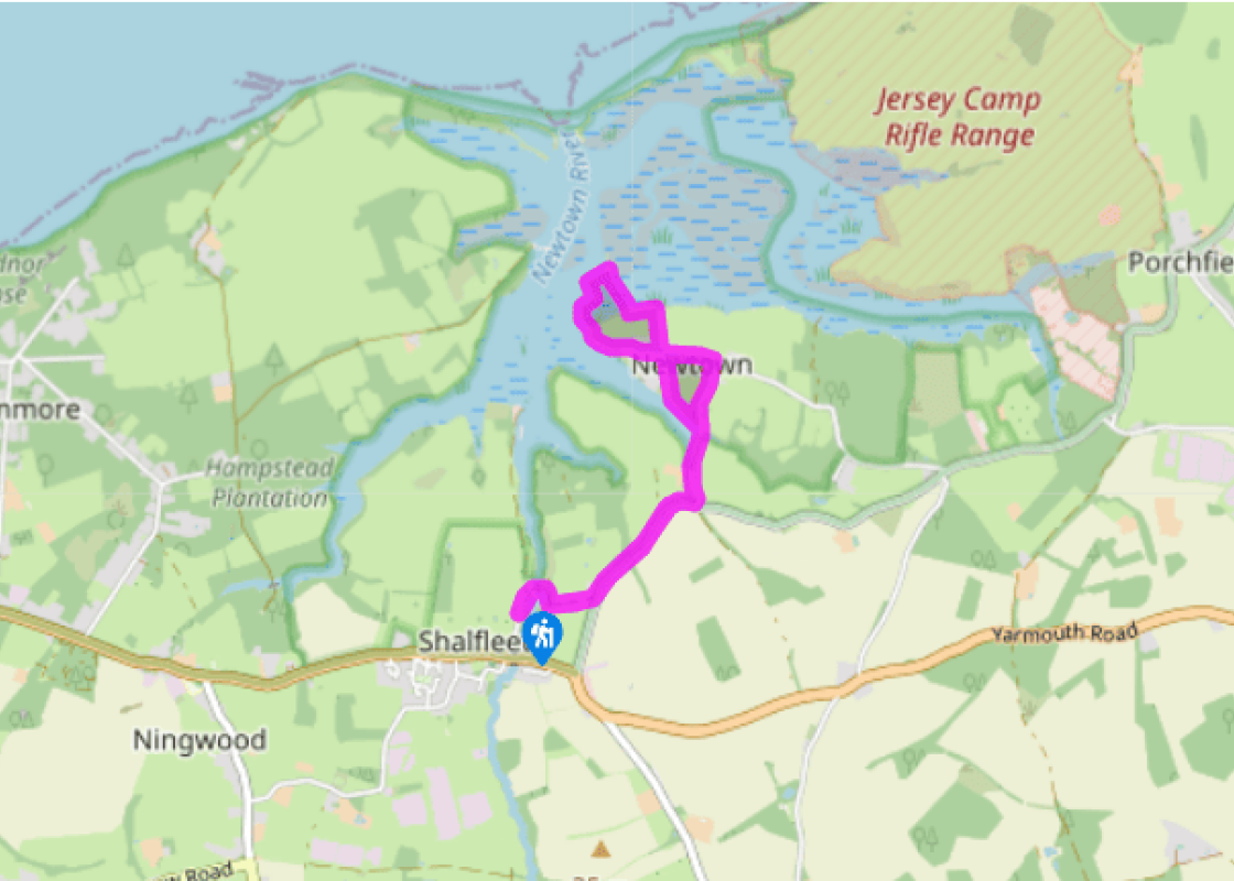
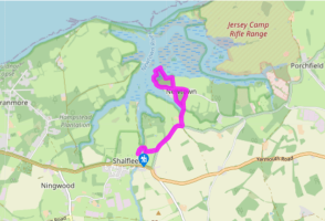
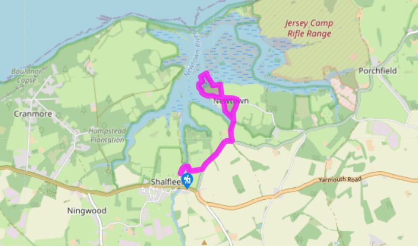
Walk directions
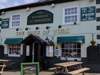
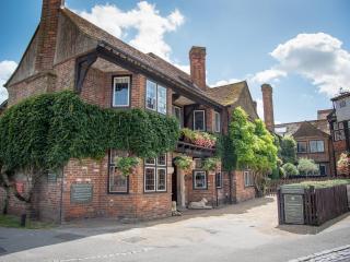
Park on roadside beyond The New Inn and walk up Mill Road, then turn right at the fork to pass Shalfleet Mill. Cross the footbridge and follow the path up through woodland, swinging right and then left. Bear left and follow the drive to a road.
Turn left past Corf Farm and keep to the road for 700yds (640m) then turn left along Town Lane, signed to Newtown.
View all directions
Additional information
Terrain
- Tracks, field paths, raised dykes and some roads, 2 stiles
Landscape
- Gently rolling farmland, woodland and salt marsh
Dog friendliness
- Keep dogs under control
Parking
- Parking at start on Mill Road
Toilets en route
- National Trust toilets in Old Town Hall car park; donation appreciated
About the walk
The Isle of Wight village of Shalfleet developed where the Caul Bourne widens into a creek at the head of the Newtown Estuary. Take a look at the church on the other side of the A3054, with its impressive, fort-like tower, built in the 11th century with 5ft (1.5m)-thick walls and used as a refuge...
Read more

Been on this walk?
Send us photos or a comment about this route. Or recommend a route of your own.

Walking in Safety
Read our tips to look after yourself and the environment when following this walk.

Get an AA guide
Explore our range of ‘50 Walks in’ guides - they’re the ideal companion for a ramble.
Been on this walk?
Send us photos or a comment about this route. Or recommend a route of your own.
Walking in Safety
Read our tips to look after yourself and the environment when following this walk.
Get an AA guide
Explore our range of ‘50 Walks in’ guides - they’re the ideal companion for a ramble.
About the area
Small and intimate – at just 23 miles by 13 miles, the Isle of Wight is a popular holiday destination; with its mild climate, long hours of sunshine and colourful architecture, it has something of a continental flavour. Visitors can walk along the island’s varied coastline using the well-established Coast Path or step back in time to explore the island’s history at some of the forts and castles.

Nearby places to stay
View all (8)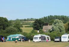
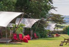
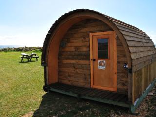
Caravan & Camping
The Orchards Holiday Caravan Park

- Launderette
- Ice pack facility
- Cafe/Restaurant
- Picnic Area


Nearby places to stay
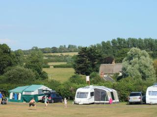
The Orchards Holiday Caravan Park
A really excellent, well-managed park set in a peaceful village location amid downs and meadowland, with glorious downland views. The pitches are terraced and offer a good provision of ...
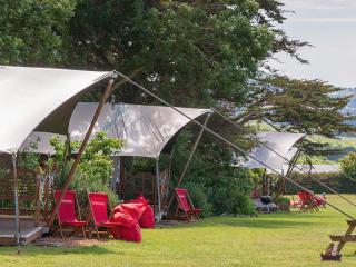
Tom's Eco Lodge
Situated on Tapnell Farm with plenty of space to roam, sandy beaches nearby and wonderful sea vistas and views of the west of the Isle of Wight, Tom’s Eco Lodges take glamping to the ne...
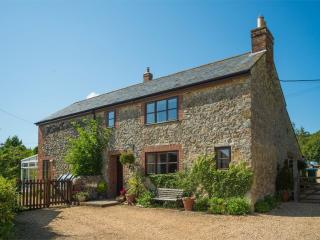
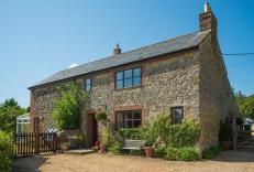
Dairy Cottage at Luckington Farm
This lovely holiday cottage, converted from a dairy, is on a farm in the outskirts of the village of Carisbrooke, within walking distance of Carisbrooke Castle (begun in the 12th centur...
Dairy Cottage
This lovely holiday cottage, converted from a dairy, is on a farm in the outskirts of the village of Carisbrooke, within walking distance of Carisbrooke Castle (begun in the 12th centur...
Grange Farm
This family-run site is set in a stunning location on the south-west coast of the island in Brighstone Bay. The range of facilities is very good. For children there is an imaginative pl...
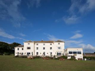
Freshwater Bay House
Perched atop white cliffs overlooking the eponymous bay, Freshwater Bay House sits in extensive gardens leading onto the coastal path and beach. The property offers comfortable, pleasan...
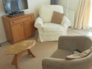
Brambles Chine 157
An attractive property with lovely sea views, BC157, Brambles Chine offers two bedrooms and a homely living/dining area with a well-equipped kitchen. Patio seating is provided. Located ...
157 Brambles Chine
An attractive property with lovely sea views, BC157, Brambles Chine offers two bedrooms and a homely living/dining area with a well-equipped kitchen. Patio seating is provided. Located ...
Places to eat nearby View all