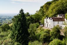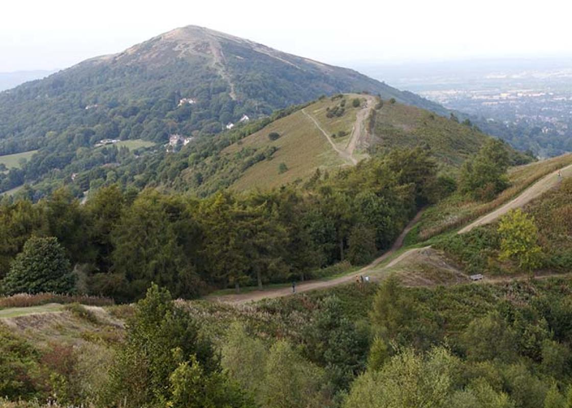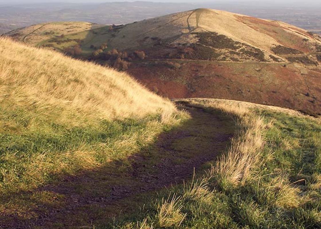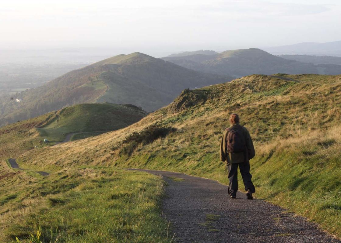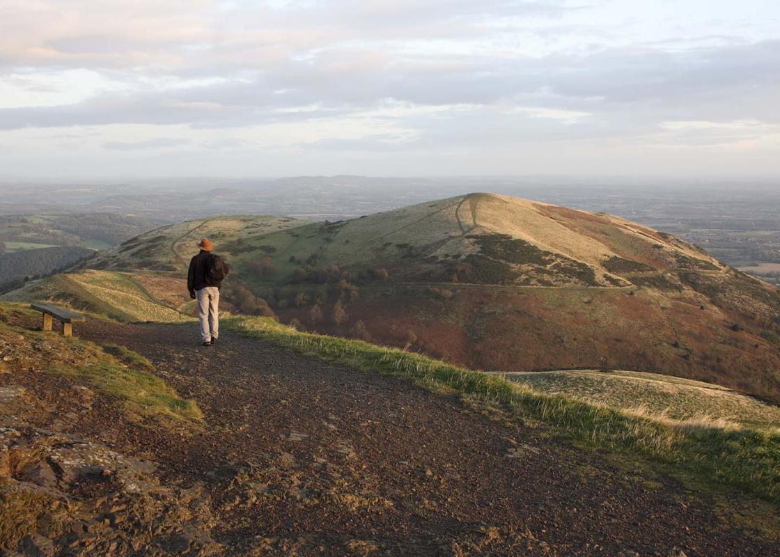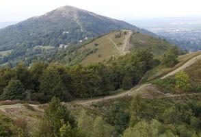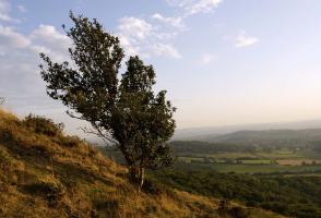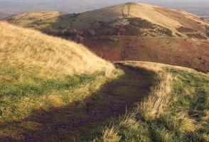
The Malvern Hills
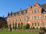
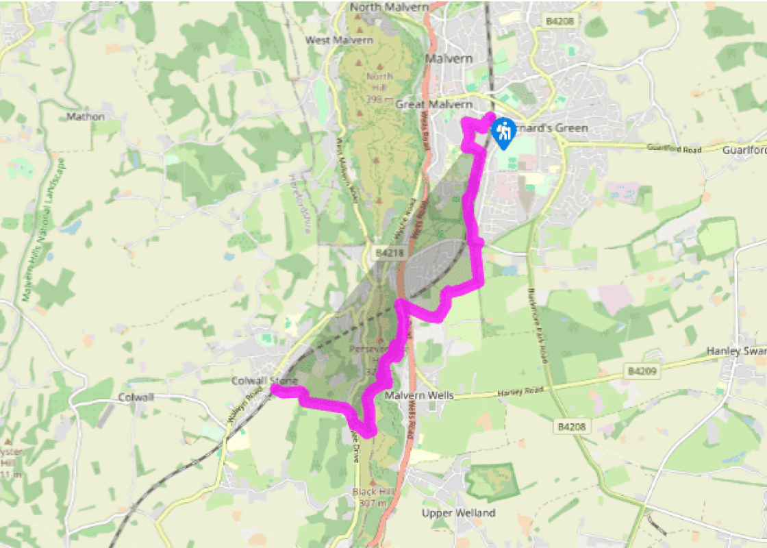
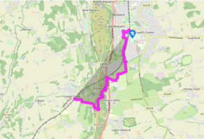
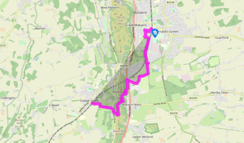
From Great Malvern Station go ahead; then left in 30yds (27m) into Imperial Road. Cross Tibberton Road, turning right up Clarence Road. At the skew junction turn back-left into Albert Road South. At the end turn left. Beside the railway bridge take a leafy pathway right, passing the extensive modern buildings of Malvern College. Cross the next road, then skirt the lower edge of Malvern Common. In 600yds (549m), at a dip and just by ‘60’ on the track, pass under the railway. In 200yds (182m) drift left to a post box and road junction.
Cross the larger road to a fingerpost and fork right, through trees to a wide gate beside a garden, joining a dismantled railway. Descend wooden steps in 375yds (342m) and turn right to follow blue waymark discs (on white posts) across several fairways of the Worcestershire Golf Club. In dense woodland turn left – this track leads to the clubhouse and car park. Go diagonally, to the far side of a white building. Cross carefully beside a green, then another fairway, to reach a wide fenced path up between fields, soon reaching the A449 by houses.

Been on this walk?
Send us photos or a comment about this route. Or recommend a route of your own.

Walking in Safety
Read our tips to look after yourself and the environment when following this walk.

Get an AA guide
Explore our range of ‘50 Walks in’ guides - they’re the ideal companion for a ramble.
Been on this walk?
Send us photos or a comment about this route. Or recommend a route of your own.
Walking in Safety
Read our tips to look after yourself and the environment when following this walk.
Get an AA guide
Explore our range of ‘50 Walks in’ guides - they’re the ideal companion for a ramble.
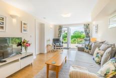
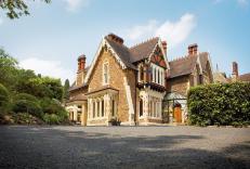
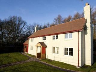
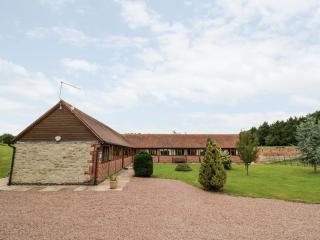
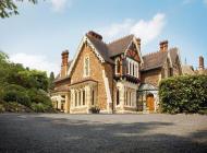
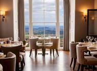
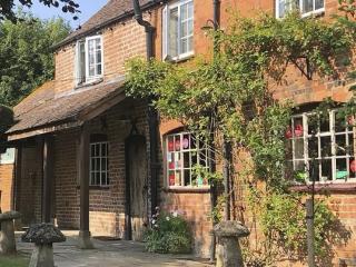
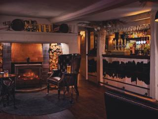
Nearby places to stay
View all (8)