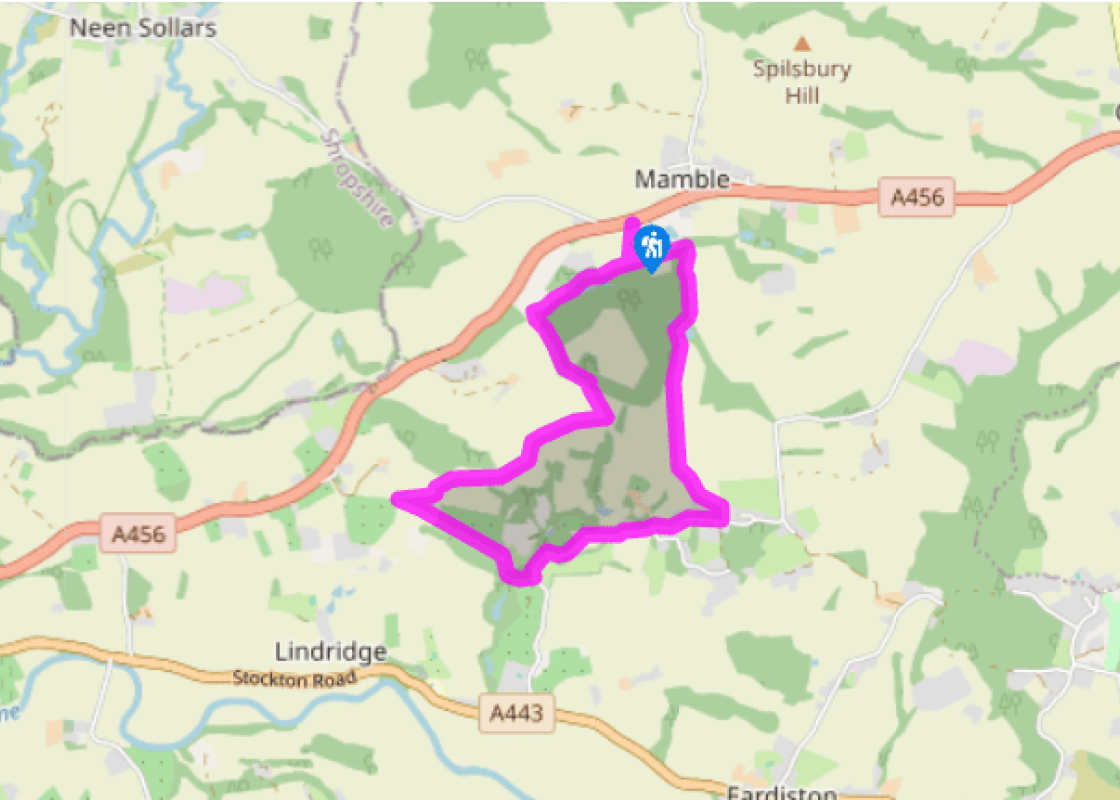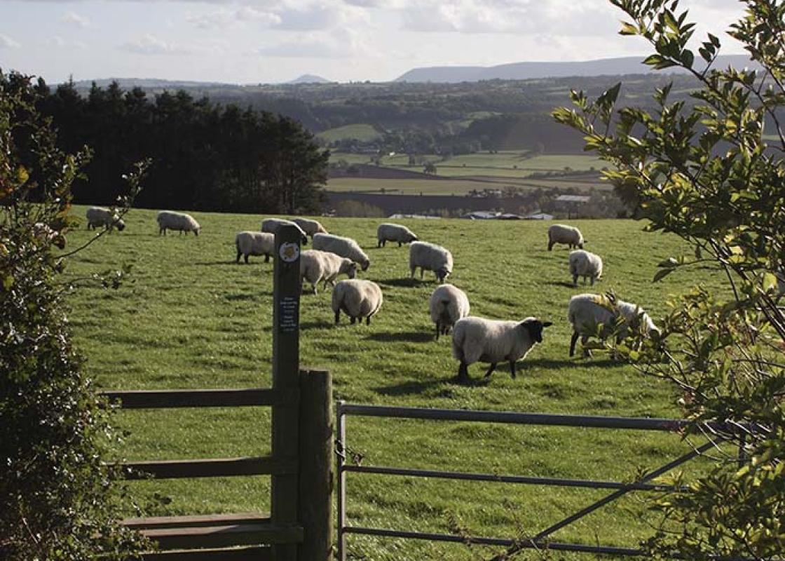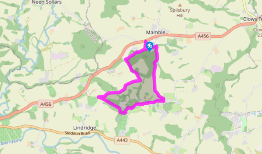
A short walk from Mamble
Go to the Tenbury Wells end of the lay-by. Take the gate nearest the road to walk down the left-hand field-edge. At the woodland turn right, shortly entering it by a stile. Go forward at a two-plank bridge. In 200yds (183m) cross pastures to join a cinder track by a white house.
Turn left for 75yds (69m). At a gate move right on a rising woodland track. At a corner stay in woodland, along a broad green path heading right, ignoring paths to the left. Fork right shortly before a gate. At this, ascend gently by taking the right fork (waymarker), aiming 50yds (46m) left of a skyline oak in a field. At the top turn right, staying within the field and following the hedge to a gateway beside a small, tree-screened dry pond.

Been on this walk?
Send us photos or a comment about this route. Or recommend a route of your own.

Walking in Safety
Read our tips to look after yourself and the environment when following this walk.

Get an AA guide
Explore our range of ‘50 Walks in’ guides - they’re the ideal companion for a ramble.
Been on this walk?
Send us photos or a comment about this route. Or recommend a route of your own.
Walking in Safety
Read our tips to look after yourself and the environment when following this walk.
Get an AA guide
Explore our range of ‘50 Walks in’ guides - they’re the ideal companion for a ramble.
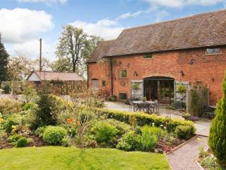
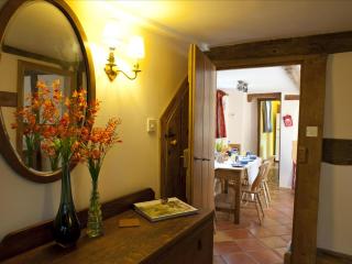
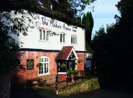
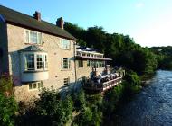
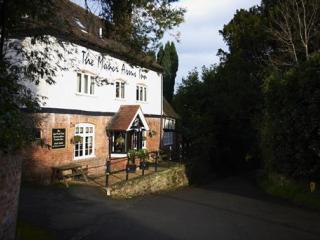
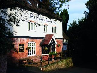
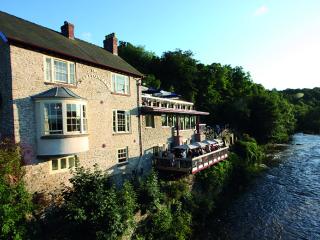
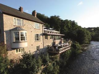
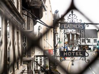
Nearby places to stay
View all (8)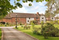


- Total units: 2
- Private garden
- Lawn area
- Garden furniture