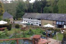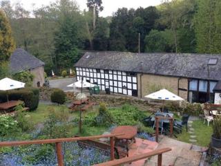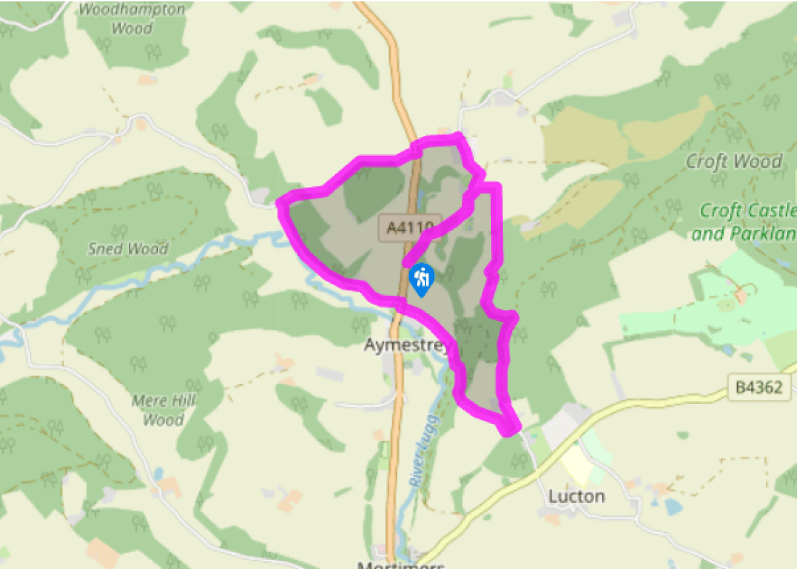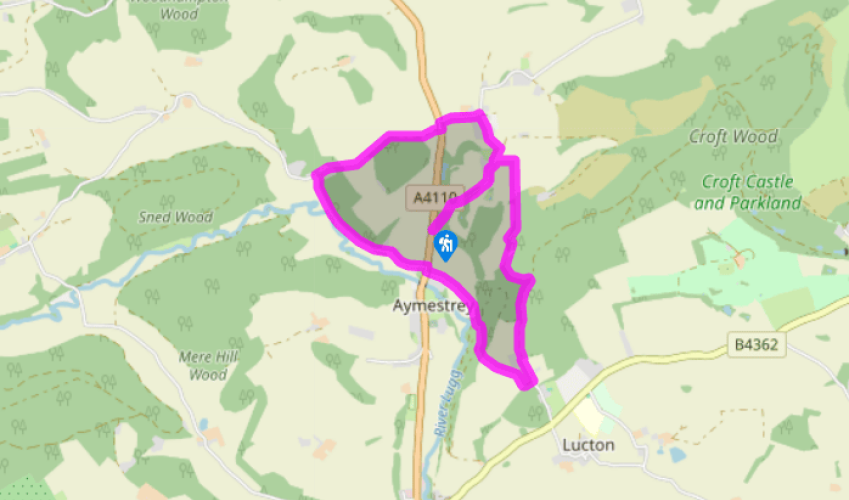
Aymestrey to Yatton
Walk up the access road for 750yds (686m), until just before a junction of tracks. Note a stile on the right – your route returns over this.
Turn left then, in 25yds (23m), curve right, passing a seemingly nameless house with a stone wall relic in its garden. Shortly curve left to walk through Yatton, to a T-junction. Turn left to the A4110. Cross directly to a stile, striking across this field to a gap. In the next field veer left to skirt round the right edge of (not over) an oak and ash embankment, to find a corner stile. Walk up the left edge of this field but, at the brow, where it bends for some 70yds (64m) to a corner, take a stile in the hedge to walk along its other side. Within 60yds (55m) you will be in a clear path, steeply down through woodland, a ravine on your left. Join a rough driveway to a minor road. (The glacial overflow channel is directly ahead.)

Been on this walk?
Send us photos or a comment about this route. Or recommend a route of your own.

Walking in Safety
Read our tips to look after yourself and the environment when following this walk.

Get an AA guide
Explore our range of ‘50 Walks in’ guides - they’re the ideal companion for a ramble.
Been on this walk?
Send us photos or a comment about this route. Or recommend a route of your own.
Walking in Safety
Read our tips to look after yourself and the environment when following this walk.
Get an AA guide
Explore our range of ‘50 Walks in’ guides - they’re the ideal companion for a ramble.
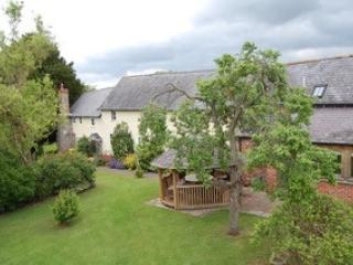
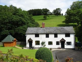
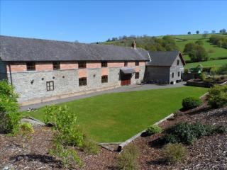
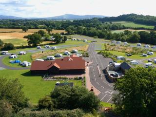
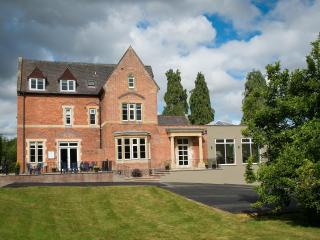
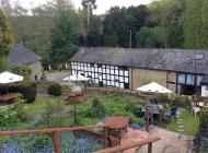
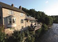
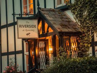
Nearby places to stay
View all (8)