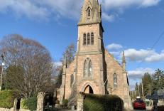
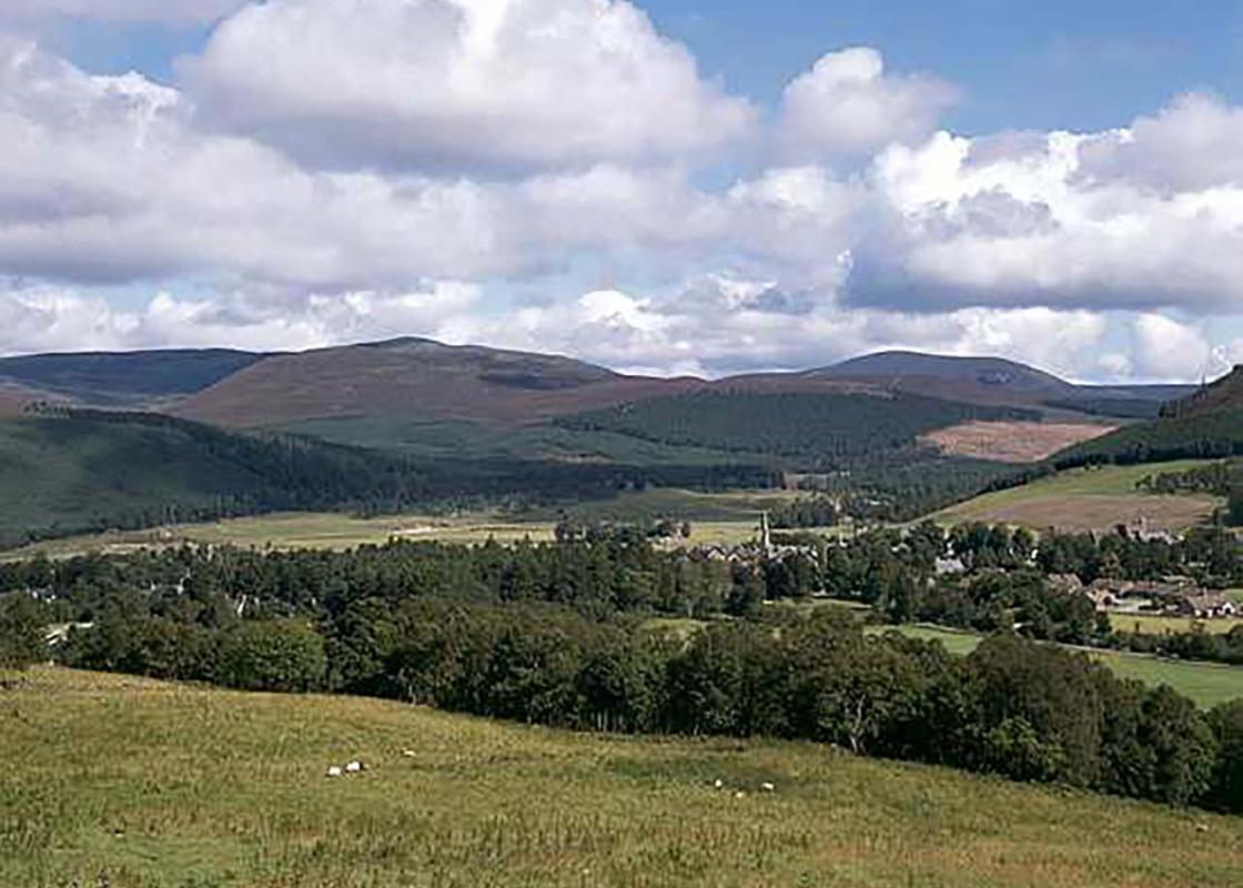
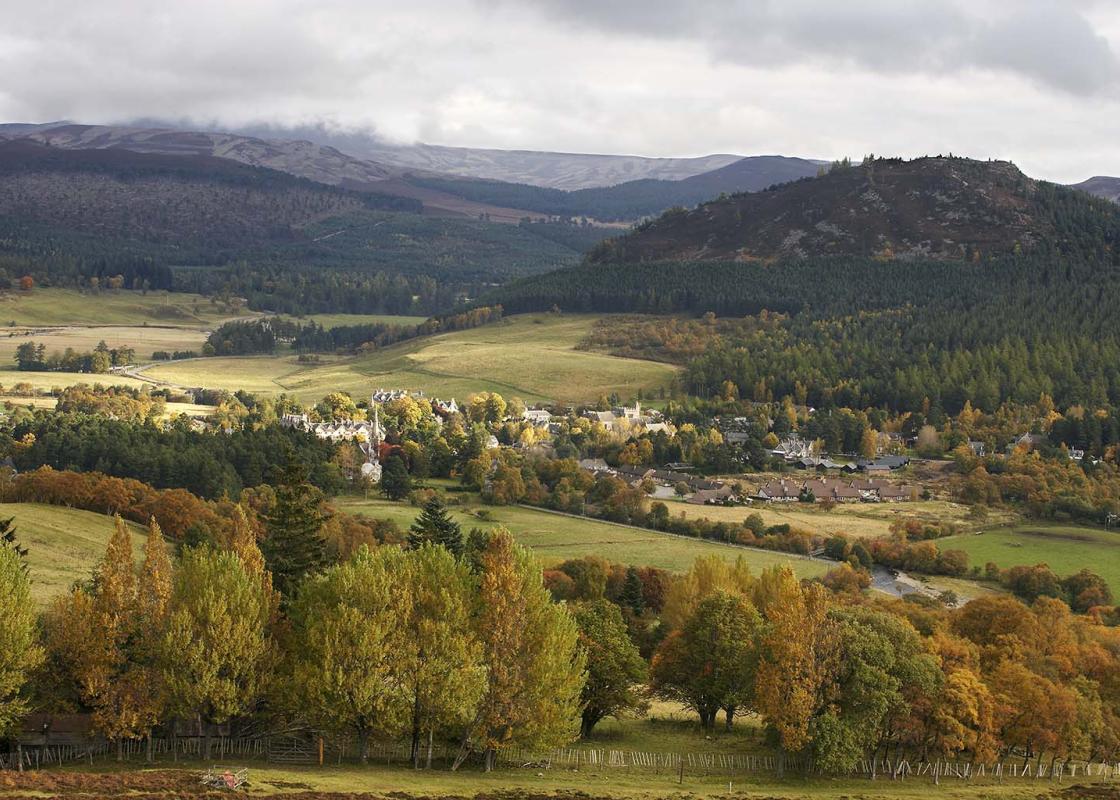
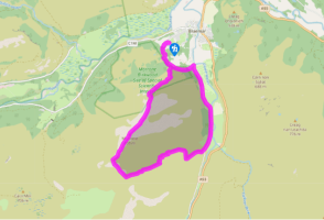
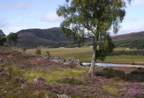
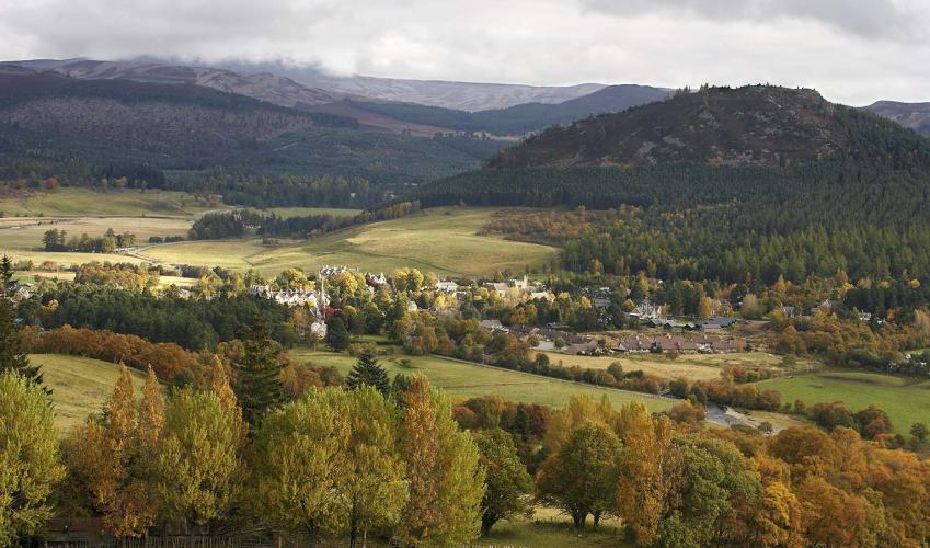
Moorland on Morrone
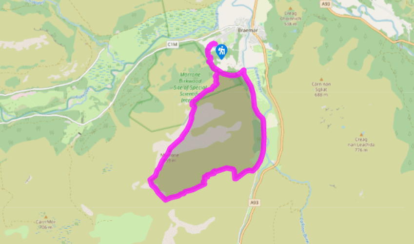
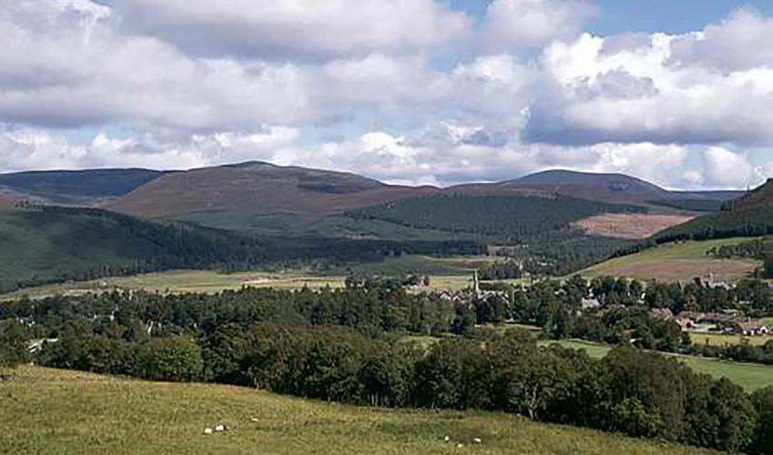
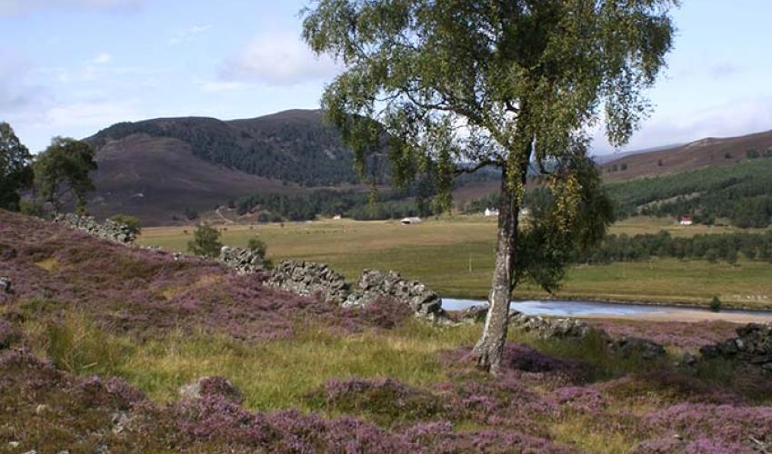
Take the wide track uphill, to the right of the duck pond at the top of Chapel Brae, bearing left following a signpost 'Morrrone'. When you see Woodhill house ahead, it can be bypassed by taking a small footpath on the right, which rejoins the track just above. When the track bends right, take a path up ahead to a viewpoint indicator.
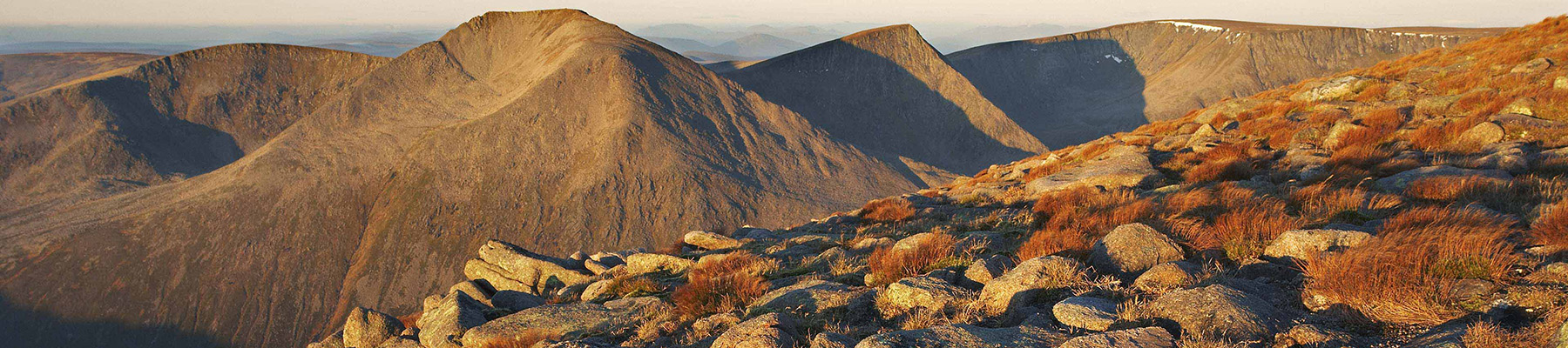
Cross a track diagonally to a hill path marked 'Morrone'. The path has been rebuilt with rough stone steps. Higher up, it slants to the right along a line of small rocky outcrops. At the top of this it turns directly uphill, passing five sprawling cairns. These are the turning point in the Morrone Hill Race that is part of the Braemar Games. The wide, stony path runs up to the radio mast and other ugly constructions on top of the summit.
The summit, if you turn your back on the buildings, has fine views across Deeside to the high Cairngorms. On the main tops, Ben Macdui and Beinn a'Bhuird, snow may show right through the summer. To the east you will see Loch Callater and the White Mounth plateau. A notable hump is Cac Carn Beag, one of the summits of Lochnagar. Morrone's summit area is bare stones, but if you go past the buildings you'll find the start of a wide track. It runs down to a shallow col, then bends left on its way to the cairn on the low summit beyond. Here it heads on down towards a lower col, but before reaching it, turns left again down the side of the hill. A gentle zig-zagging descent leads to the road by the Clunie Water.
Turn left, alongside the river, for 1.5 miles (2.4km). Ben Avon with its row of summit tors fills the skyline ahead. After a snow gate and golf clubhouse comes a road sign warning of a cattle grid (the grid itself is round the next bend). Here a track, back up to the left, has a blue-topped waymarker pole.
Go up between caravans to a gate in a deer fence. A faint path leads up under birches, bearing right away from the stream. After a gate in a fence the path becomes quite clear, leading to a Scottish Natural Heritage signboard and blue waymarker at the top of the birchwood. The path becomes a track with a fence on its right and, in 220yds (201m), reaches the viewpoint indicator, Point 2. From here you can return to the duck pond and the start of the walk.Â
Been on this walk?
Send us photos or a comment about this route. Or recommend a route of your own.
Walking in Safety
Read our tips to look after yourself and the environment when following this walk.
Get an AA guide
Explore our range of ‘50 Walks in’ guides - they’re the ideal companion for a ramble.
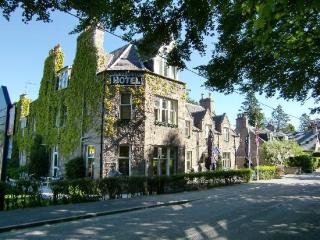
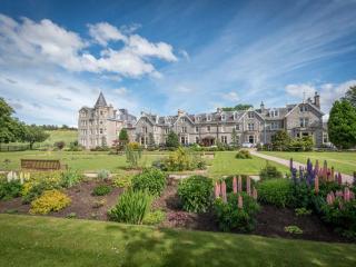
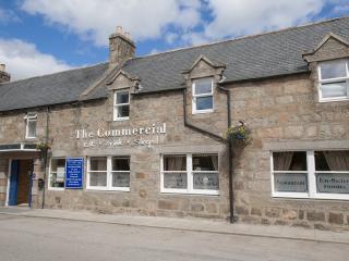
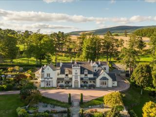
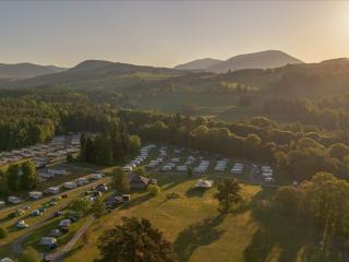
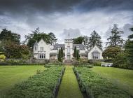
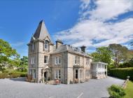
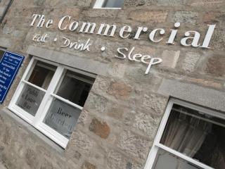
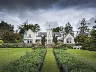
Nearby places to stay
View all (8)
- Rooms 7
- Free TV
- Wifi
- Open parking
- Rooms 45
- Satellite TV
- Free TV
- Direct Dial


