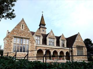
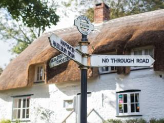
Minterne Magna and Hermitage
Recommended by

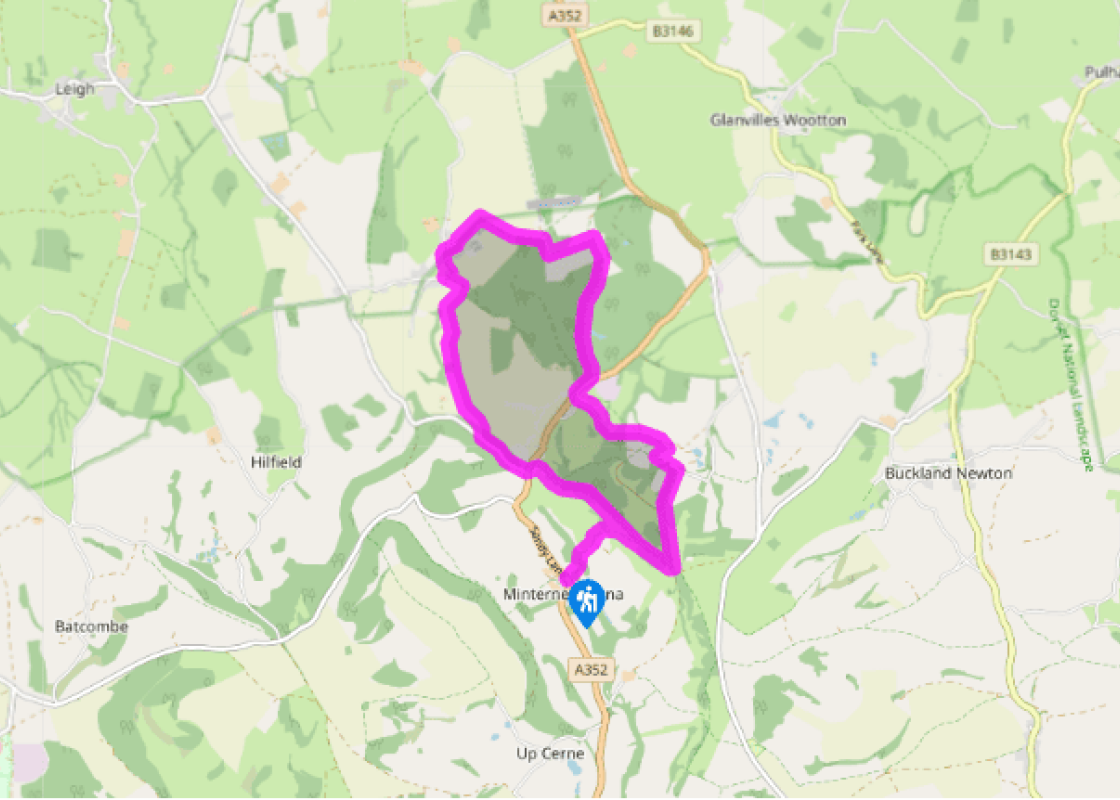
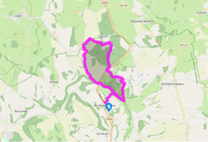
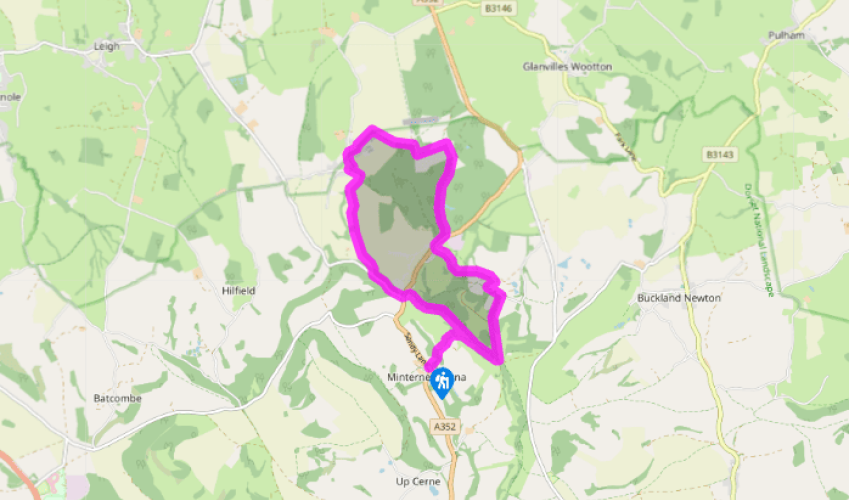
Walk directions
Opposite the car park, a track leaving beside the church drops across the River Cerne to climb Little Minterne Hill. Where it later swings right, bear left through a gate and continue up between fields. Beyond a second gate, slant uphill to the right, go through a gate and bear right again at a signpost. Follow the ridge track right for 0.25 miles (400m) to a bend.
Through gates on the left, strike half left across open pasture, enjoying the expansive view north over lush farmland. Shortly heading downhill, continue between fences, dropping beyond to join another track that leads on to Lyons Head Farm.
View all directions
Additional information
Terrain
- Tracks, woodland and field paths (not always clear), some lanes
Landscape
- Rolling farm and woodland
Dog friendliness
- Dogs on leads near grazing livestock
Parking
- Car park opposite church at Minterne Magna
Toilets en route
- None on route
About the walk
Often overlooked by those heading to the giant at Cerne Abbas, Minterne Magna is a delightful hamlet centred on a tiny church and fine manor house. It looks across the head of a peaceful valley in which the River Cerne springs, to the long ridge of Minterne Hill, while just to the north...
Read more

Been on this walk?
Send us photos or a comment about this route. Or recommend a route of your own.

Walking in Safety
Read our tips to look after yourself and the environment when following this walk.

Get an AA guide
Explore our range of ‘50 Walks in’ guides - they’re the ideal companion for a ramble.
Been on this walk?
Send us photos or a comment about this route. Or recommend a route of your own.
Walking in Safety
Read our tips to look after yourself and the environment when following this walk.
Get an AA guide
Explore our range of ‘50 Walks in’ guides - they’re the ideal companion for a ramble.
About the area
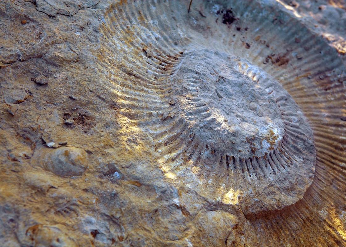
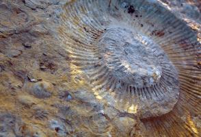
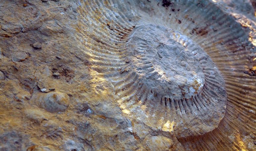
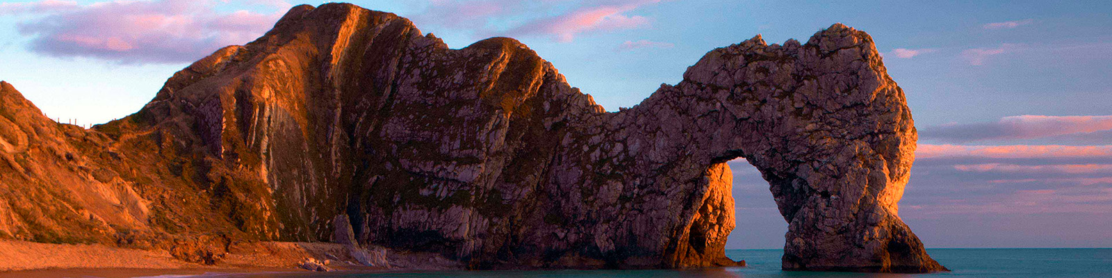
Dorset is made up of rugged coastlines, high chalk downlands and a chain of picturesque villages and seaside towns that make up Britain’s Jurassic Coast, a UNESCO World Heritage Site and Area of Outstanding Natural Beauty, noted for its layers of shale and numerous fossils embedded in the rock. Hidden gems of Dorset can be found down winding, country lanes that lead to snug villages hidden from view.
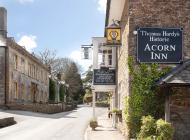
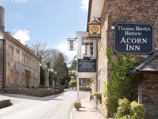
Nearby places to stay
View all (8)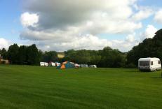
Caravan & Camping
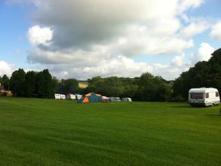
Giants Head Caravan & Camping Park

- Launderette
- Ice pack facility
- Picnic Area
- Calor Gas


Nearby places to stay
Giants Head Caravan & Camping Park
A pleasant and unspoilt park set in Dorset downlands near the Cerne Giant (the famous landmark figure cut into the chalk) and with stunning views. There are smart toilet and shower bloc...
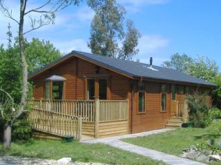
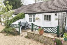
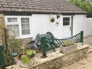
Otters Holt Lodge
Awaiting description...
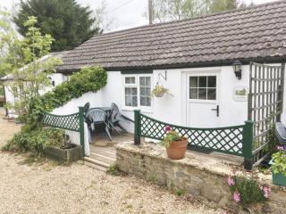
Toad Hall Cottage
Awaiting description...
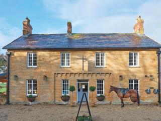
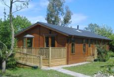
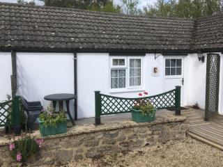
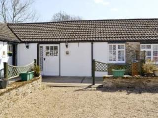
White Horse Farm
Located in the rural Dorset in the hamlet of Middlemarsh, near Sherborne, White Horse Farm comprises 4 barn cottages and a 3 bed roomed 4-star lodge cabin. They feature WiFi, BBQ, are d...
Badger's Cottage
Awaiting description...
Ratty's Cottage
Awaiting description...
Moley's Cottage
Awaiting description...
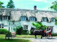
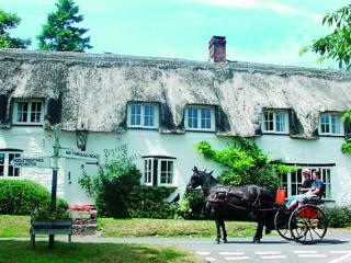
The Brace of Pheasants
Situated in the heart of Dorset, The Brace of Pheasants is a picturesque thatched pub that offers a warm and genuine welcome to both visitors and locals alike. Very much a traditional i...
Places to eat nearby View all