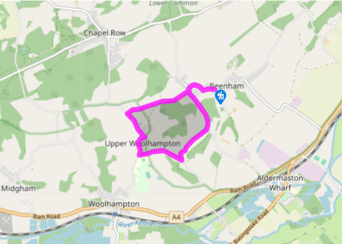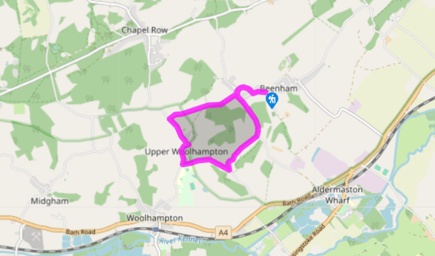
Around Douai Abbey
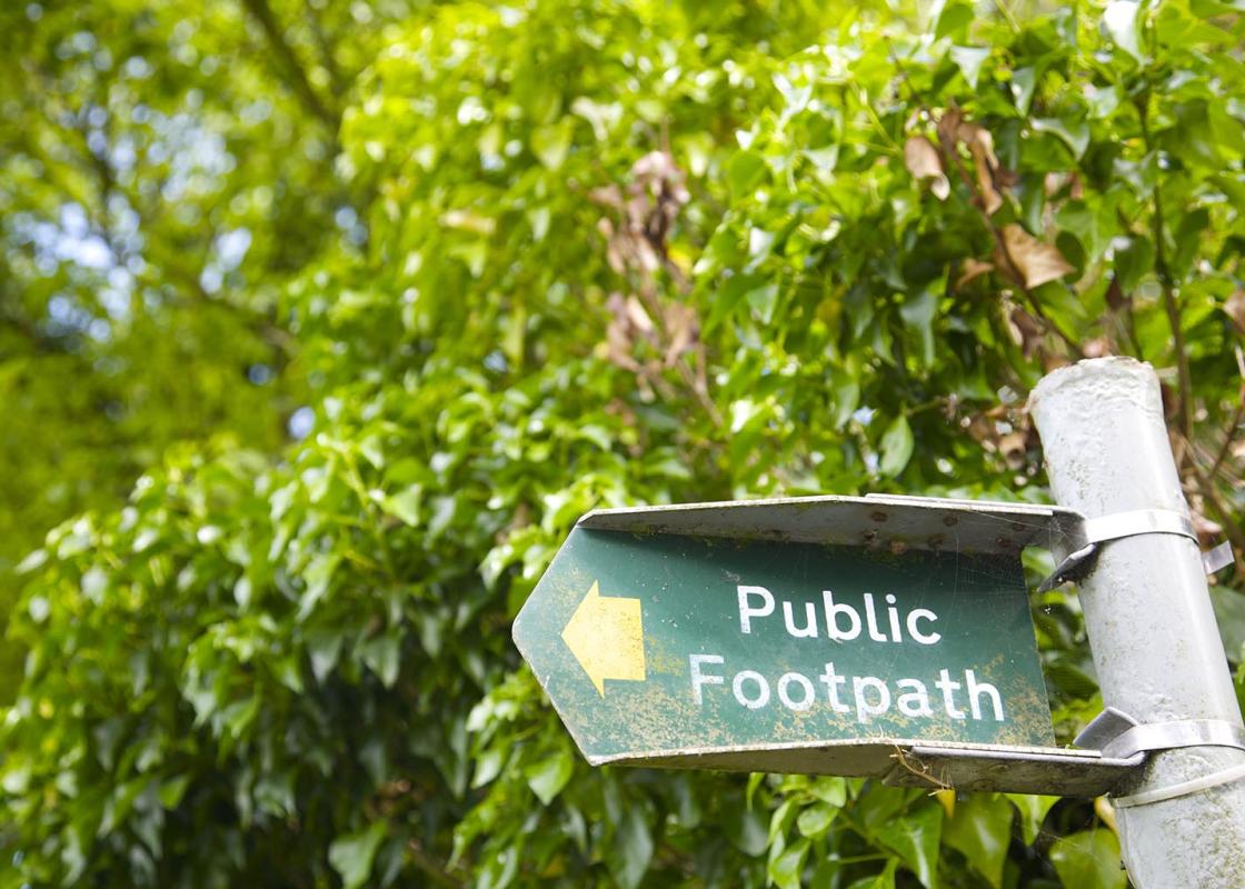
From the car park turn right and follow the main road through Beenham; this changes its name several times, becoming Picklepythe Lane for a stretch, past the recreation ground, to Clay Lane. Veer left and left again by The Willows. Follow the byway (ignore all footpath signs) and eventually pass the two brick pillars that mark the entrance to Oakwood Farm.
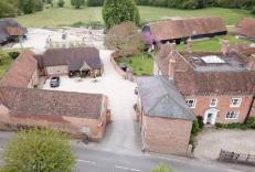
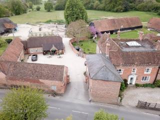
Continue downhill through a natural tunnel of trees. Some 100yds (91m) after you’ve emerged back into the light, where the trail swings left turn right at the bridleway sign. Follow it to the left along the field perimeter, steadily climbing to the top of the field. At the top Malthouse Farm is on your right. Continue on this rough byway to meet the road, with a paved drive leading off to your right to Malthouse Farm.

Been on this walk?
Send us photos or a comment about this route. Or recommend a route of your own.

Walking in Safety
Read our tips to look after yourself and the environment when following this walk.

Get an AA guide
Explore our range of ‘50 Walks in’ guides - they’re the ideal companion for a ramble.
Been on this walk?
Send us photos or a comment about this route. Or recommend a route of your own.
Walking in Safety
Read our tips to look after yourself and the environment when following this walk.
Get an AA guide
Explore our range of ‘50 Walks in’ guides - they’re the ideal companion for a ramble.
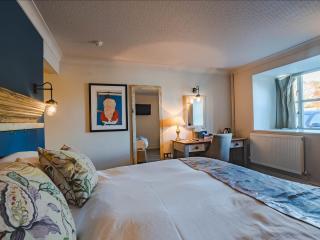
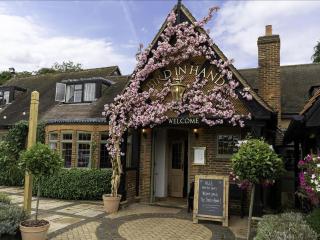
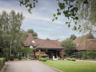
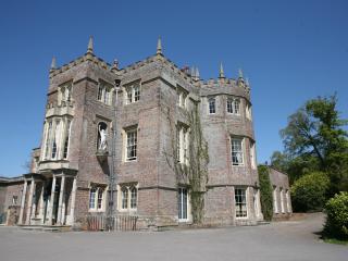
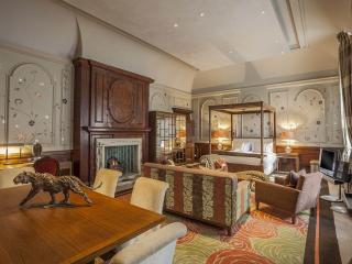
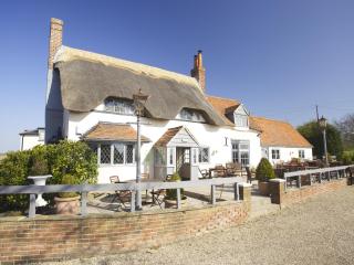
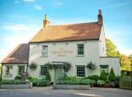
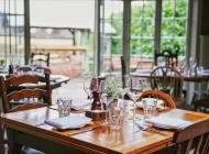
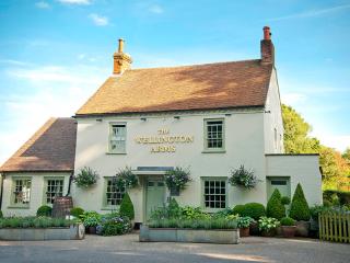
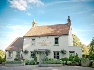
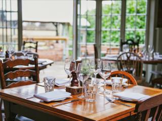
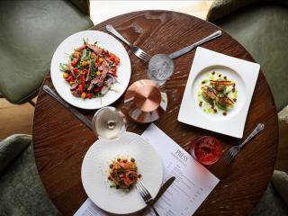
Nearby places to stay
View all (8)