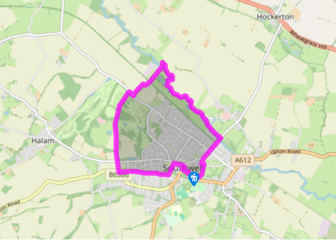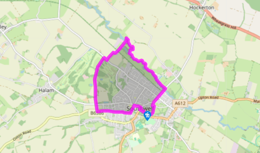
Around Southwell
From the car park, facing the minster, turn right on to Church Street and walk up to the junction at the top in the town centre. Turn right opposite the Saracen’s Head, then cross the road and turn left into Queen Street. Follow this for 350yds (320m), then turn left on to a short drive, opposite a road called Ropewalk.
At the end continue uphill on an alleyway by a school, and at the far corner turn right along the top of the playing field. At a junction of paths go forwards, down a few steps, and straight on along a path behind back gardens, keeping in the same direction. Ignore all turnings off left and right until eventually you cross a road.

Been on this walk?
Send us photos or a comment about this route. Or recommend a route of your own.

Walking in Safety
Read our tips to look after yourself and the environment when following this walk.

Get an AA guide
Explore our range of ‘50 Walks in’ guides - they’re the ideal companion for a ramble.
Been on this walk?
Send us photos or a comment about this route. Or recommend a route of your own.
Walking in Safety
Read our tips to look after yourself and the environment when following this walk.
Get an AA guide
Explore our range of ‘50 Walks in’ guides - they’re the ideal companion for a ramble.
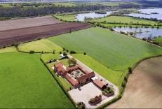
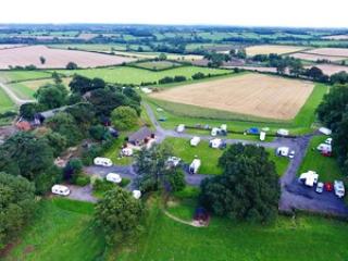
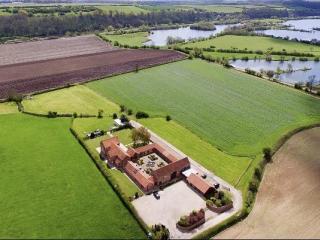
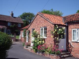
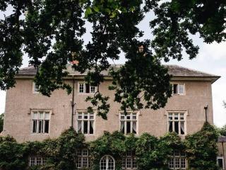
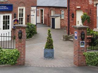
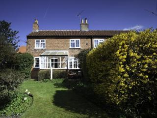
Nearby places to stay
View all (8)

- Launderette
- Ice pack facility
- Picnic Area
- Battery Charging