"Enjoy a day out at a country park north of Bedford"
Walk directions
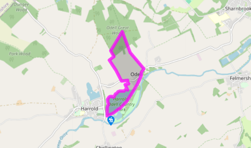
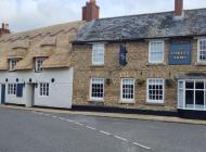
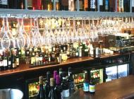
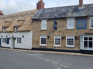
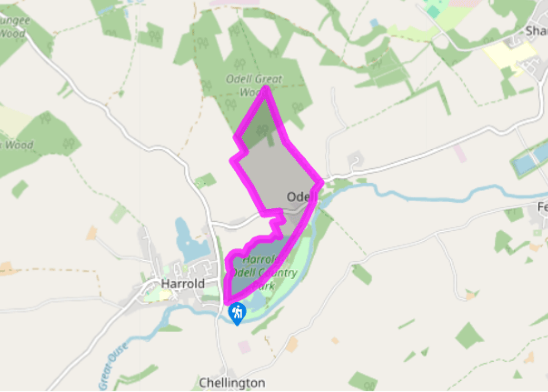
Leave the car park by the visitor centre and walk to the far end of the park beyond the main lake – either along the semisurfaced path between the two lakes or across the long meadow by the side of the River Great Ouse (which may be difficult after heavy rain). Go through the gate at the far end of the main track and along the lane to the pub at Odell, with its riverside garden. Beyond this join the pavement of the High Street on a rising bend and cross over at the top, before you reach the church.
Go through the double gate on the left for the public bridleway – not the footpath further on beside the church. Follow the wide grassy track uphill between the fields, ignoring all paths and tracks off left and right, and follow this broad and direct route into Odell Great Wood. After 0.25 miles (400m) of woodland walking you reach a major junction of routes.
Turn first left, almost back on yourself, for a public footpath (indicated on a nearby waymarked post) through the trees to the southwestern edge of the wood. Turn left and walk along the perimeter to the end, then don't go through the inviting gap in the hedge, but turn right through a metal gate to follow the field-edge to the far corner.
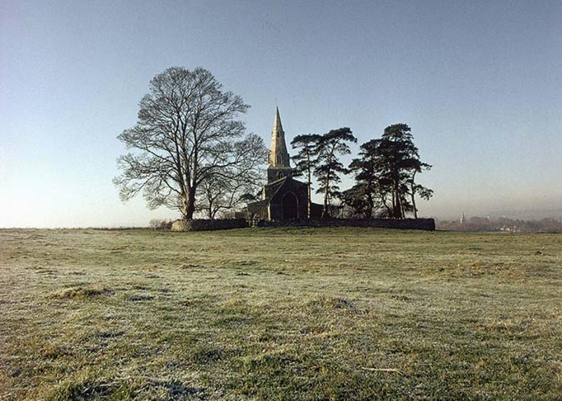
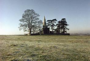
Turn left along a series of fieldedges gradually downhill to the road at the bottom – and admire the pleasant views over the country park and river valley as you do so. St Nicholas's Church, isolated on a hilltop on the far side of the river, is particularly prominent, and a little to the west is the 14th-century tower of St Peter's Church at Harrold. The final field is a narrow, enclosed grassy strip used by local stables.
Cross over the road and turn left to walk along the pavement. In 150yds (137m) go right, at a public footpath sign, to follow the right-hand side of the field as it zig-zags around to the far corner.
Re-enter the country park and turn right on to the semi-surfaced path that skirts the northern side of the main lake. At the far end either walk along the grassy strip back to the visitor centre or follow the path into woodland by the road, and turn left for a short and shady track back to the start.
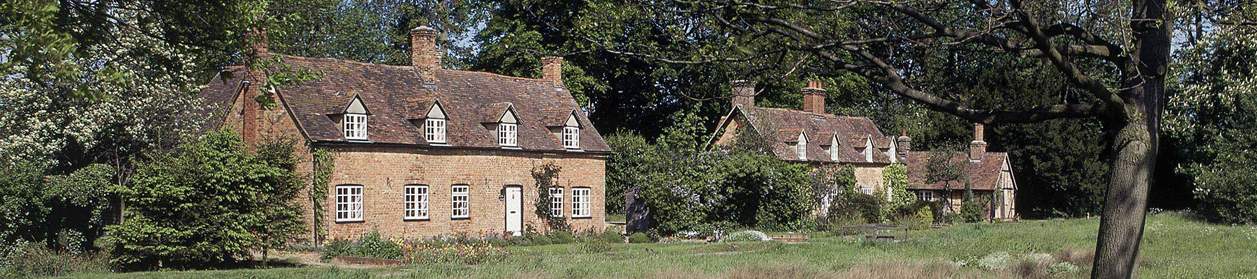
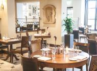
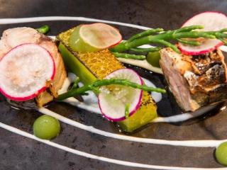
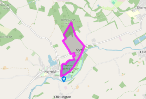
Harrold-Odell Country Park is located about 10 miles (16.1km) north-west of Bedford, between the attractive villages of Harrold and Odell. At the heart of the park are two shallow lakes, close to the banks of the River Great Ouse, which Bedfordshire County Council purchased around 20 years ago, and... now the 144 acres (58ha) are a magnet for wildlife with as many as 160 species of birds recorded. The visitor centre (open daily) by the main car park sports a well-stocked café and a small room full of information and exhibits concerning the park – from feathers and fossils through to ancient pottery and owl pellets – with a strong emphasis on resources to educate and entertain children. Of lakes and lagoons The larger of the two lakes is known as Grebe Lake and not surprisingly is popular with wildfowl. Sometimes there can be literally hundreds of Canada and greylag geese honking fit to burst. Off the lakeside track on the southern shore you can visit a birdwatching hide, which tends to make ornithology a much more comfortable affair. The nature sanctuary, towards the north eastern corner of the park, is a pleasant area of reedfilled lagoons surrounded by willow and alder and offers a more secluded habitat favoured by the likes of newts and water voles. Between the sanctuary and the River Great Ouse is a long strip of watermeadows which regularly flood in winter and early spring, and can be very heavy going after persistent rain. When this is the case stick to the firm gravel track around the main lake. The Bedfordshire Clanger No, this is not one of those curious little pink space creatures from children's TV, but in fact a local delicacy once prepared by Bedfordshire women for their menfolk, who worked all day in the fields – and not dissimilar in that respect to the Cornish pasties originally made for Cornish tin miners. The Bedfordshire Clanger was formerly a boiled suet roll, but has now evolved into a baked suet crust and resembles a traditional pasty. It was designed to be a complete meal, with approximately two thirds containing savoury meat (usually stewing beef or bacon) with diced potato and chopped onion, while the other third was filled with a sweet ingredient like jam. Sadly there are few places left that still make Clangers, but if you're exploring the county visit Sandy, east of Bedford, where Gunns Bakery still produce this unique all-in-one meal.
At its most southern point, Bedfordshire is only 35 miles from London Waterloo, so there’s a good reason for the UK’s fifth busiest airport to be called London Luton Airport. The county is one of England’s smaller in terms of area, but more than makes up for it in terms of business HQs and visitor attractions.
"Enjoy a day out at a country park north of Bedford"
Walk details
2hrs
Difficulty:
Medium
Gradient:
Moderate
Distance:
4 miles (6.4kms)
Ascent:
197ft (60m)
Walk directions
Leave the car park by the visitor centre and walk to the far end of the park beyond the main lake – either along the semisurfaced path between the two lakes or across the long meadow by the side of the River Great Ouse (which may be difficult after heavy rain). Go through the gate at the far end of the main track and along the lane to the pub at Odell, with its riverside garden. Beyond this join the pavement of the High Street on a rising bend and cross over at the top, before you reach the church.
1 of 6
Go through the double gate on the left for the public bridleway – not the footpath further on beside the church. Follow the wide grassy track uphill between the fields, ignoring all paths and tracks off left and right, and follow this broad and direct route into Odell Great Wood. After 0.25 miles (400m) of woodland walking you reach a major junction of routes.
2 of 6
Turn first left, almost back on yourself, for a public footpath (indicated on a nearby waymarked post) through the trees to the southwestern edge of the wood. Turn left and walk along the perimeter to the end, then don't go through the inviting gap in the hedge, but turn right through a metal gate to follow the field-edge to the far corner.
3 of 6
Turn left along a series of fieldedges gradually downhill to the road at the bottom – and admire the pleasant views over the country park and river valley as you do so. St Nicholas's Church, isolated on a hilltop on the far side of the river, is particularly prominent, and a little to the west is the 14th-century tower of St Peter's Church at Harrold. The final field is a narrow, enclosed grassy strip used by local stables.
4 of 6
Cross over the road and turn left to walk along the pavement. In 150yds (137m) go right, at a public footpath sign, to follow the right-hand side of the field as it zig-zags around to the far corner.
5 of 6
Re-enter the country park and turn right on to the semi-surfaced path that skirts the northern side of the main lake. At the far end either walk along the grassy strip back to the visitor centre or follow the path into woodland by the road, and turn left for a short and shady track back to the start.
Harrold-Odell Country Park is located about 10 miles (16.1km) north-west of Bedford, between the attractive villages of Harrold and Odell. At the heart of the park are two shallow lakes, close to the banks of the River Great Ouse, which Bedfordshire County Council purchased around 20 years ago, and... now the 144 acres (58ha) are a magnet for wildlife with as many as 160 species of birds recorded. The visitor centre (open daily) by the main car park sports a well-stocked café and a small room full of information and exhibits concerning the park – from feathers and fossils through to ancient pottery and owl pellets – with a strong emphasis on resources to educate and entertain children. Of lakes and lagoons The larger of the two lakes is known as Grebe Lake and not surprisingly is popular with wildfowl. Sometimes there can be literally hundreds of Canada and greylag geese honking fit to burst. Off the lakeside track on the southern shore you can visit a birdwatching hide, which tends to make ornithology a much more comfortable affair. The nature sanctuary, towards the north eastern corner of the park, is a pleasant area of reedfilled lagoons surrounded by willow and alder and offers a more secluded habitat favoured by the likes of newts and water voles. Between the sanctuary and the River Great Ouse is a long strip of watermeadows which regularly flood in winter and early spring, and can be very heavy going after persistent rain. When this is the case stick to the firm gravel track around the main lake. The Bedfordshire Clanger No, this is not one of those curious little pink space creatures from children's TV, but in fact a local delicacy once prepared by Bedfordshire women for their menfolk, who worked all day in the fields – and not dissimilar in that respect to the Cornish pasties originally made for Cornish tin miners. The Bedfordshire Clanger was formerly a boiled suet roll, but has now evolved into a baked suet crust and resembles a traditional pasty. It was designed to be a complete meal, with approximately two thirds containing savoury meat (usually stewing beef or bacon) with diced potato and chopped onion, while the other third was filled with a sweet ingredient like jam. Sadly there are few places left that still make Clangers, but if you're exploring the county visit Sandy, east of Bedford, where Gunns Bakery still produce this unique all-in-one meal.
At its most southern point, Bedfordshire is only 35 miles from London Waterloo, so there’s a good reason for the UK’s fifth busiest airport to be called London Luton Airport. The county is one of England’s smaller in terms of area, but more than makes up for it in terms of business HQs and visitor attractions.