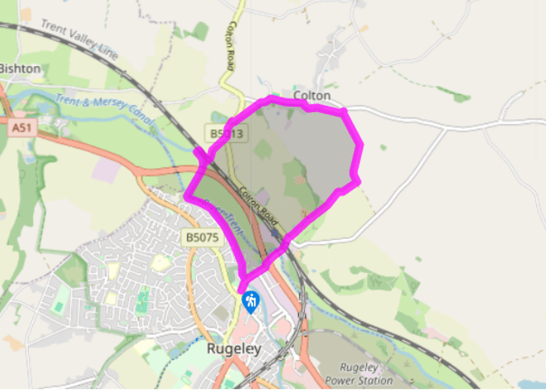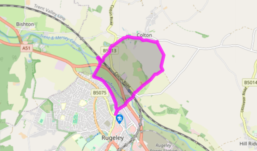
Rugeley and Colton
From St Augustine’s Church head right along the B5013 towards the river. After going over two roundabouts, the river and under the railway, continue straight on along the track. When you get to Parchfields Farm, go over a stile on the right and across a field to a pair of stiles and a footbridge. (Note: if you want to avoid the bull and cows that are occasionally in this field, take the road route via Blithbury Road and after 0.5 miles (800m), opposite the entrance to Colton Hall Farm, turn left along a stony track to New Barn Farm and re-join the route at point 3).
Cross the footbridge and head diagonally left across the field to its far corner. Head over a stile here and straight along the right-hand edge of the field, keeping the hedge just to your right. At the end of the field, follow the yellow footpath arrows right and then left and continue in the same direction on a field track to meet the access track of New Barn Farm.

Been on this walk?
Send us photos or a comment about this route. Or recommend a route of your own.

Walking in Safety
Read our tips to look after yourself and the environment when following this walk.

Get an AA guide
Explore our range of ‘50 Walks in’ guides - they’re the ideal companion for a ramble.
Been on this walk?
Send us photos or a comment about this route. Or recommend a route of your own.
Walking in Safety
Read our tips to look after yourself and the environment when following this walk.
Get an AA guide
Explore our range of ‘50 Walks in’ guides - they’re the ideal companion for a ramble.
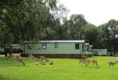
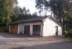
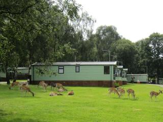
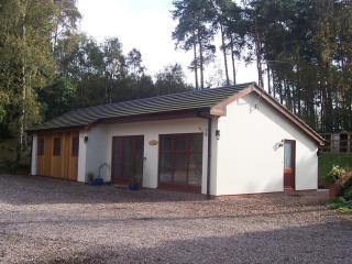
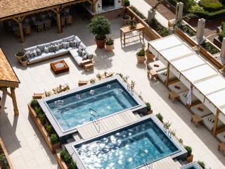
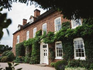
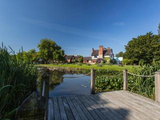
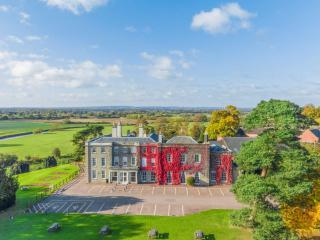
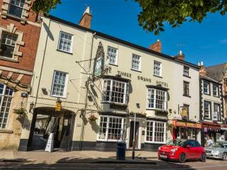
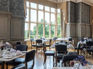
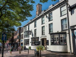
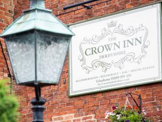
Nearby places to stay
View all (8)