Additional information
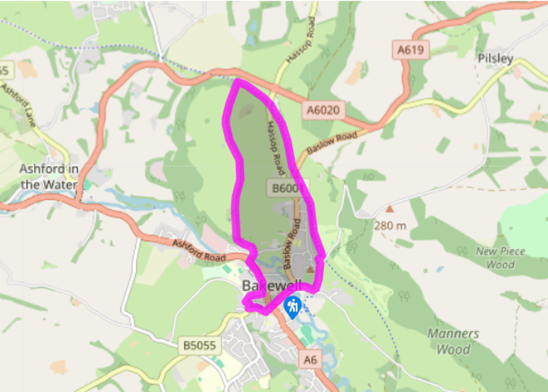
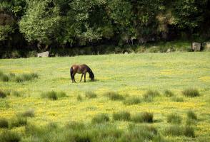
Terrain
- Pavements, firm trails and paths
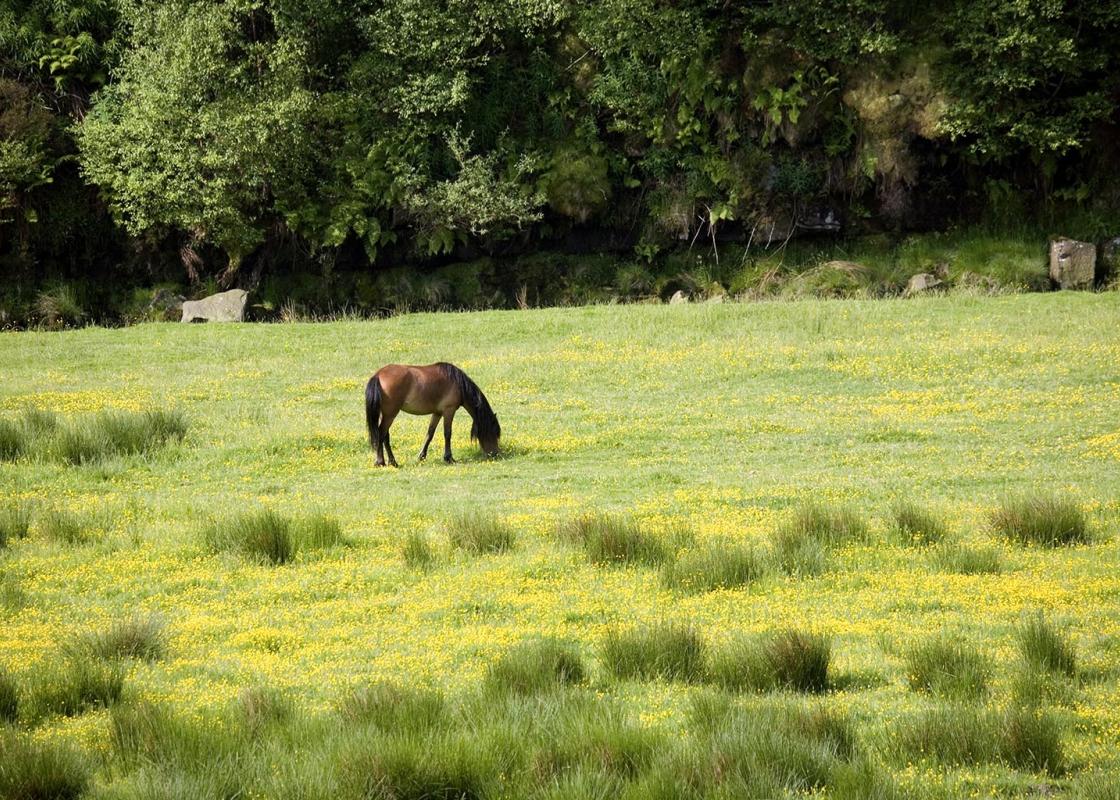
Landscape
- Town streets and farmland
Dog friendliness
- Off-lead on enclosed bridleway and on trail, but beware bikes
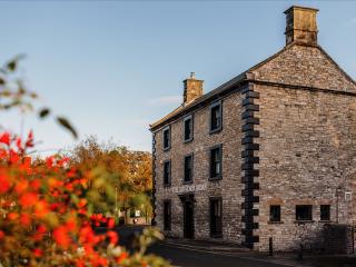
Parking
- Bakewell town centre pay car park
Toilets en route
- Town centre
About the walk
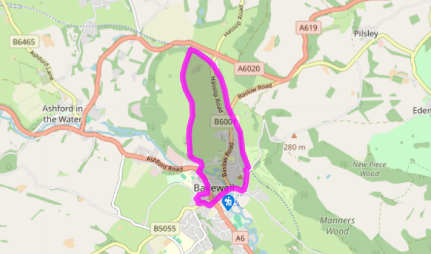
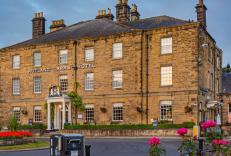
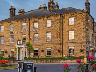
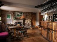
As the main town of the Peak District National Park, Bakewell is a popular destination for tourists and tour buses, its reputation partly founded on tarts and puddings. In 2013 it even held an inaugural Festival of Baking. Indeed, there seems to be enough cafes and tea rooms to last you a fortnight... and the queues in and out of the town on bank holidays can be formidable. Market Day However, scratch the surface and you’ll find that Bakewell has an altogether more interesting and authentic side. It’s had a market for over 600 years and today’s livestock market (held every Monday) is one of the few still thriving in the region. The regular farmers’ market, one of the largest in the country, is also held here, and beside it is the showground where the annual Bakewell Show takes place over two days in early August. This walk touches on many aspects of Bakewell’s history, from a narrow 17th-century packhorse bridge over the Wye that once echoed to the sound of clattering hooves to the former Bakewell Railway Station that until 50 years ago saw packed trains arrive from Manchester and the Midlands. Oldest of all are the remains of inscribed Saxon crosses at All Saints Parish Church, visited at the end of the walk, together with ancient stone coffins and other artefacts. The town grew up on the west bank of the Wye where the river could be forded, and Bakewell’s name is said to derive from the warm springs that rise here. Near the church is Old House Museum, a treasure trove of local history that has a fascinating array of exhibits, including displays of lace and textiles, examples of the high polished black marble that was mined at nearby Ashford in the Water, old farming implements and a rare Tudor toilet and Victorian privy. There’s lots of activities for children and it’s open daily, April–November. Pudding or Tart? There is much confusion, conjecture and downright snobbery when it comes to Bakewell’s famous gastronomic creation. Most locals will tell you that it’s properly a pudding, not a tart, and several establishments lay claim to the original recipe. Legend has it that the so-called Bakewell Pudding originated in the Rutland Arms, Bakewell’s handsome Georgian hotel that overlooks the main square. Its recipe is attributed to a Mrs Greaves who, in the mid-1800s, came up with a mixture of egg yolks, clarified butter and fine sugar '…poured upon the preserve in a puff paste'. Later almonds or almond flavouring were added. But there is another version to the story, which has one of her hapless cooks pouring the egg mixture not into the pastry as she should have done but over the strawberry jam instead. The tart inadvertently became a pudding, but it proved enormously popular and has never looked back since.
Read more
Derbyshire
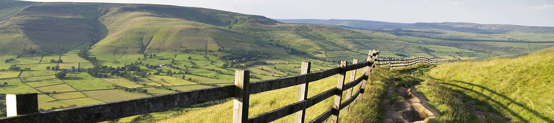
The natural features of this central English county range from the modest heights of the Peak District National Park, where Kinder Scout stands at 2,088 ft (636 m), to the depths of its remarkable underground caverns, floodlit to reveal exquisite Blue John stone. Walkers and cyclists will enjoy the High Peak Trail which extends from the Derwent Valley to the limestone plateau near Buxton, and for many, the spectacular scenery is what draws them to the area.