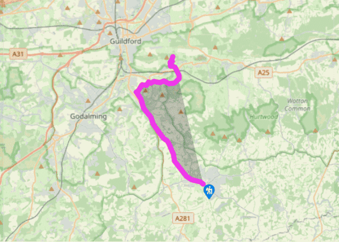
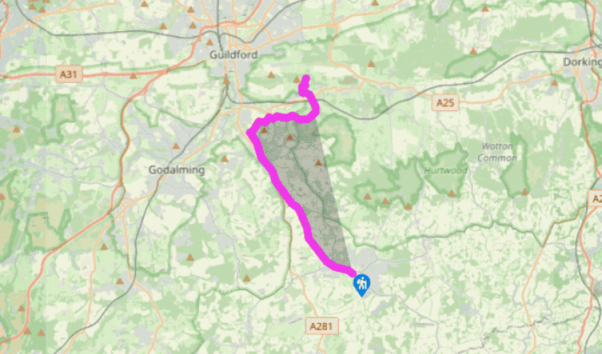
Downs Link: Cranleigh to St Martha's Hill
The path, narrow at first but still on the line of the old railway, is well segregated from an industrial area on the right. Once clear of the town, the Downs Link runs on an embankment, with the disused Wey and Arun Canal (here no more than an overgrown ditch) to the left. A low brick wall marks the point where the canal passed under the railway.
The third over-bridge north from here carries the Greensand Way across the Downs Link. Further on, approaching Bramley, the canal appears again, now on the right, partially restored and full of water.
At Bramley, the Downs Link crosses the B2128. The village, with shops, pubs, and a good bus service into Guildford, is to the left. The walk goes ahead along the platform of the former Bramley and Wonersh Station, where the old station sign is still intact and a shelter has been erected. An information board tells the history of the station. After a short detour to the right, where a bridge has been demolished, resume your way along the track bed with a stream near by to your left.
Shortly, you will come to a double bridge. The lower arch across the Wey and Arun Canal has been incorporated into a newer bridge across the railway. The scene provides a graphic symbol of the eclipse of the canal by the railway. Turn right in front of the bridge, cross the lower arch and walk parallel to a lane on your left. Join the lane and shortly, at a road junction, go ahead on a roughly metalled drive which soon dwindles to a bridleway. After 0.5 miles (800m) a path to the right leads up to the top of Chinthurst Hill, worth a visit if time permits. The Downs Link continues past a car park and out to the B2128. Cross the road and follow a woodland path, opposite. At a drive, turn left.
At Great Tangley Manor Farm, go ahead on a soft sandy track which soon narrows and climbs between high banks. After a little over 0.5 mile (800m), go straight over an oblique crossing track and follow the Downs Link waymarks carefully across Blackheath, crossing a lane at grid ref. TQ032464. About 30yds (27m) beyond the lane, fork right. Your next landmark is an isolated stone war memorial, on raised ground to the right of the track. From the memorial, you can just see St Martha’s Church, over the trees. A few yards past the memorial, go ahead over a crossing track, where the Downs Link way mark is a little ambiguous. Shortly, cross the end of a drive and follow a narrow path to the right of the gateway to Lingwood House. Descend into a valley, heading north.
Been on this walk?
Send us photos or a comment about this route. Or recommend a route of your own.
Walking in Safety
Read our tips to look after yourself and the environment when following this walk.
Get an AA guide
Explore our range of ‘50 Walks in’ guides - they’re the ideal companion for a ramble.
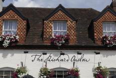
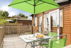
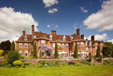
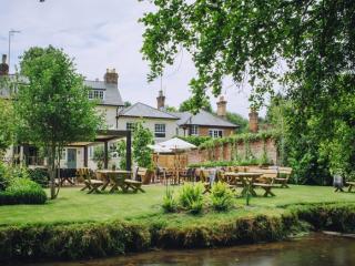
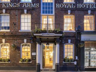
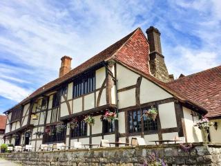
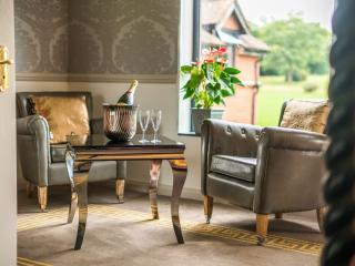
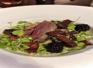
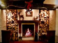
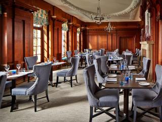
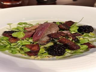
Nearby places to stay
View all (8)
- Family rooms: 0
- Free TV
- WiFi available


