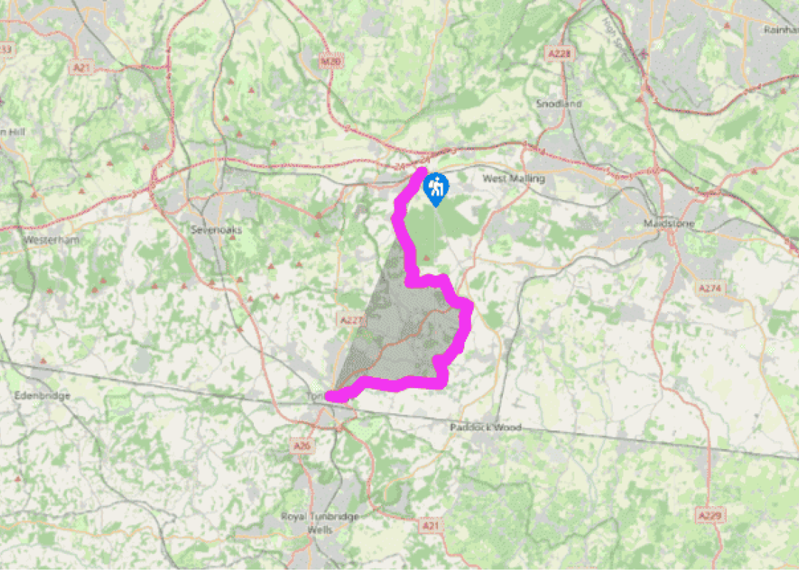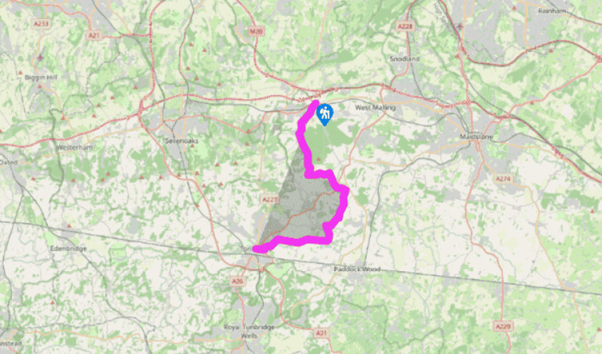
Wealdway: Wrotham Heath to Tonbridge
Start the walk along a drive to the right of the Royal Oak pub. It narrows to a path and passes under the railway. Ignore a left fork and, at the next lane, bear left. After 300yds (275m), fork right on a
narrow fenced path between rhododendrons. Ignore the many side and crossing tracks in this woodland.
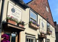
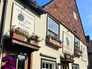
At the road on the edge of the village of Platt, turn right and, shortly, left into Potash Lane. To visit The Blue Anchor pub in the village, a few minutes away, go straight on from this point. Otherwise, follow Potash Lane over a crossroads and on to join a wider road. At another crossroads, go ahead between high hedges. After 250yds (225m), fork right. For the next 2 miles (3km), the Wealdway heads south through Mereworth Woods; predominantly coppiced hazel, with a scattering of silver birch. Ignore all side and crossing tracks to reach a road at Gover Hill, a small National Trust area, with broad views southwards over the valley of the Medway.

Been on this walk?
Send us photos or a comment about this route. Or recommend a route of your own.

Walking in Safety
Read our tips to look after yourself and the environment when following this walk.

Get an AA guide
Explore our range of ‘50 Walks in’ guides - they’re the ideal companion for a ramble.
Been on this walk?
Send us photos or a comment about this route. Or recommend a route of your own.
Walking in Safety
Read our tips to look after yourself and the environment when following this walk.
Get an AA guide
Explore our range of ‘50 Walks in’ guides - they’re the ideal companion for a ramble.
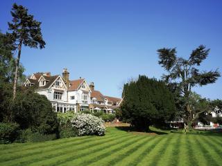
Nearby places to stay
View all (8)