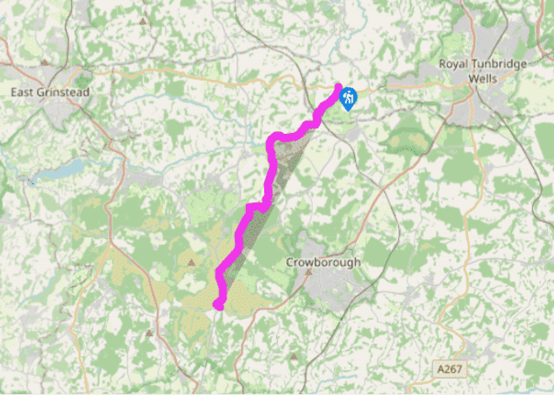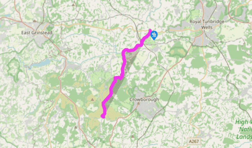
Wealdway: Stone Cross to Camp Hill
From Stone Cross, the Wealdway is narrow and enclosed for a short distance. It then follows one of the finest sections of the walk, along a sloping, grassy hillside. Over the next 0.5 miles (800m), the view ahead into Sussex steadily widens, with the heights of Ashdown Forest now clearly visible across the valley.
For the second time, the route descends into a valley carved by the River Medway, bearing slightly right to pass under a railway line. For 0.5 miles (800m), the Wealdway and the Sussex Border Path coincide, marked by two solid wayposts. Over the stream on the Kent–Sussex boundary, a bridge, designed and built by local ramblers, stands in memory of one of their colleagues. The Medway, crossed near Hale Court Farm is, in these higher reaches, little more than a modest stream.
For the next mile (1.6km), to the road at Summerford Farm, the Wealdway is never far away from the river.

Been on this walk?
Send us photos or a comment about this route. Or recommend a route of your own.

Walking in Safety
Read our tips to look after yourself and the environment when following this walk.

Get an AA guide
Explore our range of ‘50 Walks in’ guides - they’re the ideal companion for a ramble.
Been on this walk?
Send us photos or a comment about this route. Or recommend a route of your own.
Walking in Safety
Read our tips to look after yourself and the environment when following this walk.
Get an AA guide
Explore our range of ‘50 Walks in’ guides - they’re the ideal companion for a ramble.
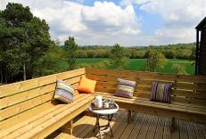
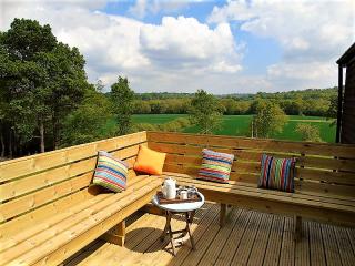
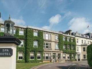
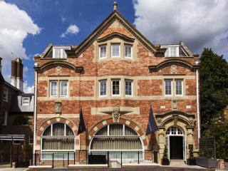
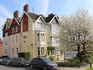
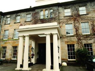
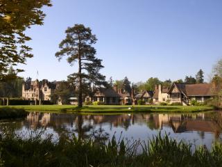
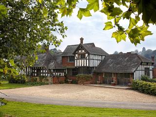
Nearby places to stay
View all (8)