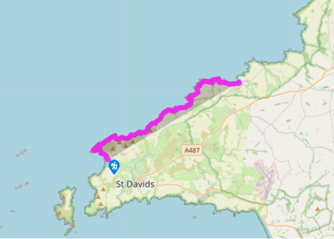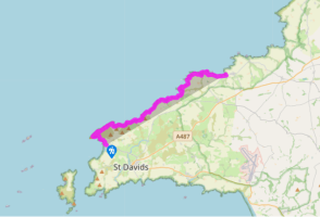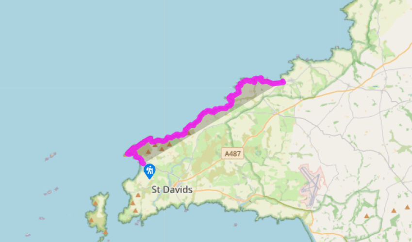
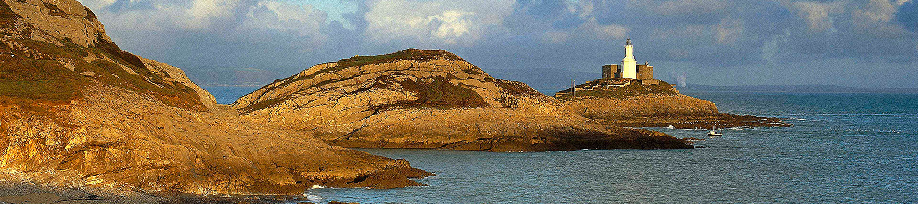
Pembrokeshire Coast Path: Whitesands Bay to Trefin
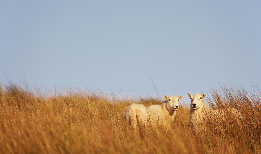
From the Whitesands car park, the coast path continues northwards, gaining height and passing the beach at Porthmelgan, close to St David’s Head. This is the last beach that is accessible from the land until Abereiddy Bay. Inland, the heather-covered headland is dominated by Carn Llidi; one of the Ordovician volcanic peaks of this wild area, which is mainly populated by seabirds, wild flowers, and other walkers. St David’s Head sticks out to the west here, described by the ancient geographer Ptolemy as the Promontory of Eight Perils, because of its fatal attraction for early sail-powered ships, driven on to this unforgiving shore by relentless westerly winds.
The route continues eastwards, following the cliff-tops all the way, with fine views along the coastline ahead. The path is a good way from the road here, with few connecting footpaths and little habitation apart from the occasional inland farm.

Been on this walk?
Send us photos or a comment about this route. Or recommend a route of your own.

Walking in Safety
Read our tips to look after yourself and the environment when following this walk.

Get an AA guide
Explore our range of ‘50 Walks in’ guides - they’re the ideal companion for a ramble.
Been on this walk?
Send us photos or a comment about this route. Or recommend a route of your own.
Walking in Safety
Read our tips to look after yourself and the environment when following this walk.
Get an AA guide
Explore our range of ‘50 Walks in’ guides - they’re the ideal companion for a ramble.
Nearby places to stay
View all (8)