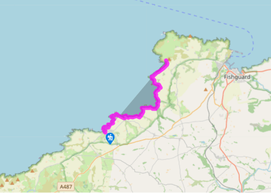
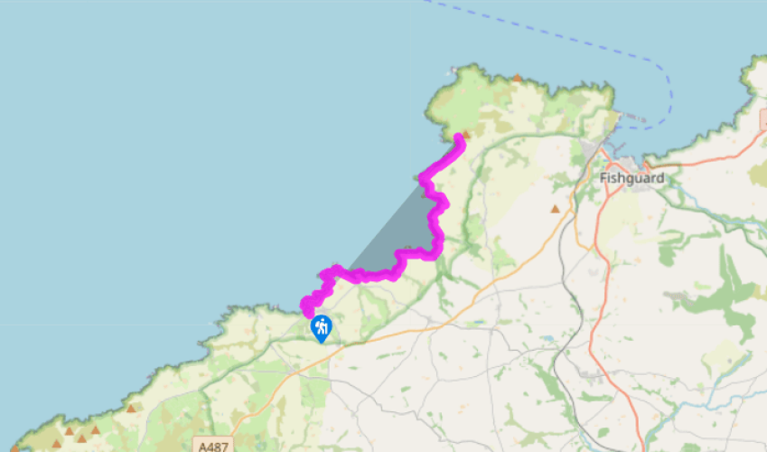
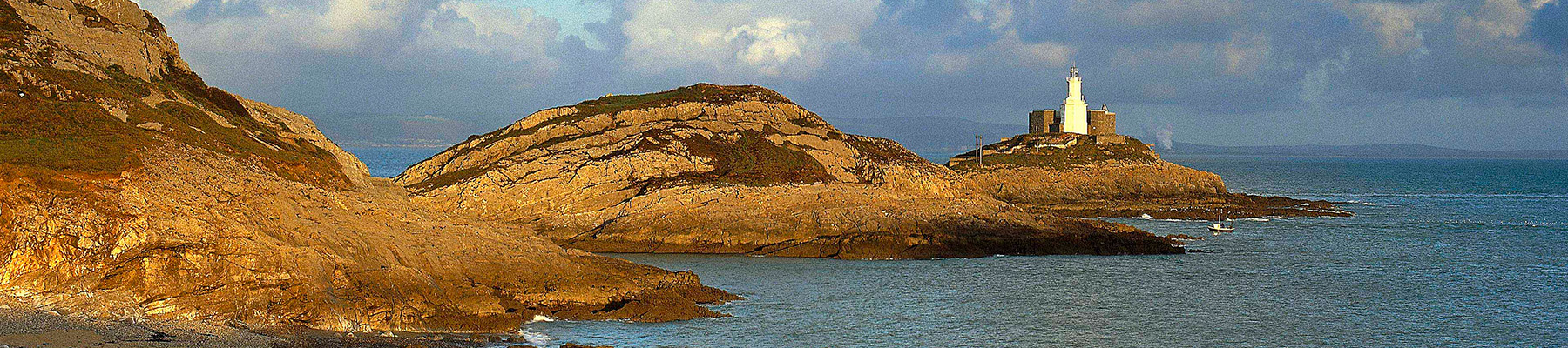
Pembrokeshire Coast Path: Trefin to Pwll Deri
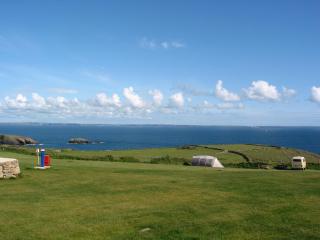
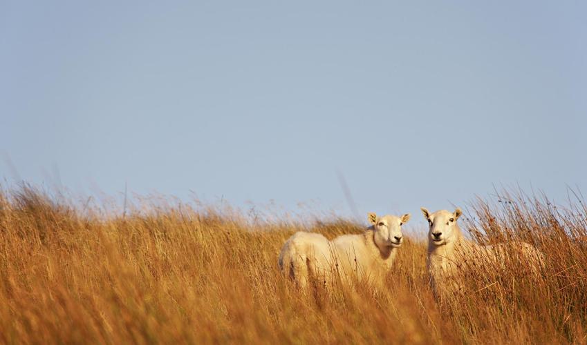
The route continues along a permitted path on the cliff-side with farmland inland, passing above the rocky bay of Pwll Llong, which can be reached by a steep path. It continues round the headland, where the fine peninsula of Pen Castell-coch is connected to the mainland, with views opening out all the way to Strumble Head.
Turning inland, the path joins steep steps, heading down the side of the inlet which leads to the small port of Abercastle. Just past the gate near the bottom, a signpost points to the Carreg Sampson cromlech, a short distance to the west. Abercastle is reminiscent of Porthgain, though it has neither pub nor restaurant. It was once a small port trading with Bristol and Liverpool, but now the only trade there is that of a few fishing boats and fishing folk who congregate, as always, near the quay. Before you leave Abercastle, look out for the old cannons acting as bollards and the limekiln.
The path continues up the other side of the inlet behind an attractive cottage, passing a dangerously ruinous granary in a fine position, with a sign saying ‘Keep Out!’. Going along a permitted path with fields inland, the route winds its way slowly above the inaccessible bays below, sometimes passing very close to the cliff edge. At Pwllstrodur it drops downhill to cross a stream by a small rocky cove, heading steeply uphill on the other side to continue round the next headland, past the Iron Age promontory fort of Castell-coch.
The path starts to head downhill towards Aber Mawr. Parts of the path were once so dangerous at this point that it had to be realigned, in the interests of public safety. The beach at Aber Mawr comes into sight, perhaps the most scenic of this walk, with perfect sets of waves rolling in from the northwest if
there has been any wind. As they break, they polish the beautiful stones of the shorelines to rounded perfection; the flattest ones at the top of the pile providing a pleasant walking surface. Inland there is an unspoilt reed valley with woods beyond, which makes a pleasant change from the monotony of farmland and affords an excellent windbreak for a picnic. The beach itself is connected to the outside world via a dead-end road, but is sufficiently isolated to remain totally unspoilt. It is also considered the most important Ice Age site in Pembrokeshire, with the remains of a submerged coastal forest that can sometimes be seen beneath the sand at low tides.
At the far end of the beach the path joins the road, near a small white building which was the transatlantic submarine cable terminus. Either follow the coast round Pen Deudraeth, or continue along the road to a coastal path signpost pointing left. From here, the path continues above the storm beach of Aber Bach and on past the rock and sand bay at Pwllcrochan, which is inaccessible. This part of the coastline is very wild and lonely, and is therefore one of the best stretches to spot grey seals. Keep dogs well away and never approach a seal yourself. Once a human has been close to a seal pup its mother may reject it. Seal Watch signs give emergency telephone numbers and explain what to do if a seal appears to be in difficulty. The cliffs have numerous seabird colonies, with guillemots and razorbills much in evidence.
Been on this walk?
Send us photos or a comment about this route. Or recommend a route of your own.
Walking in Safety
Read our tips to look after yourself and the environment when following this walk.
Get an AA guide
Explore our range of ‘50 Walks in’ guides - they’re the ideal companion for a ramble.
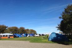
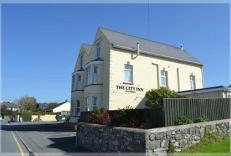
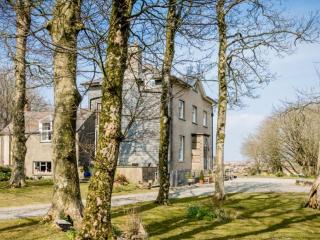
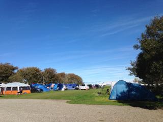
Nearby places to stay
View all (8)
- Rooms 7
- Free TV
- Wifi
- Open parking
- Launderette
- Ice pack facility
- BBQ
- Picnic Area
- Rooms 9
- Free TV
- Wifi
- Open parking


