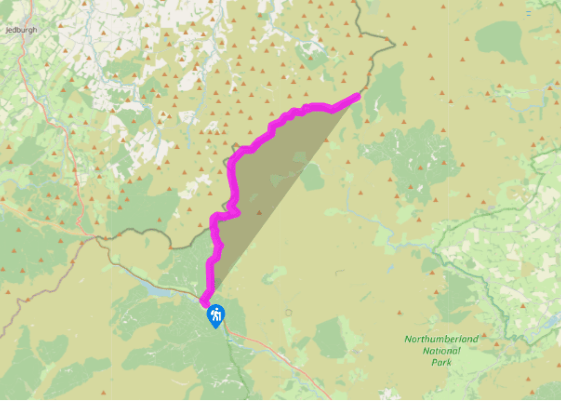
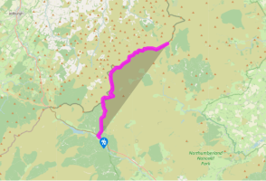
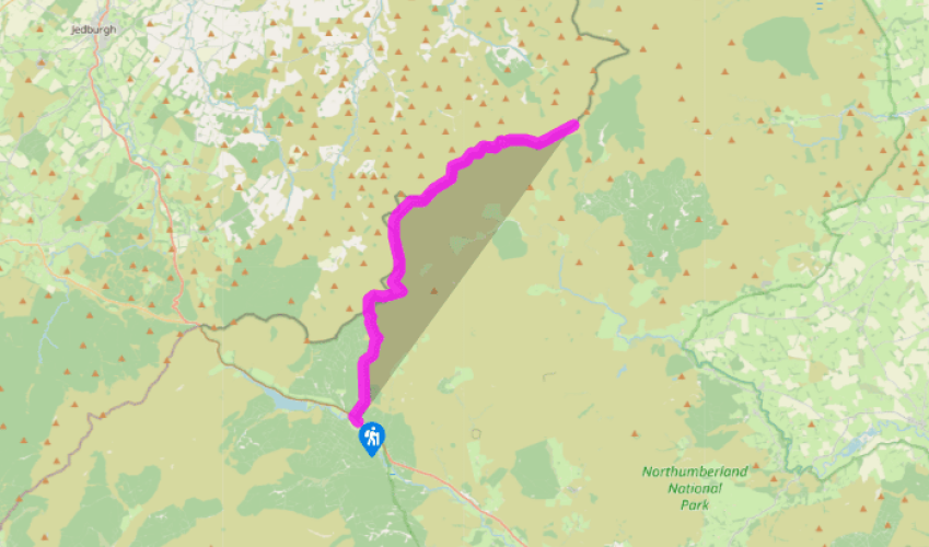
Pennine Way: Byrness to Clennell Street
From the village centre, walk southeast along the A68 and then, just before St Francis Church, take the surfaced path on the left – almost turning back on yourself. Joining a lane at the top, go through a gate just after Byrness Cottage. A path then climbs steeply up to Byrness Hill, from where there are impressive views over Redesdale.
The route heads north, from Saughy Crag to Houx Hill, over flagstones, then above Windy Crag to Ravens Knowe. The land to the east is owned by the Ministry of Defence, part of the ‘dry training area’. From Ravens Knowe the route makes for Ogre Hill and follows a clear but often boggy path downhill alongside a forest plantation to a fence and stile at the headwaters of the River Coquet.
This rather undramatic feature marks the Scottish border and it is very satisfying to climb over the ladder-stile and set foot on Scottish peat. The path sets out north, uphill, as if heading for the Highlands, but in fact the route is simply avoiding the worst of the mires of the Coquet watershed and it soon turns right to follow the valley eastwards, descending gradually to a large gate and stile beside the gathering stream.
Beyond the gate lies a scatter of grass-covered earthworks, extensive and difficult to interpret. This is Chew Green, a Roman marching camp, used for centuries as a stop-over en route to the wild north. A road runs just the other side of the Coquet and there is a small car park. It is a long drive anywhere from here; left heads along Coquetdale to Alwinton, right is an MoD road leading to Redesdale (it is only open at certain times or by special arrangement).
From Chew Green, the Way follows the grassy course of Dere Street up to the border ridge, to the right of Brownhart Law. Continuing north, Dere Street soon disappears beyond Gaisty Law towards Woden Law, where the Romans practised battle and siege tactics. The route heads north or northeast, following a path away from the border fence, linking cairns on the hilltops. The ground is peaty and often boggy but there are bridges, boardwalks or flagstones over the worst sections. Vegetation on these exposed hills is thin, usually mat-grass with some heather and drifts of purple moor-grass, which bleaches white in the winter and spring. After about a mile (1.6km) the route bears right and heads eastwards at the head of the Rennies Burn. Past the Grassy Loughs, the route meets up again with the border fence and keeps with this for many miles, so that routefinding is no longer a problem. It is easy to become disorientated in the Cheviots. The views seem to go on forever.
Been on this walk?
Send us photos or a comment about this route. Or recommend a route of your own.
Walking in Safety
Read our tips to look after yourself and the environment when following this walk.
Get an AA guide
Explore our range of ‘50 Walks in’ guides - they’re the ideal companion for a ramble.
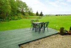
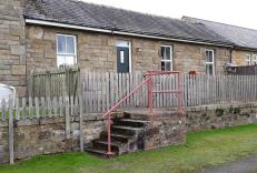
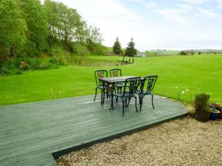
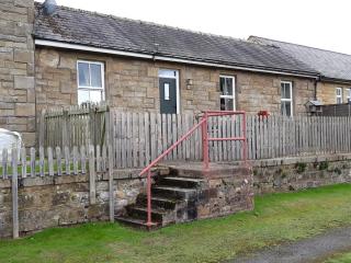
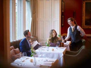
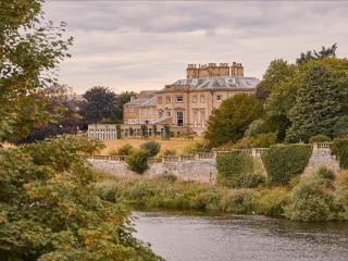
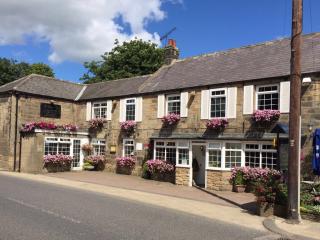
Nearby places to stay
View all (8)
- Private garden
- Washing machine
- Sky or freeview

