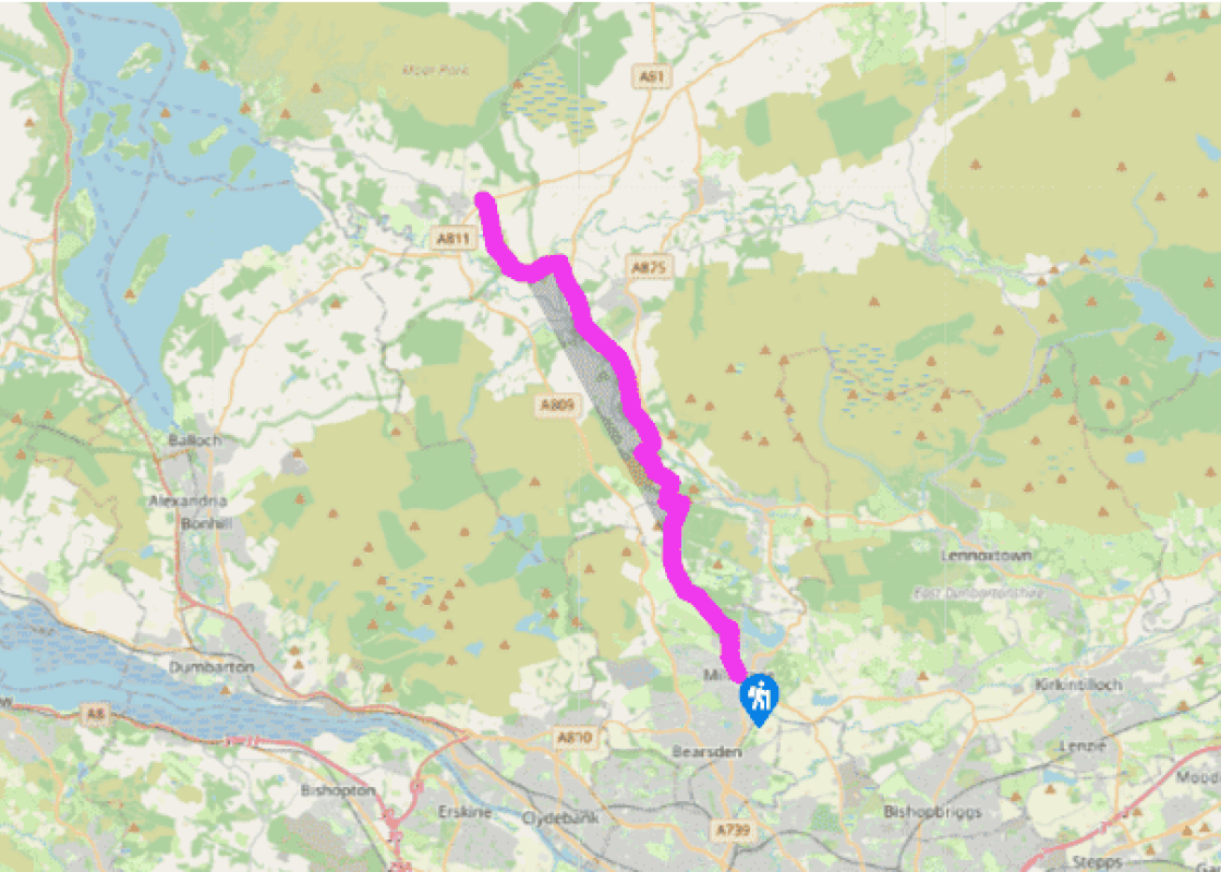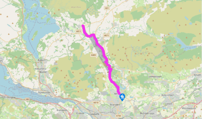
West Highland Way: Milngavie to Drymen
From Milngavie's Main Street, where you will find shops, banks and cafés, follow waymarks down to the Allander Water and along to an attractive tree-lined lane, on the line of a former railway serving one of the long-defunct mills in the area. The Allander Water is rejoined for 0.25 miles (400m) or so before a right turn, uphill, takes you on to the birch and gorse moorland of Allander Park.
The walk continues along the former drive of Craigallian House into Mugdock Wood, with a variety of trees, and many lovely wild flowers in spring and summer. Mugdock was gifted to the people of Glasgow in 1980 by Sir Hugh Fraser, and is now run by the local authorities as one of the 40 country parks in Scotland, providing many thousands of people with an invaluable recreational lung. Allender Water is nearby on the left as you pass through the wood.
At the end of Mugdock Wood the West Highland Way turns left along a lane for a few steps, then follows a track beside the Allander Water to Craigallian Loch, which has been a favourite weekending place for generations of Glaswegians.

Been on this walk?
Send us photos or a comment about this route. Or recommend a route of your own.

Walking in Safety
Read our tips to look after yourself and the environment when following this walk.

Get an AA guide
Explore our range of ‘50 Walks in’ guides - they’re the ideal companion for a ramble.
Been on this walk?
Send us photos or a comment about this route. Or recommend a route of your own.
Walking in Safety
Read our tips to look after yourself and the environment when following this walk.
Get an AA guide
Explore our range of ‘50 Walks in’ guides - they’re the ideal companion for a ramble.
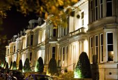
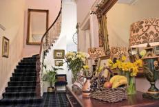
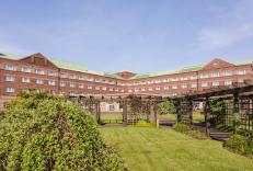
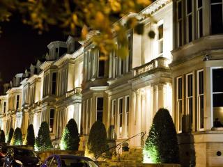
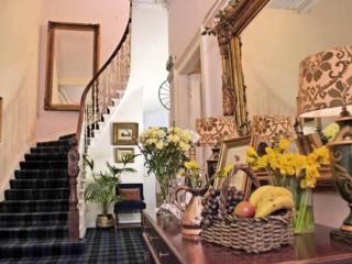
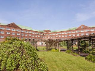
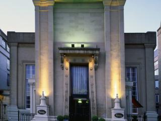
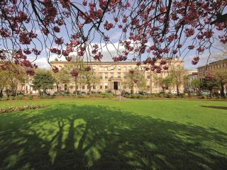
Nearby places to stay
View all (8)