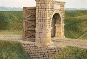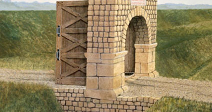
Benwell Vallum Crossing
Recommended by

Overview
A stone-built causeway, where the road from the south crossed the Vallum earthwork on its way to Benwell Roman fort. The fort is buried beneath 1930s housing, but the remains of the gate that controlled access to the crossing are still visible.
Features
- Opening Times
- Open all year
- Opening Times: Open at any reasonable time during daylight hours
About the area
The metropolitan county of Tyne and Wear encompasses Newcastle-upon-Tyne, Gateshead, South Shields and Sunderland, as well as part of Hadrian’s Wall. The county is cut through by the two rivers after which it is named.

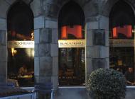
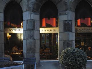
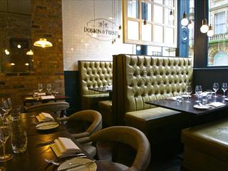
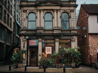
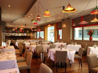
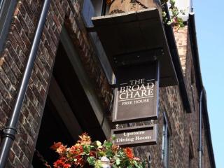
Places to eat nearby View all


Nearby places to stay
View all (8)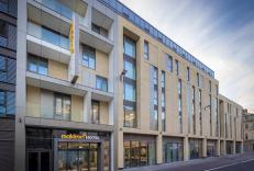


Nearby places to stay
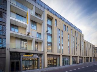
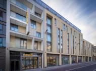
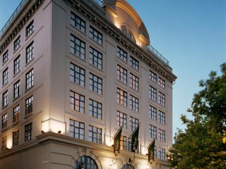
Maldron Hotel Newcastle
Maldron Hotel Newcastle is a brand new hotel in the city centre, with plenty of attractions right on the doorstep; from bars and restaurants, to theatres and museums as well as St James...
Grey Street Hotel
Located in the heart of Newcastle, Grey Street Hotel combines the features of the original 18-century bank building with modern guest facilities. Bedrooms differ in size, but are all we...
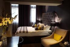
Malmaison Newcastle
The Malmaison Newcastle overlooks the river and the Millennium Bridge in the very popular quayside district. Bedrooms and suites have striking moody decor, comfortable beds and large de...
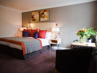
The Caledonian Hotel, Newcastle
The Caledonian Hotel is located in the Jesmond area of the city and offers comfortable bedrooms that are well equipped. The public areas include the refurbished Phoenix Bar and The Rest...
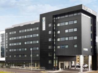
Ramada Encore Newcastle - Gateshead
The Ramada Encore Newcastle Gateshead is a modern, purpose-built hotel located at the transformed Gateshead Quays. Ideally located for the Baltic, Sage and the Millennium footbridge whi...
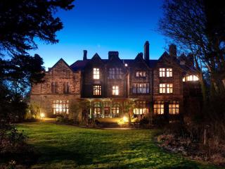
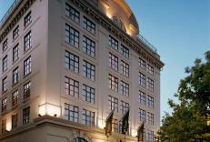
Jesmond Dene House
This grand house overlooks the wooded valley of Jesmond Dene yet is just five minutes from the centre of town. It has been sympathetically converted into a stylish, contemporary hotel d...
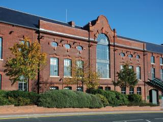
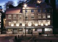
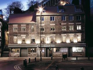
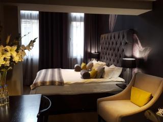
Hotel du Vin Newcastle
The former maintenance depot of the Tyne Tees Shipping Company, this is a landmark building on the Tyne which has been transformed into a modern and stylish hotel. Bedrooms are well equ...
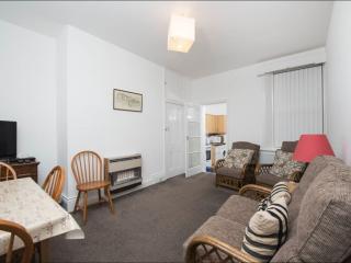
Self-Catering Accommodation 135 Audley Road.
This is a comfortable, functional, self-contained, centrally-heated, two-bedroom, ground-floor flat with two single beds in each bedroom. It is situated approximately three miles from t...