Minnowburn (NT)
Recommended by

Overview
Minnowburn is on the southern edge of Belfast, its meadows and woodlands rolling down to the River Lagan. Wander along the burn that gives the area its name, beeches towering above, past where generations of children fished for minnows. Climb Terrace Hill and discover the garden built by linen merchant Ned Robinson, where you can take in the views across the Lagan valley. The old avenue curves back down the hill to the Sandpit field, which once reverberated to the sound of ‘Pop for Peace’, a concert in 1969 endorsed by John Lennon. On the other side is a short walk to the Giant’s Ring, a huge Neolithic earth henge and tomb where you can imagine scenes of ancient gatherings and rituals. Paths wind through fields, past the mill village of Edenderry and back to the river, to its first historical crossing at Shaw’s bridge, named after an officer in Oliver Cromwell’s army. Keep an eye out for sculptures and natural art along the path, and see if you can catch the blue flash of a kingfisher, or an otter poking its head above the water.
About the area
Geographically, County Down seems to put a long arm around Strangford Lough, over 70 square miles of water. The arm is the Ards Peninsula, the most easterly part of Ireland.

Places to eat nearby View all


Nearby places to stay
View all (8)


Nearby places to stay
The Malone
The Malone is situated in the leafy suburbs of the university area of south Belfast, this stylish hotel forms the centrepiece of an attractive row of Victorian terraced properties. The ...
Tara Lodge
Tara Lodge is ideally located for the Botanic Gardens as well as Belfast university. Friendly staff and comfortable bedrooms make Tara Lodge popular for both leisure or business guests....
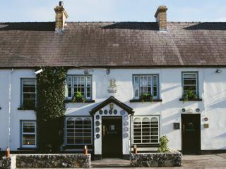
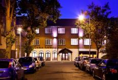
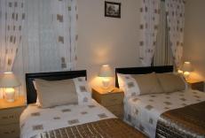
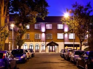
Springfield B&B
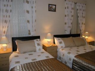
Located just 10–15 minutes' walk from the city centre, Springfield B&B offers budget accommodation and genuine hospitality. Bedrooms and en suites are generally compact but cater well f...
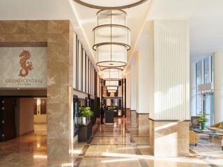
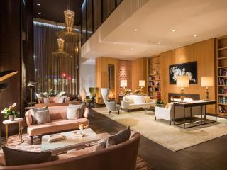
Grand Central Hotel Belfast
Standing tall in Bedford Street, the Grand Central is an impressive jewel that mixes glamour and grandeur with a uniquely Belfast spirit. Situated in the up-and-coming Linen Quarter, th...
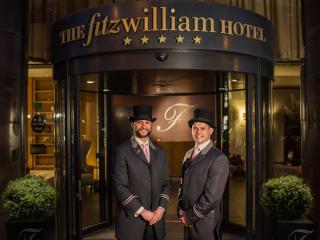
Fitzwilliam Hotel Belfast
The Fitzwilliam is perfectly placed for Belfast city centre, adjacent to the Grand Opera House and set amid a range of shops and restaurants. The modern contemporary style bedrooms are ...
Malmaison Belfast
The Malmaison Belfast is situated in a former seed warehouse at the heart of Belfast's Cathedral Quarter, ideally located for the city centre. The hotel's design ethos is informed by th...

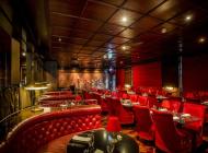
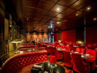
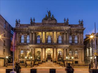
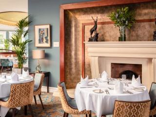
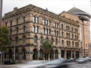
The Merchant Hotel
Situated in the historic Cathedral Quarter of Belfast, The Merchant Hotel is a magnificent Grade I listed property. It has been lovingly and sensitively restored to reveal the original ...
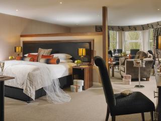
La Mon Hotel & Country Club
The La Mon Hotel and Country Club is surrounded by rolling countryside only 15 minutes from Belfast City Centre. A well equipped and presented hotel with spacious bedrooms providing the...