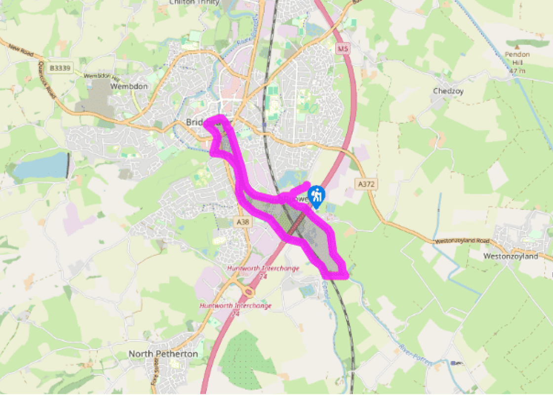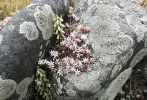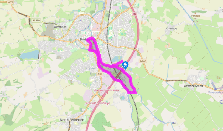
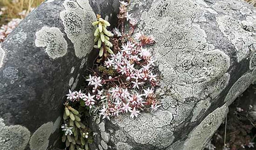
A Bridgwater ramble
Leave the car park back onto the road; turn right and again right into Plum Lane. Pass houses, with glimpses of the lake on your right. At the cupressus hedge fork left, and after 65yds (60m) keep ahead on path to side of River Parrett. Turn right to pass under the low arch of a railway bridge, the Somerset Bridge. Cross the attached footbridge and turn back left under another low arch. Continue upstream on a lane with the River Parrett now on your left. Reed beds and flooded ground are on the right, and you pass the Summerhayes Fisheries. Under the motorway the track turns aside to the right, ignore this and continue ahead next to the river. Go through one gate, and continue along a field to go through another gate into the Screech Owl Nature reserve (unsigned). The path leaves the reserve at a second gate, and continues beside the river on the embankment. It emerges at a gate onto a lane.
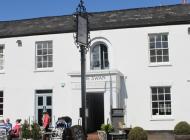
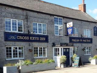
Turn right, crossing the railway by a bridge. As the lane rises again towards a second bridge, this time over the Bridgwater and Taunton Canal, turn right along the towpath. Head along the wide, smooth path: the canal is on your left, with glimpses of the Quantock Hills behind the modern distribution centre buildings in the distance. After 0.5 miles (800m) you reach the Boat and Anchor Inn. Continue past the inn and under the M5 motorway. About 0.25 miles (400m) later a small swing bridge crosses the canal at the end of Marsh lane.

Been on this walk?
Send us photos or a comment about this route. Or recommend a route of your own.

Walking in Safety
Read our tips to look after yourself and the environment when following this walk.

Get an AA guide
Explore our range of ‘50 Walks in’ guides - they’re the ideal companion for a ramble.
Been on this walk?
Send us photos or a comment about this route. Or recommend a route of your own.
Walking in Safety
Read our tips to look after yourself and the environment when following this walk.
Get an AA guide
Explore our range of ‘50 Walks in’ guides - they’re the ideal companion for a ramble.

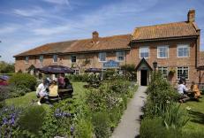
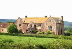
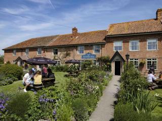
Nearby places to stay
View all (8)