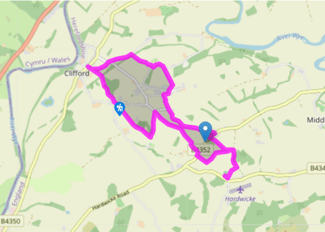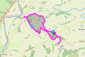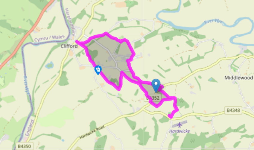
A circuit from Clifford
Walk downhill from the church past a junction to a fingerpost indicating a path off right. Entering a field, strike diagonally left to the bottom corner. Over stiles go right and soon right again into Ton Wood. Follow a winding path left through the trees. Beyond, bear right downfield, cross the embankment of a former railway and continue down towards Clifford.
For a distance glimpse of the castle, follow the holly-tunnelled path in front into the village and go left, then first right. Otherwise, strike sharp right, following a sparse line of trees to exit at a junction. Take the narrow lane opposite for 0.25 miles (400m). Through a kissing gate on the right, cross a narrow field, then the old railway to climb away at the field edge. After 150yds (137m), slip through a gap to continue up on the opposite side of the boundary and finally follow a contained path to a lane at Poolpardon.

Been on this walk?
Send us photos or a comment about this route. Or recommend a route of your own.

Walking in Safety
Read our tips to look after yourself and the environment when following this walk.

Get an AA guide
Explore our range of ‘50 Walks in’ guides - they’re the ideal companion for a ramble.
Been on this walk?
Send us photos or a comment about this route. Or recommend a route of your own.
Walking in Safety
Read our tips to look after yourself and the environment when following this walk.
Get an AA guide
Explore our range of ‘50 Walks in’ guides - they’re the ideal companion for a ramble.
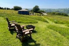
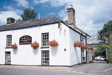
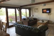
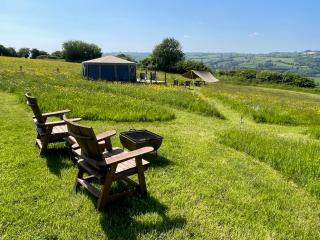
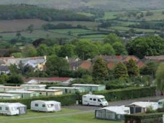
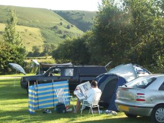
Nearby places to stay
View all (8)