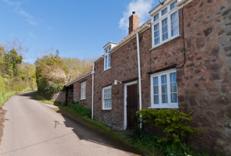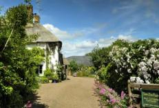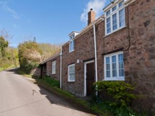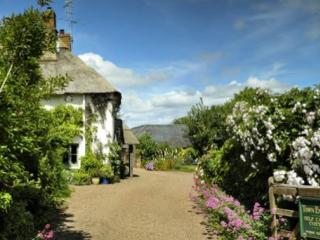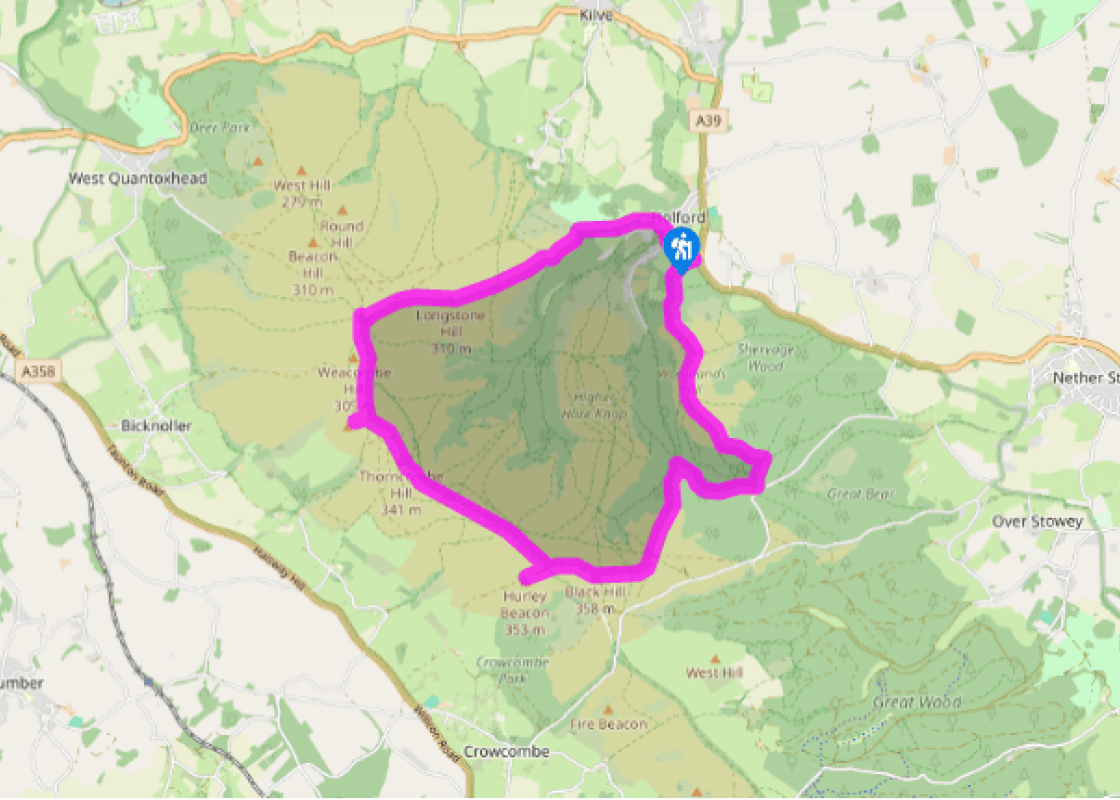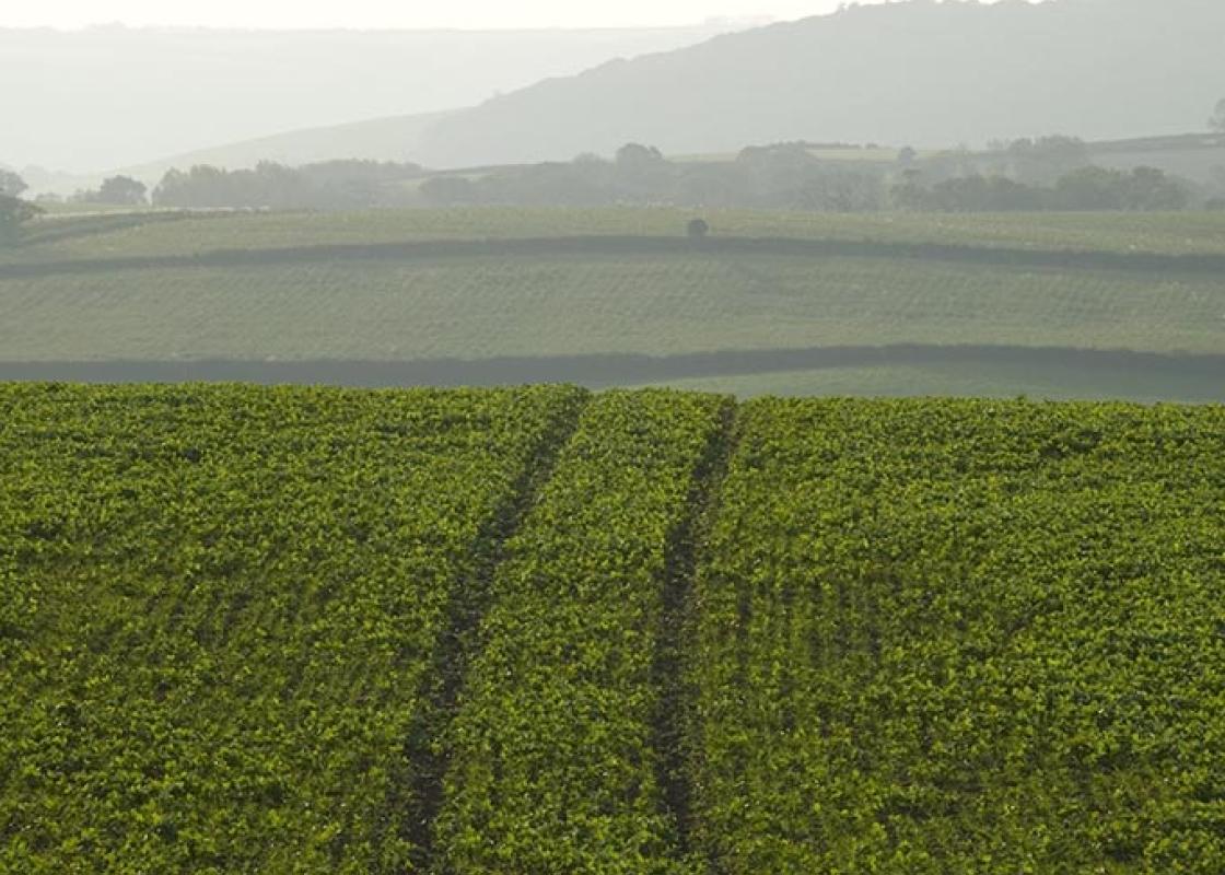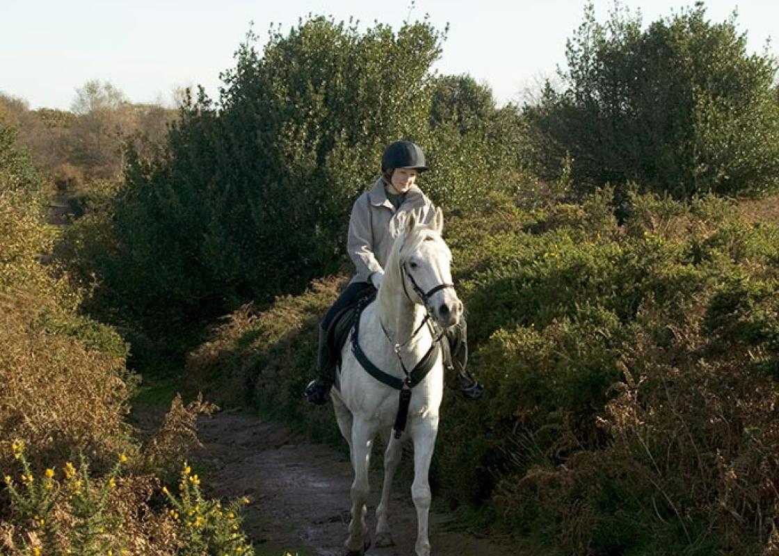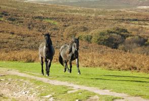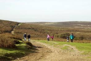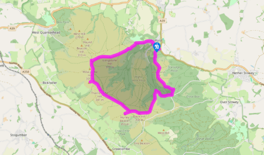
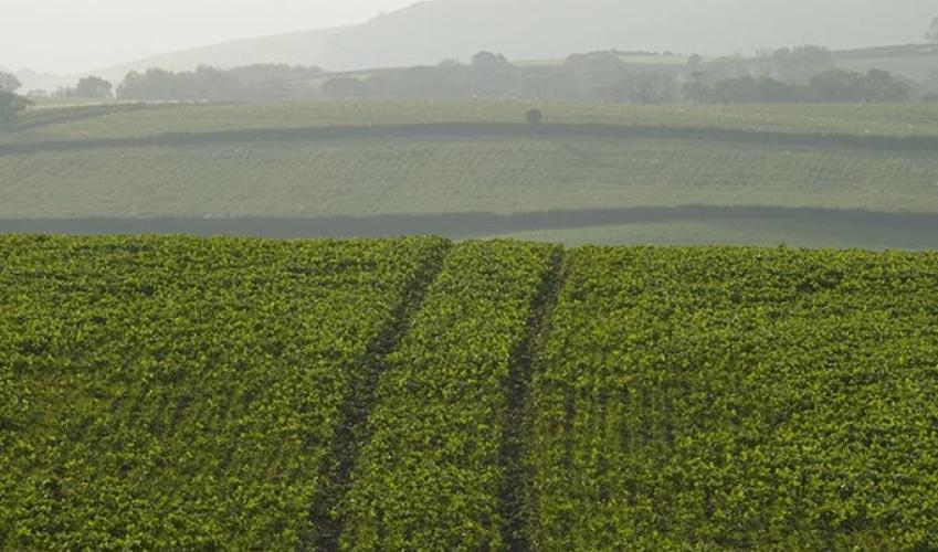
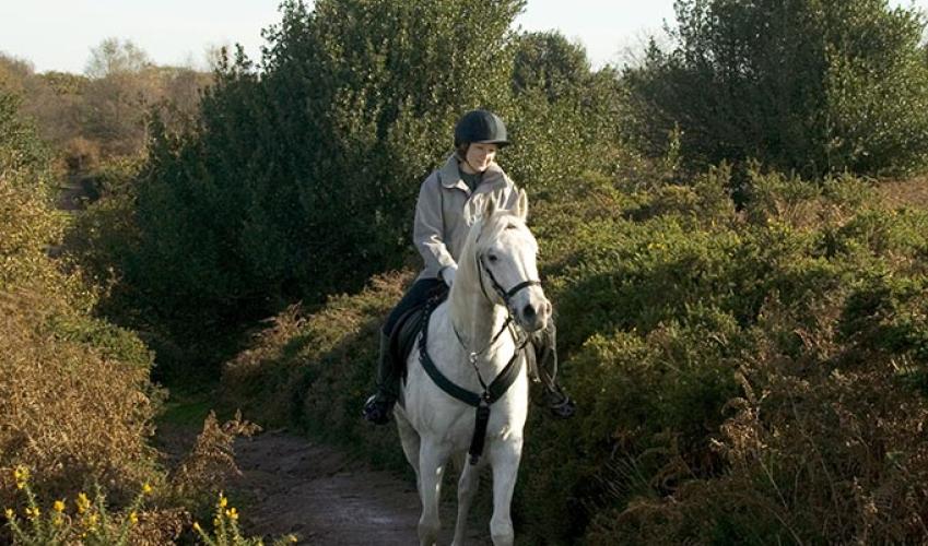
A Quantock ramble
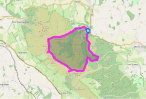
Follow the lane left past Holford Bowling Green and over a stream. At the sharp bend beyond, leave up a wooded track beside a curious 'dog pound'. Beyond a gate, bear left at a fork to rise steeply along the spur of Longstone Hill, where a stand of pine is a memorial to Holford and Kilve's war dead. Keep climbing with the main track, later branching left at a fork to continue over the crest of the hill. The path eventually falls to a junction by a small pool at Bicknoller Post.
Bear left above the head of Sheppard's Combe to a broader track and go left again. Reaching a shallow dip, bear off right on a rising grass track. Where it bends left at the crest of the hill, take the first track leaving right and then fork left towards the raised mound of Thorncombe Barrow.

Been on this walk?
Send us photos or a comment about this route. Or recommend a route of your own.

Walking in Safety
Read our tips to look after yourself and the environment when following this walk.

Get an AA guide
Explore our range of ‘50 Walks in’ guides - they’re the ideal companion for a ramble.
Been on this walk?
Send us photos or a comment about this route. Or recommend a route of your own.
Walking in Safety
Read our tips to look after yourself and the environment when following this walk.
Get an AA guide
Explore our range of ‘50 Walks in’ guides - they’re the ideal companion for a ramble.

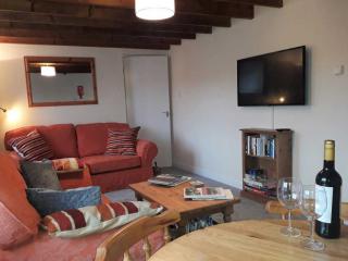
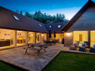
Nearby places to stay
View all (8)