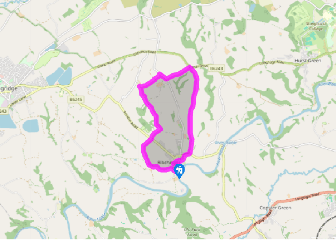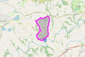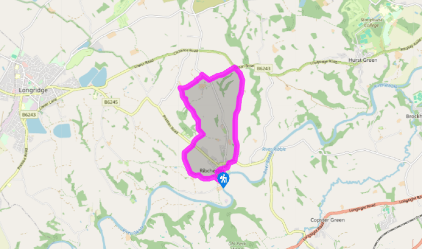
A Roman town
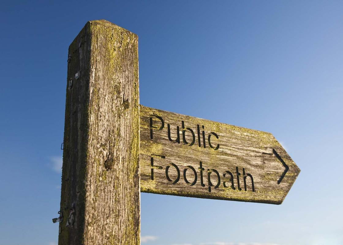
Turn left from the car park and then right along Church Street past The White Bull. At the river, the Roman bath house is signed left if you want to visit it. Otherwise, bend right then turn left past the museum to the church. Through a gate at the far side of the churchyard, go right to a junction and turn left (not sharp left) along a lane.
Reaching a left bend, leave right over a stile. Follow the left perimeter, continuing beyond the corner towards trees. There, bear right down to a stile and footbridge. Climb by the right boundary, slipping into the adjacent field at the top to walk on by the left hedge. Exit through a farmyard to a lane.

Been on this walk?
Send us photos or a comment about this route. Or recommend a route of your own.

Walking in Safety
Read our tips to look after yourself and the environment when following this walk.

Get an AA guide
Explore our range of ‘50 Walks in’ guides - they’re the ideal companion for a ramble.
Been on this walk?
Send us photos or a comment about this route. Or recommend a route of your own.
Walking in Safety
Read our tips to look after yourself and the environment when following this walk.
Get an AA guide
Explore our range of ‘50 Walks in’ guides - they’re the ideal companion for a ramble.

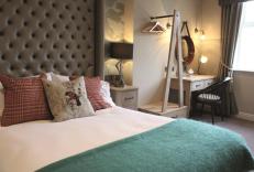
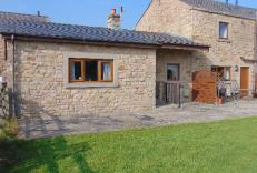
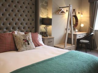
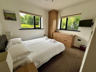
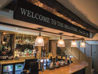
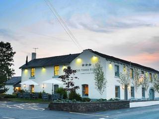
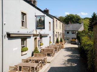
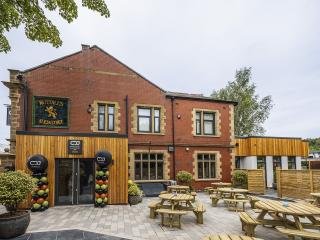
Nearby places to stay
View all (8)