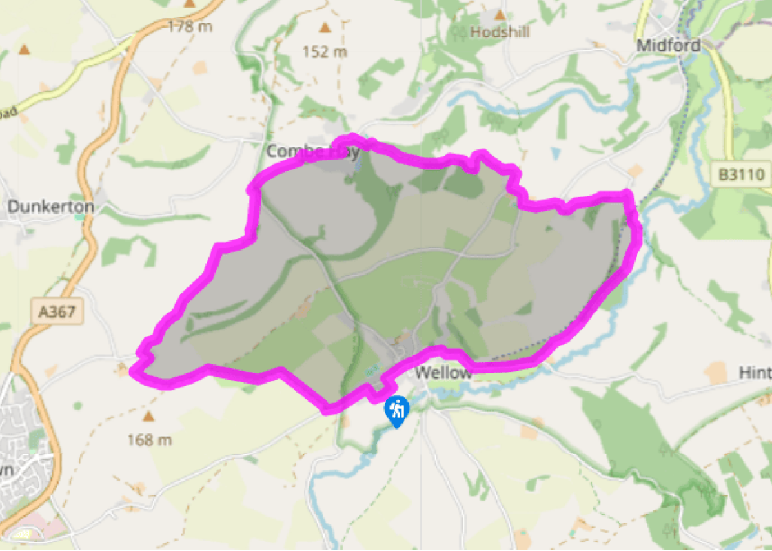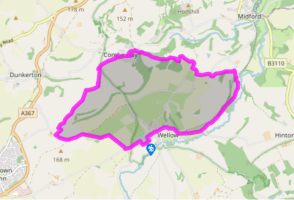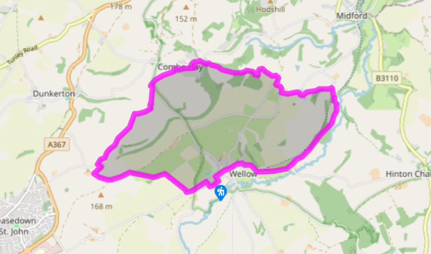
A Wellow walk
Head out past the church, under a viaduct, and up to pass Wellow Trekking. In another 110yds (100m) a narrow, rutted track starts just above the road. Where it becomes unclear, keep going, to the hedge ahead. The track continues above it, and runs down through a wood. At its foot fork left on the older track, which turns up left to pass under a railway bridge. (Note: no access to this track from the railbed cycleway from Wellow.)
Just before Lower Twinhoe Farm turn left into a signposted green track. At the hilltop the track fades into a field. Bear right, before hilltop houses, to a small gate and then a larger one. Turn right along the farm's driveway to a lane. Turn left, then down right at Middle Twinhoe Farm, and bend left towards Upper Twinhoe. Just before this farm a signed track descends to the right.

Been on this walk?
Send us photos or a comment about this route. Or recommend a route of your own.

Walking in Safety
Read our tips to look after yourself and the environment when following this walk.

Get an AA guide
Explore our range of ‘50 Walks in’ guides - they’re the ideal companion for a ramble.
Been on this walk?
Send us photos or a comment about this route. Or recommend a route of your own.
Walking in Safety
Read our tips to look after yourself and the environment when following this walk.
Get an AA guide
Explore our range of ‘50 Walks in’ guides - they’re the ideal companion for a ramble.

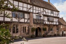
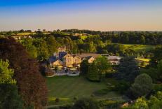
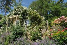
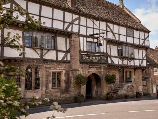
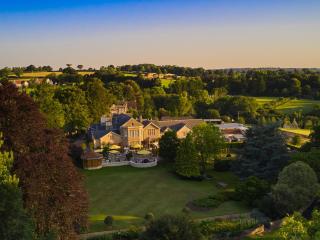
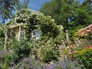
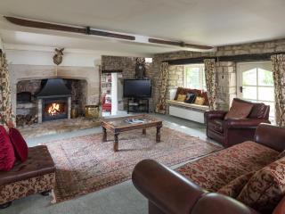
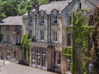
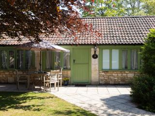
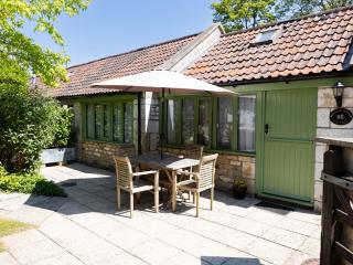
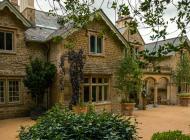
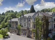
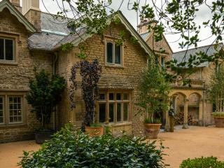
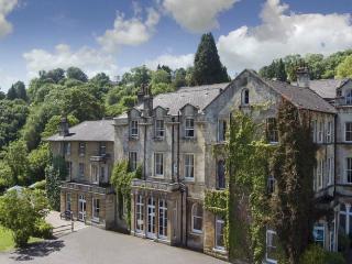
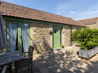
Nearby places to stay
View all (8)