Additional information
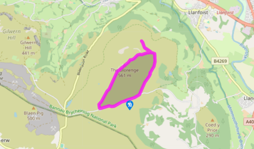
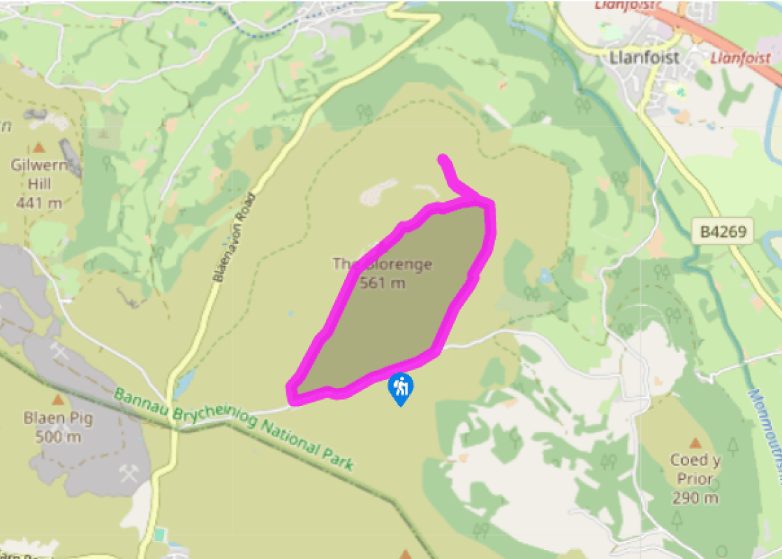
Terrain
- Clear tracks over open mountainside, quiet lane
Landscape
- Rugged mountain scenery, huge views over Usk Valley
Dog friendliness
- Care needed near livestock and on road
Parking
- Small car park at Carn-y-gorfydd
Toilets en route
- None on route
About the walk
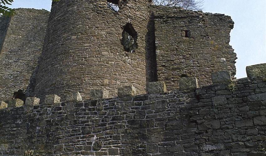
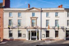
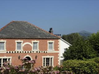
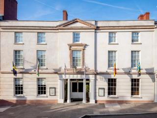
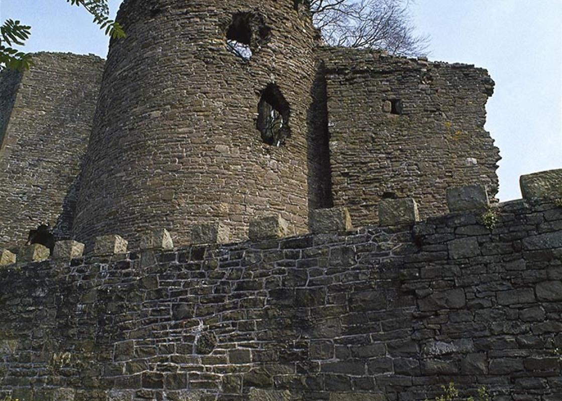
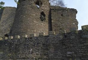
There’s no easier peak to climb in the Bannau Brycheiniog (Brecon Beacons) National Park, but there are also few that occupy such a commanding position. The Blorenge – the English-sounding name probably derives from ‘blue ridge’ – towers menacingly above the cramped streets of Abergavenny, with the... main sweep of the Black Mountains leading away to the north. The mountain actually dominates a small finger of the National Park that points southwards from Abergavenny to Pontypool. It’s unique in being the only real peak south of the A465 Heads of the Valleys road. It also marks a watershed between the protected mountain scenery that makes up the bulk of the National Park and the ravaged industrial landscape that forms the southern boundary. Typically, its northern flanks boast a Bronze Age burial cairn and the ground above the escarpment is littered with grass-covered mounds, a remnant of past quarrying. The stone was then transported away on the canals and railways. Commonly seen as the eastern gateway to the park, even if it sits just outside the boundary, Abergavenny is a thriving market town that owes its success to weaving, tanning and farming. It feels a thousand miles away from the industrial valleys that nudge against its limits from the south. The name, which in Welsh means the confluence of the River Venny, refers to its position at the junction of the River Fenni and the River Usk, but oddly, in Welsh, it’s known simply as Y Fenni – the name of the river. Abergavenny sprang up around a Norman castle that was built to aid efforts by the invaders to rid the area of the Celts. The Welsh proved far more resilient than the Normans had expected and in the end, William de Braose, the lord of the town at the time, resorted to dirty tactics to achieve his aims, such as inviting the Welsh leaders to dinner and then murdering them while they were unarmed. The castle now acts as a museum with some interesting displays of the town’s history. Another of Abergavenny’s claims to fame is the fact that during World War II, Hitler’s deputy, Rudolf Hess, was imprisoned here after his plane crashed in Scotland. Only 5 miles (8km) south of Abergavenny, but culturally and spiritually a completely different world, Blaenavon tells the full, uncut story of industrial expansion in South Wales. With iron ore, limestone, coal and water all found in local abundance, smelting began here as early as the 1500s, but the town, and the huge iron works that came to dominate it, didn’t really get going until the Industrial Revolution of the late 18th century. The colliery, now known as the Big Pit Coal Museum, was founded a full century later than the iron works but closed as a colliery in 1980. It has been immaculately preserved and well organised to give visitors a meaningful insight into the industry itself, the conditions that the people endured and the culture that grew up around them. As well as the engine houses, workshops and the miners’ baths, a tour, usually accompanied by an ex-miner as a guide, includes donning a miner’s helmet to descend one of the shafts to the actual coalfaces. Blaenavon is considered an exceptional example of industrial South Wales and it was declared a UNESCO World Heritage Site in 2000.
Read more