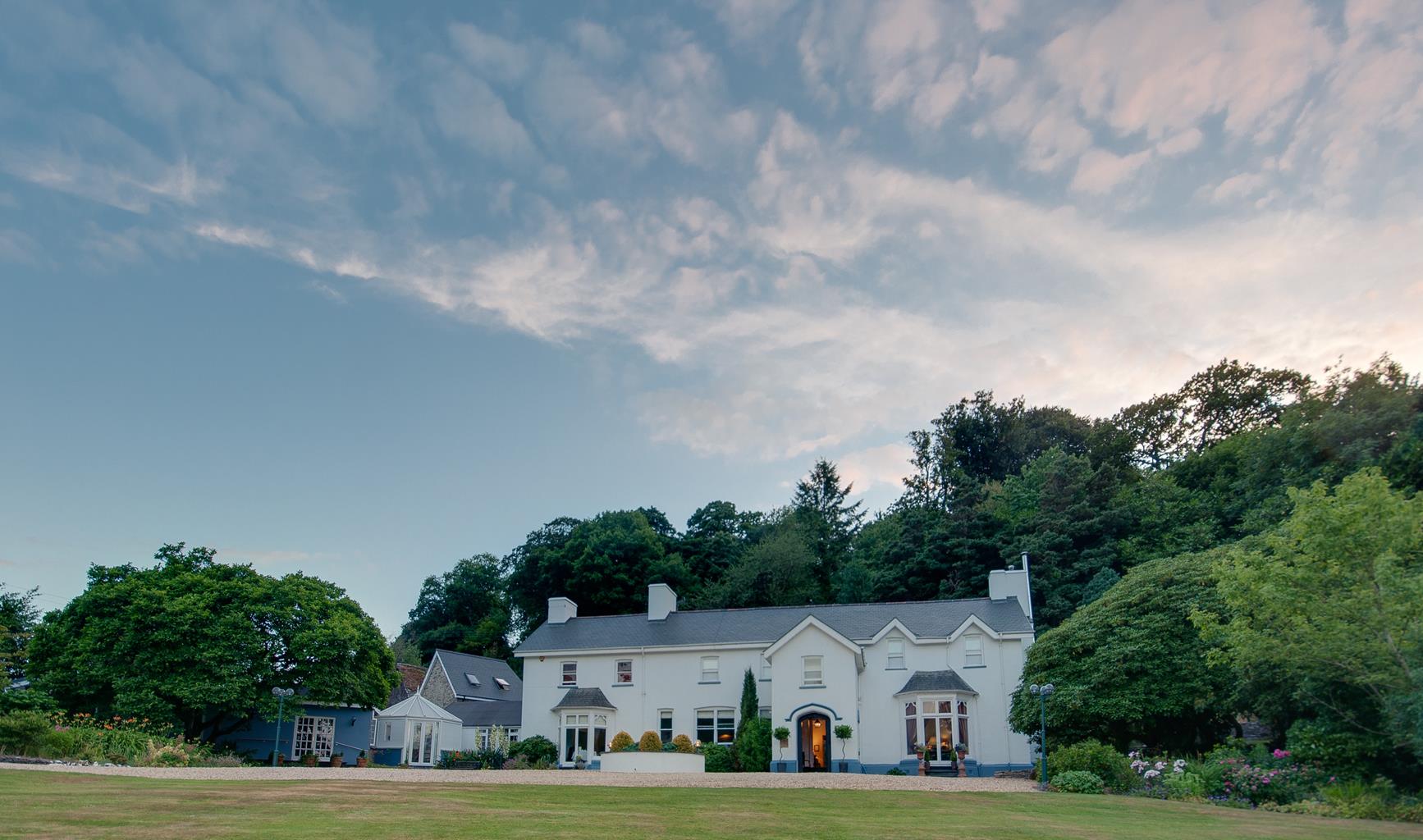
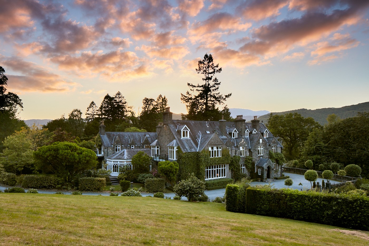

Ynysymaengwyn Caravan Park
A lovely park set in the wooded grounds of a former manor house, with designated nature trails…

Exploring the heights above Abergynolwyn and a stroll alongside the lovely Talyllyn Railway
Abergynolwyn
5 miles (8kms)
It was the Bryn Eglwys slate quarry that was responsible for the growth of Abergynolwyn in the mid-19th century. During peak output in the 1870s, the quarry employed almost 300 people, most of whom were housed – together with their families – in the solid terraced cottages still dominating the village today.
The Talyllyn Railway was opened in 1866 to carry slate from the quarry to the main-line railway at Tywyn. Right from the start, passenger traffic was substantial. The line was the first narrow-gauge steam railway in Britain authorised to carry passengers and profited considerably from the rapidly developing tourist industry. In 1877, there were the equivalent of around 40,000 passenger journeys on the line, while a further surge in holiday traffic in the 1920s led to slate wagons in the summer being fitted with planks as seats. Tourism alone could not keep the line open, however, and when the Bryn Eglwys quarry closed in 1946 the future of the Talyllyn Railway was immediately thrown into doubt. Fortunately, a group of enthusiasts got together to form the Talyllyn Railway Preservation Society, taking over ownership of the line in 1951. This was the first railway line to be preserved by enthusiasts, and the society’s intervention allowed the line to maintain its unbroken record of service.
Today, trains are hauled by a number of historic locomotives, including the two original 1866 engines, Talyllyn and Dolgoch, and two from the nearby Corris Railway. It is possible to travel in the original coaches (the oldest passenger coaches anywhere in the world still in regular service), or in vehicles from a number of closed lines such as the Corris Railway and the Glyn Valley Tramway.
The section of line traced by this walk – between Abergynolwyn and Nant Gwernol stations – is wonderfully scenic and concludes with a tumbling waterfall in a dramatic wooded gorge. After leaving Abergynolwyn, the walk follows the emerald valley of the Afon Dysynni to Pont Ystumanner before climbing steeply onto the heights above the village. Between the houses of Rhiwlas and Gelli-ddraenen there are fabulous views of Cadair Idris, Castell y Bere and the nearby hill of Craig yr Aderyn (‘Bird’s Rock’). This craggy peak is named after the large number of birds that nest on the summit, which include the only British colony of cormorants to breed inland.
Leave the car park and turn left, just before the river turn right and take an unpaved road on the right straight after a children’s play area and continue to an iron footbridge crossing the stream on your left. Follow a path up to a house and bear right.
A clear path follows the Afon Dysynni across the lower slopes of Gamallt. At an unmarked fork, take the path bearing downhill to the right and along the banks of the river. Continue to a farm (Rhiwlas), where the path joins an enclosed track.
Straight after the house, bear left up a grassy bank to a stile. Climb steeply ahead up a field, keeping parallel to a fence on the left. Cross a stile and then continue climbing towards a stand of gorse. Pass to the left of this, then bear slightly right between two rocky knolls to reach a stile in a fence.
Turn left beyond the stile and follow the fence across pastures, eventually descending to cross a small stream. Go through the metal field gate ahead and bear left to reach a stile. Turn right and follow a rough path up a wooded bank to a waymark post.
Keep ahead from the post to a stile, then ahead again along a green track to the right of a low bank. Go through a gate just before the cottage of Gelli-ddraenen and turn left up a paved track to meet a tarred lane. Turn left on this and eventually descend past Rhiwerfa farm to the B4405.
Turn left along the road to the entrance to Abergynolwyn Station. Walk up the station approach to a signed footpath on the left (‘Station’s Link Path’). Climb steps and follow the nearside of the railway for about 400yds (366m). Where directed, turn right on a forestry track, crossing the railway track. Turn left at the next junction, following a red waymark.
The track ends at a turning circle. Continue onto a footpath, which climbs to the right and reaches a left fork leading down to Nant Gwernol Station. Just before the station, turn sharp right then cross a footbridge and join a lovely waymarked footpath descending along the river. At a tarmac lane, bear left to return to the village centre.
Sketchy field paths, tracks and well-marked woodland trails
Pastured hills, valleys, spruce forest
Can run free in Dyfi Forest, otherwise should be on a lead at all times
OS Explorer OL23 Cadair Idris & Llyn Tegid
Free car park by Community Centre in Abergynolwyn
Inside Community Centre
Read our tips to look after yourself and the environment when following this walk.
The county of Gwynedd is home to most of the Snowdonia National Park – including the wettest spot in Britain, an arête running up to Snowdon’s summit that receives an average annual rainfall of 4,473mm. With its mighty peaks, rivers and strong Welsh heritage (it has the highest proportion of Welsh-speakers in all of Wales), it’s always been an extremely popular place to visit and live. The busiest part is around Snowdon; around 750,000 people climb, walk or ride the train to the summit each year.
Also in Gwynedd is the Llyn Peninsula, a remote part of Wales sticking 30 miles out into the Irish Sea. At the base of the peninsula is Porthmadog, a small town linked to Snowdonia by two steam railways – the Welsh Highland Railway and the Ffestiniog Railway. Other popular places are Criccieth, with a castle on its headland overlooking the beach, Pwllheli, and Abersoch and the St Tudwal Islands. Elsewhere, the peninsula is all about wildlife, tranquillity, and ancient sacred sites. Tre’r Ceiri hill fort is an Iron Age settlement set beside the coastal mountain of Yr Eifl, while Bardsey Island, at the tip of the peninsula, was the site of a fifth-century Celtic monastery.
Discover more than 15,000 professionally rated places to stay, eat and visit from across the UK and Ireland.
Choose a place to stay safe in the knowledge that it has been expertly assessed by trained assessors.
Search by location or the type of place you're visiting to find your next ideal holiday experience.
Read our articles, city guides and recommended things to do for inspiration. We're here to help you explore the UK.